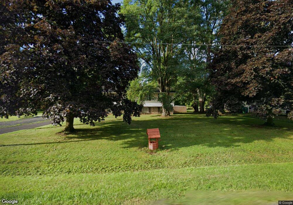
6678 Wick Rd Lockport, NY 14094
Estimated Value: $259,000 - $314,000
3
Beds
2
Baths
1,590
Sq Ft
$177/Sq Ft
Est. Value
About This Home
This home is located at 6678 Wick Rd, Lockport, NY 14094 and is currently estimated at $281,595, approximately $177 per square foot. 6678 Wick Rd is a home located in Niagara County with nearby schools including Newfane Elementary School, Newfane Middle School, and Newfane Senior High School.
Ownership History
Date
Name
Owned For
Owner Type
Purchase Details
Closed on
Feb 14, 2008
Sold by
Crafts M Anita
Bought by
Perski Brian
Current Estimated Value
Home Financials for this Owner
Home Financials are based on the most recent Mortgage that was taken out on this home.
Original Mortgage
$98,223
Outstanding Balance
$62,215
Interest Rate
6.14%
Mortgage Type
FHA
Estimated Equity
$219,380
Purchase Details
Closed on
Mar 13, 2002
Sold by
Schuler Mary
Bought by
Crafts M Anita
Create a Home Valuation Report for This Property
The Home Valuation Report is an in-depth analysis detailing your home's value as well as a comparison with similar homes in the area
Home Values in the Area
Average Home Value in this Area
Purchase History
| Date | Buyer | Sale Price | Title Company |
|---|---|---|---|
| Perski Brian | $99,000 | Richard May | |
| Crafts M Anita | -- | Morgan Jones |
Source: Public Records
Mortgage History
| Date | Status | Borrower | Loan Amount |
|---|---|---|---|
| Open | Perski Brian | $98,223 |
Source: Public Records
Tax History Compared to Growth
Tax History
| Year | Tax Paid | Tax Assessment Tax Assessment Total Assessment is a certain percentage of the fair market value that is determined by local assessors to be the total taxable value of land and additions on the property. | Land | Improvement |
|---|---|---|---|---|
| 2024 | $4,436 | $197,000 | $40,500 | $156,500 |
| 2023 | $4,282 | $179,000 | $33,100 | $145,900 |
| 2022 | $4,232 | $163,000 | $33,100 | $129,900 |
| 2021 | $4,446 | $135,000 | $22,100 | $112,900 |
| 2020 | $3,577 | $135,000 | $22,100 | $112,900 |
| 2019 | $2,974 | $128,000 | $22,100 | $105,900 |
| 2018 | $3,486 | $123,800 | $22,100 | $101,700 |
| 2017 | $2,974 | $105,000 | $22,100 | $82,900 |
| 2016 | $3,107 | $105,000 | $22,100 | $82,900 |
| 2015 | -- | $102,000 | $22,100 | $79,900 |
| 2014 | -- | $102,000 | $22,100 | $79,900 |
Source: Public Records
Map
Nearby Homes
- 4180 Day Rd
- 4307 Lake Ave
- 4311 Lake Ave
- 6603 Mulligan Dr
- 3902 Lockport Olcott Rd
- 6358 Ridge Rd
- 6361 Old Niagara Rd Unit 6365
- 3708 Lockport Olcott Rd
- 7216 V/LOT Groff Wilson Rd
- 225 Center St
- 82 Lake Ave
- 1215 Ridgewood Dr
- 3980 Ridgelea Dr
- 225 Olcott St
- 6077 Ridge Rd
- 166 Olcott St
- 42 Beverly Ave
- 133 Windermere Rd
- 35 Beverly Ave
- 7308 Rochester Rd