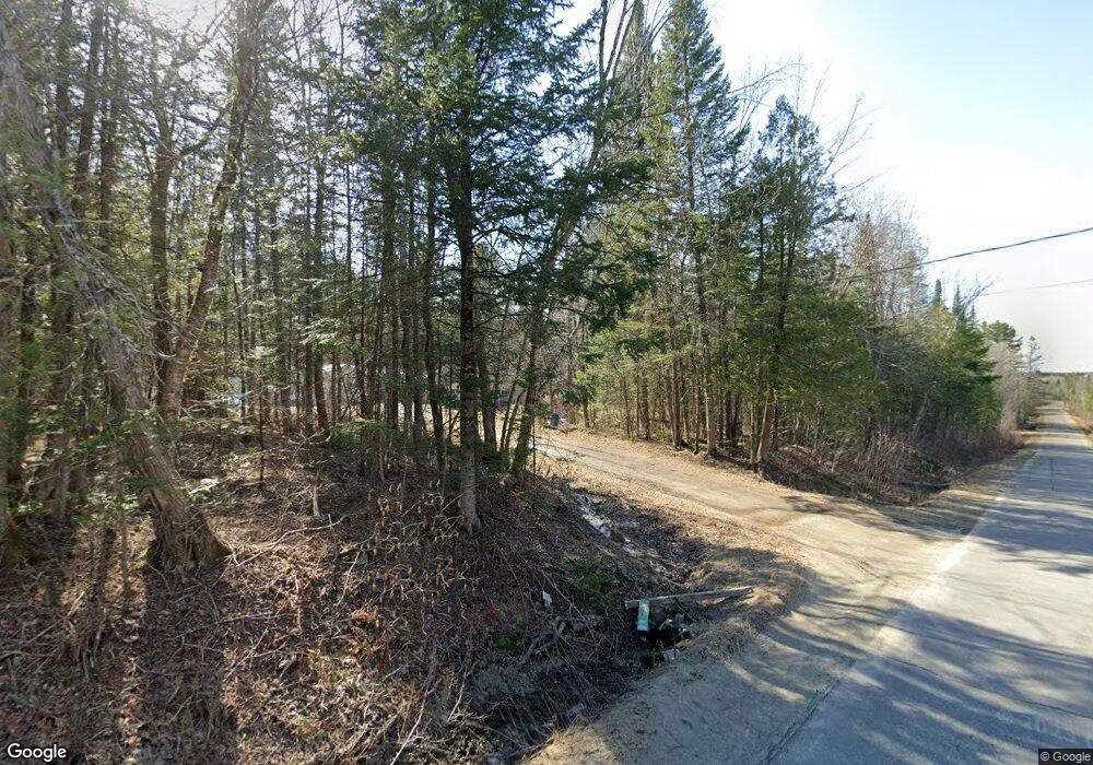
668 Molunkus Rd Cornville, ME 04976
Estimated Value: $224,794 - $461,000
3
Beds
2
Baths
1,560
Sq Ft
$188/Sq Ft
Est. Value
About This Home
This home is located at 668 Molunkus Rd, Cornville, ME 04976 and is currently estimated at $292,949, approximately $187 per square foot. 668 Molunkus Rd is a home.
Create a Home Valuation Report for This Property
The Home Valuation Report is an in-depth analysis detailing your home's value as well as a comparison with similar homes in the area
Tax History
| Year | Tax Paid | Tax Assessment Tax Assessment Total Assessment is a certain percentage of the fair market value that is determined by local assessors to be the total taxable value of land and additions on the property. | Land | Improvement |
|---|---|---|---|---|
| 2024 | $1,644 | $155,130 | $46,460 | $108,670 |
| 2023 | $1,585 | $109,320 | $33,800 | $75,520 |
| 2022 | $1,585 | $109,320 | $33,800 | $75,520 |
| 2021 | $1,585 | $109,320 | $33,800 | $75,520 |
| 2020 | $1,813 | $109,320 | $33,800 | $75,520 |
| 2019 | $1,793 | $86,890 | $26,000 | $60,890 |
| 2018 | $2,151 | $86,890 | $26,000 | $60,890 |
| 2017 | $2,143 | $64,100 | $29,700 | $34,400 |
| 2016 | $1,090 | $64,100 | $29,700 | $34,400 |
| 2015 | $1,090 | $64,100 | $29,700 | $34,400 |
| 2013 | $1,090 | $64,100 | $29,700 | $34,400 |
Source: Public Records
Map
Nearby Homes
- 167 Lower Mills Rd
- M9 L29 Beckwith Rd
- M9 L29 N Beckwith Rd
- M9 L29 S Beckwith Rd
- 14 Lower Mills Rd
- 7 & 9 Crane Ln
- M40 L13-6 Mallard Rd
- M40 L13-7 Mallard Rd
- 58 Naomi Ave
- 21 Naomi Ave
- 28 Messina Dr
- 394 Lakewood Rd
- 615 White School House Rd
- 176 W Ridge Rd
- 22 Deer Hill Estates
- 538 Malbons Mills Rd
- 477 Malbons Mills Rd
- 1313 Beckwith Rd
- 1266 W Ridge Rd
- 28 Dr Mann Rd
