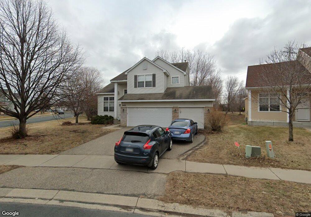
6682 Ashton Cir Shakopee, MN 55379
Estimated Value: $496,201 - $537,000
4
Beds
3
Baths
2,700
Sq Ft
$192/Sq Ft
Est. Value
About This Home
This home is located at 6682 Ashton Cir, Shakopee, MN 55379 and is currently estimated at $518,300, approximately $191 per square foot. 6682 Ashton Cir is a home located in Scott County with nearby schools including Red Oak Elementary School, Shakopee West Middle School, and Shakopee Senior High School.
Ownership History
Date
Name
Owned For
Owner Type
Purchase Details
Closed on
Mar 12, 2010
Sold by
Mitchell Gordon and Mitchell Teresa
Bought by
Thoma Nichol D and Thoma Steven W
Current Estimated Value
Purchase Details
Closed on
Oct 28, 2009
Sold by
Deutsche Bank National Trust Company
Bought by
Mitchell Gordon E
Purchase Details
Closed on
Dec 21, 2004
Sold by
Hall Jeffrey C
Bought by
Le Van Thi Bich and Vo Danh
Purchase Details
Closed on
Aug 24, 2000
Sold by
Mcguire Kevin P and Mcguire Kelly L
Bought by
Hall Jeffrey C
Purchase Details
Closed on
Jun 18, 1999
Sold by
Centex Homes Minnesota Division
Bought by
Mcguire Kevin P and Mcguire Kelly
Create a Home Valuation Report for This Property
The Home Valuation Report is an in-depth analysis detailing your home's value as well as a comparison with similar homes in the area
Home Values in the Area
Average Home Value in this Area
Purchase History
| Date | Buyer | Sale Price | Title Company |
|---|---|---|---|
| Thoma Nichol D | $276,500 | -- | |
| Mitchell Gordon E | $212,500 | -- | |
| Le Van Thi Bich | $328,000 | -- | |
| Hall Jeffrey C | $237,000 | -- | |
| Mcguire Kevin P | $218,730 | -- |
Source: Public Records
Tax History Compared to Growth
Tax History
| Year | Tax Paid | Tax Assessment Tax Assessment Total Assessment is a certain percentage of the fair market value that is determined by local assessors to be the total taxable value of land and additions on the property. | Land | Improvement |
|---|---|---|---|---|
| 2025 | $4,862 | $472,900 | $151,100 | $321,800 |
| 2024 | $4,842 | $465,800 | $148,200 | $317,600 |
| 2023 | $4,884 | $453,300 | $142,900 | $310,400 |
| 2022 | $4,380 | $449,600 | $137,400 | $312,200 |
| 2021 | $3,774 | $349,700 | $119,100 | $230,600 |
| 2020 | $4,178 | $331,200 | $99,300 | $231,900 |
| 2019 | $4,276 | $323,100 | $92,100 | $231,000 |
| 2018 | $4,222 | $0 | $0 | $0 |
| 2016 | $4,282 | $0 | $0 | $0 |
| 2014 | -- | $0 | $0 | $0 |
Source: Public Records
Map
Nearby Homes
- 6869 Falmouth Curve
- 7287 Falmouth Curve
- 7263 Falmouth Curve
- 1463 Ashbourne Cir
- 1789 Windsor Dr S
- 7379 Devin Ln
- 1515 Yorkshire Ln
- 1411 Yorkshire Ln
- 7584 Derby Ln
- 7432 Whitehall Rd
- 1782 Switchgrass Cir
- 2015 Brookview St
- Sheridan & Sheridan C Plan at Whispering Waters
- Preston I & II Plan at Whispering Waters
- Newport Plan at Whispering Waters
- Morgan Plan at Whispering Waters
- Mackenzie Plan at Whispering Waters
- Lincoln II Plan at Whispering Waters
- Highlands Plan at Whispering Waters
- Greystone Plan at Whispering Waters
- 6676 Ashton Cir
- 6690 Carlisle Curve
- 6670 Ashton Cir
- 6698 Carlisle Curve
- 6671 Carlisle Curve
- 6651 Carlisle Curve
- 6691 Carlisle Curve
- 6658 Ashton Cir
- 6641 Carlisle Curve
- 6708 Carlisle Curve
- 6701 Carlisle Curve
- 6652 Ashton Cir
- 6631 Carlisle Curve
- 6721 Carlisle Curve
- 6688 Danbury Curve
- 6728 Carlisle Curve
- 6678 Danbury Curve
- 6642 Ashton Cir
- 6698 Danbury Curve
- 6658 Danbury Curve