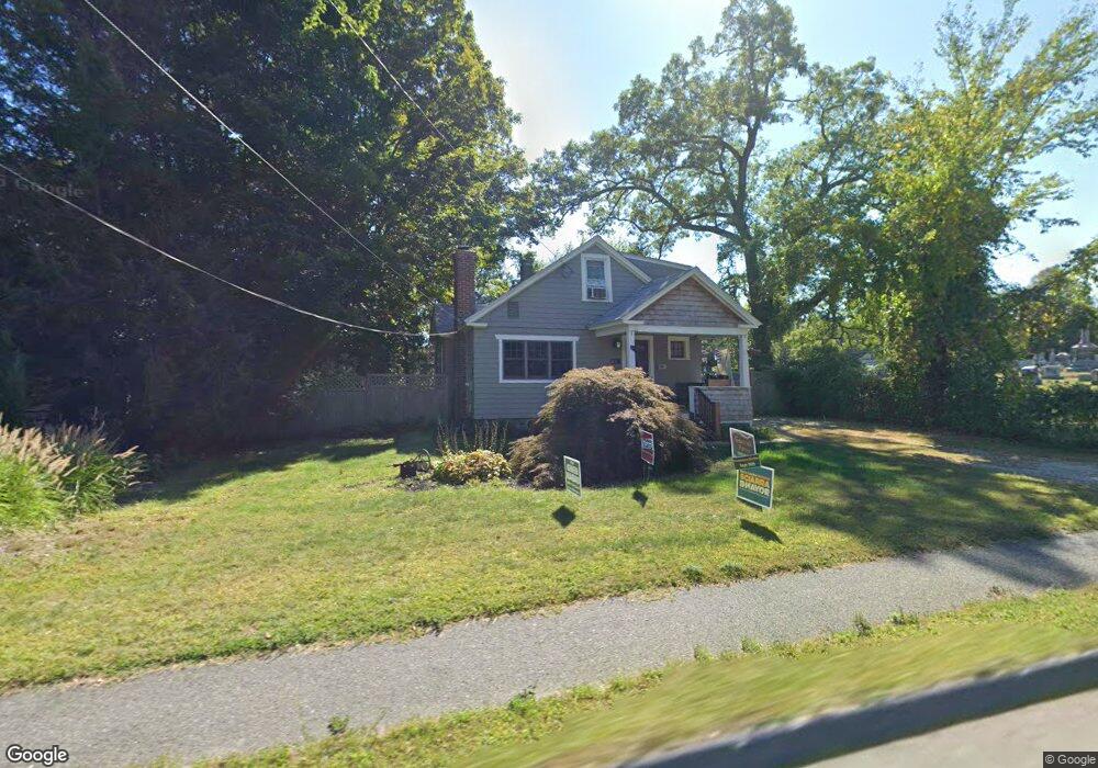
669 Bridge Rd Northampton, MA 01060
Estimated Value: $329,000 - $521,000
2
Beds
1
Bath
1,531
Sq Ft
$272/Sq Ft
Est. Value
About This Home
This home is located at 669 Bridge Rd, Northampton, MA 01060 and is currently estimated at $416,042, approximately $271 per square foot. 669 Bridge Rd is a home located in Hampshire County with nearby schools including Northampton High School, The Montessori School of Northampton, and Lander Grinspoon Academy.
Ownership History
Date
Name
Owned For
Owner Type
Purchase Details
Closed on
Sep 1, 1999
Sold by
Tighe Mary E
Bought by
Navin Thomas P
Current Estimated Value
Purchase Details
Closed on
Apr 29, 1994
Sold by
Clark Kerrie Jones
Bought by
Tighe Mary E
Create a Home Valuation Report for This Property
The Home Valuation Report is an in-depth analysis detailing your home's value as well as a comparison with similar homes in the area
Home Values in the Area
Average Home Value in this Area
Purchase History
| Date | Buyer | Sale Price | Title Company |
|---|---|---|---|
| Navin Thomas P | $100,000 | -- | |
| Tighe Mary E | $100,000 | -- |
Source: Public Records
Mortgage History
| Date | Status | Borrower | Loan Amount |
|---|---|---|---|
| Open | Tighe Mary E | $80,000 | |
| Closed | Tighe Mary E | $25,000 | |
| Open | Tighe Mary E | $130,000 |
Source: Public Records
Tax History Compared to Growth
Tax History
| Year | Tax Paid | Tax Assessment Tax Assessment Total Assessment is a certain percentage of the fair market value that is determined by local assessors to be the total taxable value of land and additions on the property. | Land | Improvement |
|---|---|---|---|---|
| 2025 | $4,303 | $308,900 | $115,200 | $193,700 |
| 2024 | $4,144 | $272,800 | $115,200 | $157,600 |
| 2023 | $3,271 | $206,500 | $104,700 | $101,800 |
| 2022 | $3,585 | $200,400 | $104,700 | $95,700 |
| 2021 | $3,222 | $185,500 | $99,800 | $85,700 |
| 2020 | $3,116 | $185,500 | $99,800 | $85,700 |
| 2019 | $2,838 | $163,400 | $85,700 | $77,700 |
| 2018 | $2,788 | $163,600 | $85,700 | $77,900 |
| 2017 | $2,730 | $163,600 | $85,700 | $77,900 |
| 2016 | $2,644 | $163,600 | $85,700 | $77,900 |
| 2015 | $2,792 | $176,700 | $85,700 | $91,000 |
| 2014 | $2,719 | $176,700 | $85,700 | $91,000 |
Source: Public Records
Map
Nearby Homes
- 51 1/2 Hatfield St Unit 6
- 0 Terrace Ln
- 4 Gleason Rd
- 16 Taylor St
- 152 S Main St Unit 4
- 152 S Main St Unit 6
- 152 S Main St Unit 8
- 152 S Main St Unit 7
- 152 S Main St Unit 5
- 74 Barrett St Unit 105
- 90 Fox Farms Rd
- 103 Massasoit St
- 63 Riverside Dr
- 89 Main St Unit D
- 14 Arlington St
- 206 Prospect St
- 80 Pine St
- 76 Maple St
- 36 Landy Ave
- 32 Stonewall Dr
- 675 Bridge Rd
- 685 Bridge Rd
- 670 Bridge Rd
- 693 Bridge Rd
- 697 Bridge Rd
- 705 Bridge Rd
- 711 Bridge Rd
- 712 Bridge Rd
- 68 Hatfield St
- 68 Hatfield St Unit B
- 68 Hatfield St Unit A
- 70 Hatfield St Unit 70A
- 70 Hatfield St
- 70 Hatfield St Unit B
- 716 Bridge Rd
- 11 Butternut Ln Unit 11
- 64 Hatfield St
- 72 Hatfield St Unit B
- 72 Hatfield St Unit A
- 72 Hatfield St