Estimated Value: $510,474 - $582,000
3
Beds
3
Baths
1,596
Sq Ft
$339/Sq Ft
Est. Value
About This Home
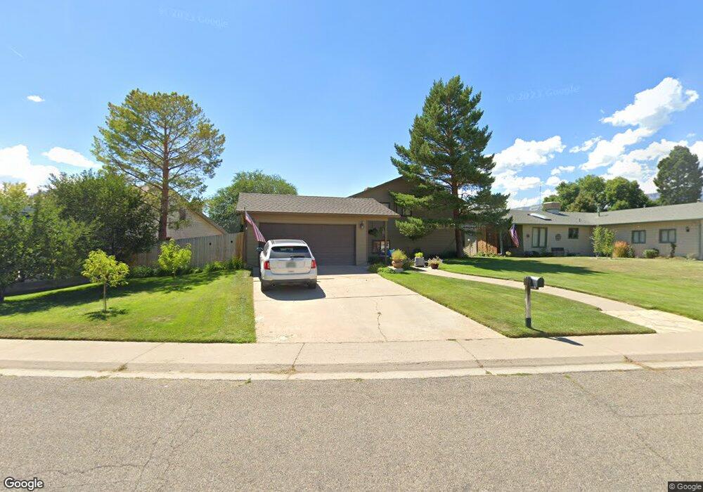
This home is located at 669 Mesa Ave, Rifle, CO 81650 and is currently estimated at $540,369, approximately $338 per square foot. 669 Mesa Ave is a home located in Garfield County with nearby schools including Graham Mesa Elementary School, Rifle Middle School, and Rifle High School.
Ownership History
Date
Name
Owned For
Owner Type
Purchase Details
Closed on
Jan 29, 2019
Sold by
Long Yvonne E and Cross Yvonne Long
Bought by
Cross Robert Eugene and Cross Yvonne Long
Current Estimated Value
Purchase Details
Closed on
Dec 28, 2016
Sold by
Long Brett B and Long Yvonne E
Bought by
Long Yvonne E
Home Financials for this Owner
Home Financials are based on the most recent Mortgage that was taken out on this home.
Original Mortgage
$208,587
Outstanding Balance
$172,529
Interest Rate
4.25%
Mortgage Type
FHA
Estimated Equity
$367,840
Purchase Details
Closed on
Sep 24, 1993
Create a Home Valuation Report for This Property
The Home Valuation Report is an in-depth analysis detailing your home's value as well as a comparison with similar homes in the area
Home Values in the Area
Average Home Value in this Area
Purchase History
| Date | Buyer | Sale Price | Title Company |
|---|---|---|---|
| Cross Robert Eugene | -- | None Available | |
| Long Yvonne E | -- | First American Title Ins Co | |
| -- | $92,000 | -- |
Source: Public Records
Mortgage History
| Date | Status | Borrower | Loan Amount |
|---|---|---|---|
| Open | Long Yvonne E | $208,587 |
Source: Public Records
Tax History Compared to Growth
Tax History
| Year | Tax Paid | Tax Assessment Tax Assessment Total Assessment is a certain percentage of the fair market value that is determined by local assessors to be the total taxable value of land and additions on the property. | Land | Improvement |
|---|---|---|---|---|
| 2024 | $1,398 | $25,030 | $5,550 | $19,480 |
| 2023 | $1,398 | $25,030 | $5,550 | $19,480 |
| 2022 | $1,018 | $21,170 | $5,210 | $15,960 |
| 2021 | $1,170 | $21,780 | $5,360 | $16,420 |
| 2020 | $1,405 | $19,210 | $3,150 | $16,060 |
| 2019 | $1,277 | $18,450 | $3,150 | $15,300 |
| 2018 | $1,122 | $15,840 | $2,950 | $12,890 |
| 2017 | $1,013 | $15,840 | $2,950 | $12,890 |
| 2016 | $840 | $14,870 | $2,870 | $12,000 |
| 2015 | $776 | $14,870 | $2,870 | $12,000 |
| 2014 | -- | $9,340 | $1,750 | $7,590 |
Source: Public Records
Map
Nearby Homes
- 1617 W 7th St
- 580 Will Ave
- 336 Will Ave
- 1110 Arnold Ct
- 1008 Wamsley Way
- 990 Wamsley Way
- 108 Ray Ave
- 342 Elm Ave
- 500 Fairway Ave
- 335 Hutton Ave
- TBD Stillwell Ave
- 663 Park Ave
- 531 Park Ave
- 381 W 5th St Unit 2
- 751 Park Ave
- 2432 Pioneer Way
- 1016 Stillwell Ave
- 426 Crockett Cir
- 2495 Pioneer Way
- 758 Railroad Ave