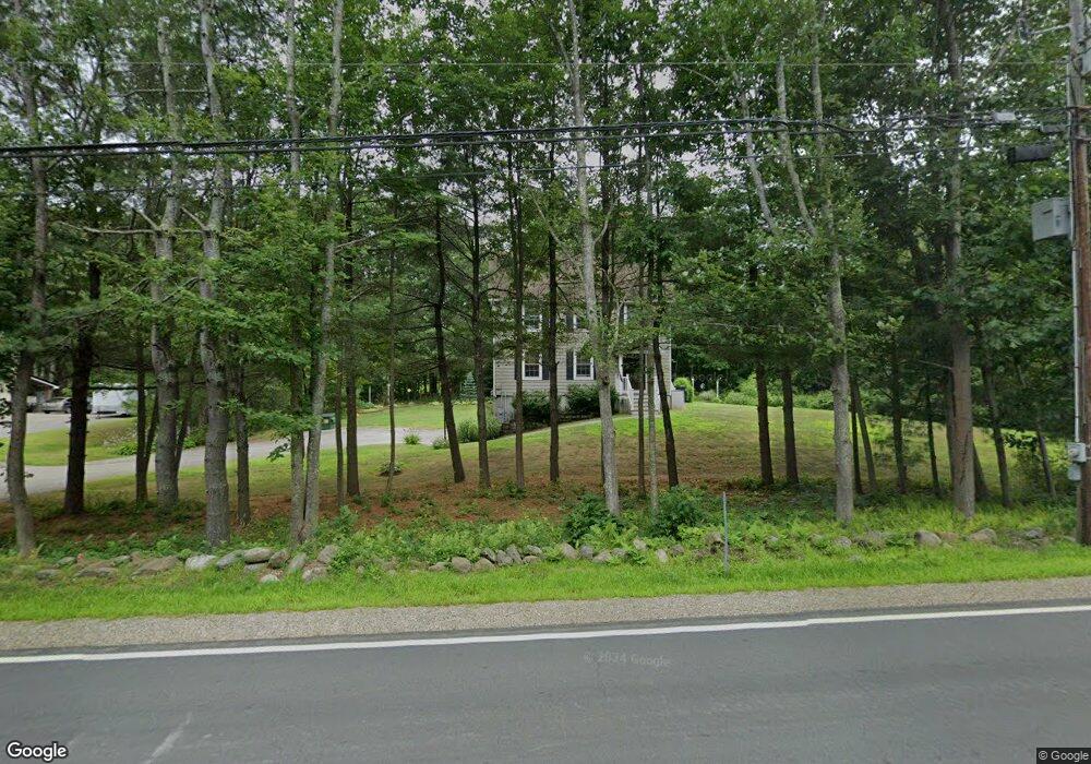
669 S Barnstead Rd Barnstead, NH 03225
Estimated Value: $423,000 - $704,000
3
Beds
2
Baths
1,440
Sq Ft
$378/Sq Ft
Est. Value
About This Home
This home is located at 669 S Barnstead Rd, Barnstead, NH 03225 and is currently estimated at $544,968, approximately $378 per square foot. 669 S Barnstead Rd is a home located in Belknap County with nearby schools including Barnstead Elementary School and Prospect Mountain High School.
Ownership History
Date
Name
Owned For
Owner Type
Purchase Details
Closed on
Feb 29, 2016
Sold by
Murray William W
Bought by
Murray Kathryn A and Murray William W
Current Estimated Value
Home Financials for this Owner
Home Financials are based on the most recent Mortgage that was taken out on this home.
Original Mortgage
$176,000
Outstanding Balance
$140,540
Interest Rate
3.92%
Mortgage Type
Purchase Money Mortgage
Estimated Equity
$404,428
Purchase Details
Closed on
Nov 22, 2005
Sold by
Jip Construction Llc
Bought by
Murray William W
Home Financials for this Owner
Home Financials are based on the most recent Mortgage that was taken out on this home.
Original Mortgage
$177,900
Interest Rate
6.07%
Create a Home Valuation Report for This Property
The Home Valuation Report is an in-depth analysis detailing your home's value as well as a comparison with similar homes in the area
Home Values in the Area
Average Home Value in this Area
Purchase History
| Date | Buyer | Sale Price | Title Company |
|---|---|---|---|
| Murray Kathryn A | -- | -- | |
| Murray William W | $222,400 | -- |
Source: Public Records
Mortgage History
| Date | Status | Borrower | Loan Amount |
|---|---|---|---|
| Open | Murray Kathryn A | $176,000 | |
| Previous Owner | Murray William W | $177,900 |
Source: Public Records
Tax History Compared to Growth
Tax History
| Year | Tax Paid | Tax Assessment Tax Assessment Total Assessment is a certain percentage of the fair market value that is determined by local assessors to be the total taxable value of land and additions on the property. | Land | Improvement |
|---|---|---|---|---|
| 2024 | $6,318 | $387,400 | $112,000 | $275,400 |
| 2023 | $5,559 | $387,400 | $112,000 | $275,400 |
| 2022 | $5,298 | $245,300 | $56,600 | $188,700 |
| 2021 | $5,387 | $245,300 | $56,600 | $188,700 |
| 2020 | $5,666 | $245,300 | $56,600 | $188,700 |
| 2019 | $5,600 | $245,300 | $56,600 | $188,700 |
| 2018 | $5,458 | $245,300 | $56,600 | $188,700 |
| 2017 | $5,208 | $180,200 | $38,000 | $142,200 |
| 2016 | $4,905 | $180,000 | $38,000 | $142,000 |
| 2015 | $4,887 | $180,000 | $38,000 | $142,000 |
| 2014 | $4,457 | $186,000 | $38,000 | $148,000 |
| 2013 | $3,981 | $169,400 | $38,000 | $131,400 |
Source: Public Records
Map
Nearby Homes
- 572 S Barnstead Rd
- 152 Evans Rd
- 11 Gray Rd
- 85 Province Rd
- L68-1 Vail Rd
- 4 Sandy Point Rd
- L68-2 Vail Rd
- 1760 Province Rd
- 38 Chapelle Rd
- 109 Vail Rd
- 109 Shackford Corner Rd
- 77 Holmes Rd
- 77 Vail Rd
- 277 Shackford Corner Rd
- 25 Vail Rd
- R11 07 Clough Rd
- M2-l29-2 Province Rd
- 449 Tilton Hill Rd
- L33 Province Rd
- 22-54 Red Oak Rd
- 0 S Barnstead Rd Unit 4244194
- 671 S Barnstead Rd
- 666 S Barnstead Rd
- 680 S Barnstead Rd
- 649 S Barnstead Rd
- 24 John Tasker Rd
- 645 S Barnstead Rd
- 698 S Barnstead Rd
- 16 John Tasker Rd
- 4 John Tasker Rd
- 707 S Barnstead Rd
- 630 S Barnstead Rd
- 710 S Barnstead Rd
- 3 John Tasker Rd
- 624 S Barnstead Rd
- 19 Sam Clark Rd
- 54 John Tasker Rd
- 12 Sam Clark Rd
- 618 S Barnstead Rd
- 618 S Barnstead Rd