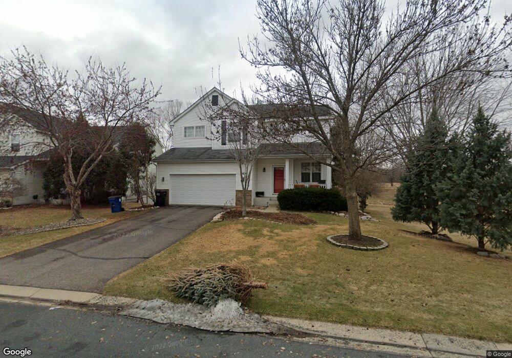
6690 Carlisle Curve Shakopee, MN 55379
Estimated Value: $450,000 - $484,000
3
Beds
3
Baths
1,924
Sq Ft
$241/Sq Ft
Est. Value
About This Home
This home is located at 6690 Carlisle Curve, Shakopee, MN 55379 and is currently estimated at $463,684, approximately $241 per square foot. 6690 Carlisle Curve is a home located in Scott County with nearby schools including Red Oak Elementary School, Shakopee West Middle School, and Shakopee Senior High School.
Ownership History
Date
Name
Owned For
Owner Type
Purchase Details
Closed on
Sep 30, 2020
Sold by
Freeman Scot E and Desmarais Kim A
Bought by
Quintero Kassandra and Prady Kyle R
Current Estimated Value
Home Financials for this Owner
Home Financials are based on the most recent Mortgage that was taken out on this home.
Original Mortgage
$349,600
Outstanding Balance
$310,951
Interest Rate
2.9%
Mortgage Type
New Conventional
Estimated Equity
$152,733
Create a Home Valuation Report for This Property
The Home Valuation Report is an in-depth analysis detailing your home's value as well as a comparison with similar homes in the area
Home Values in the Area
Average Home Value in this Area
Purchase History
| Date | Buyer | Sale Price | Title Company |
|---|---|---|---|
| Quintero Kassandra | $368,000 | Executive Associates Title |
Source: Public Records
Mortgage History
| Date | Status | Borrower | Loan Amount |
|---|---|---|---|
| Open | Quintero Kassandra | $349,600 |
Source: Public Records
Tax History Compared to Growth
Tax History
| Year | Tax Paid | Tax Assessment Tax Assessment Total Assessment is a certain percentage of the fair market value that is determined by local assessors to be the total taxable value of land and additions on the property. | Land | Improvement |
|---|---|---|---|---|
| 2025 | $4,508 | $441,200 | $165,600 | $275,600 |
| 2024 | $4,510 | $434,400 | $162,300 | $272,100 |
| 2023 | $4,536 | $422,000 | $156,000 | $266,000 |
| 2022 | $3,974 | $417,400 | $150,000 | $267,400 |
| 2021 | $3,350 | $319,800 | $118,800 | $201,000 |
| 2020 | $3,668 | $297,500 | $99,000 | $198,500 |
| 2019 | $3,708 | $287,400 | $91,800 | $195,600 |
| 2018 | $3,838 | $0 | $0 | $0 |
| 2016 | $3,870 | $0 | $0 | $0 |
| 2014 | -- | $0 | $0 | $0 |
Source: Public Records
Map
Nearby Homes
- 6869 Falmouth Curve
- 7499 Derby Ln
- 1339 Yorkshire Ln
- 7450 Ridge Creek Trail
- 8042 Stratford Cir S
- 1782 Switchgrass Cir
- 7427 Water St
- 7422 Waverly Ave
- 7206 22nd Ave E
- 7142 22nd Ave S
- 7660 Waverly Ave
- 7696 Waverly Ave
- 7687 22nd Ave S
- 7698 22nd Ave E
- 7638 22nd Ave S
- 7499 22nd Ave S
- 7675 22nd Ave S
- 4474 Bulrush Blvd
- 1551 Coneflower Ln
- 13200 Henning Cir NE
- 6698 Carlisle Curve
- 6682 Ashton Cir
- 6676 Ashton Cir
- 6708 Carlisle Curve
- 6691 Carlisle Curve
- 6671 Carlisle Curve
- 6701 Carlisle Curve
- 6670 Ashton Cir
- 6728 Carlisle Curve
- 6651 Carlisle Curve
- 6721 Carlisle Curve
- 6748 Carlisle Curve
- 6658 Ashton Cir
- 6641 Carlisle Curve
- 6741 Carlisle Curve
- 6688 Danbury Curve
- 6698 Danbury Curve
- 6678 Danbury Curve
- 6768 Carlisle Curve
- 6631 Carlisle Curve