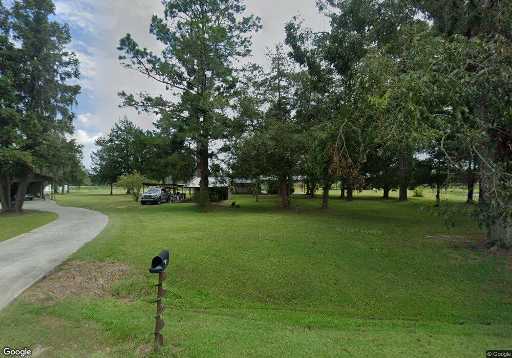
6696 Grooverville Rd Quitman, GA 31643
Estimated Value: $187,000 - $352,000
Studio
1
Bath
1,568
Sq Ft
$168/Sq Ft
Est. Value
About This Home
This home is located at 6696 Grooverville Rd, Quitman, GA 31643 and is currently estimated at $263,161, approximately $167 per square foot. 6696 Grooverville Rd is a home located in Brooks County with nearby schools including Quitman Elementary School and Westbrook School.
Ownership History
Date
Name
Owned For
Owner Type
Purchase Details
Closed on
Mar 25, 2019
Sold by
Elsberry Dewey N
Bought by
Peters Bryan
Current Estimated Value
Purchase Details
Closed on
Jan 29, 2015
Sold by
Elsberry Dewey and Elsberry Betty
Bought by
Conservation Use Covenant Recording
Purchase Details
Closed on
Aug 24, 2004
Sold by
Elsberry Betty Etal
Bought by
Elsberry Dewey and Elsberry Betty
Purchase Details
Closed on
Feb 20, 1997
Sold by
Huffmaster Wb
Bought by
Elsberry Dewey and Elsberry Betty
Purchase Details
Closed on
Apr 24, 1987
Bought by
Elsberry Dewey and Elsberry Betty
Purchase Details
Closed on
Oct 9, 1985
Bought by
Elsberry Dewey and Elsberry Betty
Create a Home Valuation Report for This Property
The Home Valuation Report is an in-depth analysis detailing your home's value as well as a comparison with similar homes in the area
Purchase History
We collect this data history from publicly available records. To have your information removed, we recommend requesting removal directly through your county’s website.
| Date | Buyer | Sale Price | Title Company |
|---|---|---|---|
| Peters Bryan | $109,776 | -- | |
| Conservation Use Covenant Recording | -- | -- | |
| Elsberry Dewey | -- | -- | |
| Elsberry Dewey | -- | -- | |
| Elsberry Dewey | -- | -- | |
| Elsberry Dewey | -- | -- |
Source: Public Records
Tax History
| Year | Tax Paid | Tax Assessment Tax Assessment Total Assessment is a certain percentage of the fair market value that is determined by local assessors to be the total taxable value of land and additions on the property. | Land | Improvement |
|---|---|---|---|---|
| 2025 | $1,876 | $102,692 | $46,120 | $56,572 |
| 2024 | $1,882 | $103,092 | $46,120 | $56,972 |
| 2023 | $1,292 | $92,812 | $40,240 | $52,572 |
| 2022 | $1,577 | $80,052 | $38,320 | $41,732 |
| 2021 | $1,408 | $70,732 | $32,640 | $38,092 |
| 2020 | $1,965 | $70,772 | $32,960 | $37,812 |
| 2019 | $1,731 | $106,852 | $70,360 | $36,492 |
| 2018 | $3,073 | $105,212 | $68,680 | $36,532 |
| 2017 | $1,671 | $104,052 | $68,680 | $35,372 |
| 2016 | $1,737 | $105,740 | $68,680 | $37,060 |
| 2015 | -- | $105,620 | $68,680 | $36,940 |
| 2014 | -- | $107,152 | $68,160 | $38,992 |
| 2013 | -- | $108,656 | $66,600 | $42,056 |
Source: Public Records
Map
Nearby Homes
- 830 Snow Ave
- 5199 U S 84
- 2156 County Road 78
- 3200 Hickory Head Rd
- 10221 Dixie Rd
- 179 Baker St
- 2466 Dunn Rd
- 103 Camellia Dr
- 804 Westlake Dr
- 1501 W Screven St
- 309 Eastlake Dr
- 0 Madison Hwy Unit 147194
- Lot 14 Dawn Ln
- 606 N Court St
- 203 N Clay St
- 204 Oak St
- 0 E Gordon St
- 807 N Court St
- 302 W Courtland Ave
- 802 E Lafayette St
- 6720 Grooverville Rd
- 6566 Grooverville Rd
- 6519 Grooverville Rd
- 6446 Grooverville Rd
- 3280 Dodd Rd
- 3015 Dodd Rd
- 7190 Grooverville Rd
- 6119 Grooverville Rd
- 2191 Renfroe Rd
- 5939 Grooverville Rd
- 5930 Grooverville Rd
- 5967 Grooverville Rd
- 5894 Grooverville Rd
- 2603 Dodd Rd
- 2088 Renfroe Rd
- 25+ Acres Renfroe Rd
- 2026 Renfroe Rd
Your Personal Tour Guide
Ask me questions while you tour the home.