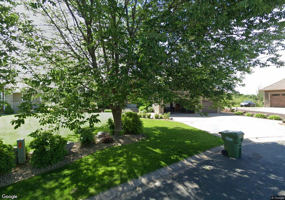
6697 Ruffed Grouse Rd Circle Pines, MN 55014
Estimated Value: $658,000 - $706,693
4
Beds
4
Baths
3,019
Sq Ft
$227/Sq Ft
Est. Value
About This Home
This home is located at 6697 Ruffed Grouse Rd, Circle Pines, MN 55014 and is currently estimated at $684,423, approximately $226 per square foot. 6697 Ruffed Grouse Rd is a home located in Anoka County with nearby schools including Rice Lake Elementary School, Centennial Middle School, and Centennial High School.
Ownership History
Date
Name
Owned For
Owner Type
Purchase Details
Closed on
May 27, 2021
Sold by
Cory Mark T and Cory Margaret T
Bought by
Erickson James and Oleary Megan K
Current Estimated Value
Home Financials for this Owner
Home Financials are based on the most recent Mortgage that was taken out on this home.
Original Mortgage
$496,000
Outstanding Balance
$449,066
Interest Rate
2.9%
Mortgage Type
New Conventional
Estimated Equity
$235,357
Purchase Details
Closed on
Aug 8, 1996
Sold by
Pierce & Associates Design/Build Inc
Bought by
Cory Mark T and Cory Margaret T
Purchase Details
Closed on
Apr 4, 1996
Sold by
Hokanson Dev Co
Bought by
Pierce & Assoc Design/Build Inc
Create a Home Valuation Report for This Property
The Home Valuation Report is an in-depth analysis detailing your home's value as well as a comparison with similar homes in the area
Home Values in the Area
Average Home Value in this Area
Purchase History
| Date | Buyer | Sale Price | Title Company |
|---|---|---|---|
| Erickson James | $620,000 | All American Title Co Inc | |
| Cory Mark T | $252,695 | -- | |
| Pierce & Assoc Design/Build Inc | $49,900 | -- | |
| Erickson James James | $620,000 | -- |
Source: Public Records
Mortgage History
| Date | Status | Borrower | Loan Amount |
|---|---|---|---|
| Open | Erickson James | $496,000 | |
| Closed | Erickson James James | $496,000 |
Source: Public Records
Tax History Compared to Growth
Tax History
| Year | Tax Paid | Tax Assessment Tax Assessment Total Assessment is a certain percentage of the fair market value that is determined by local assessors to be the total taxable value of land and additions on the property. | Land | Improvement |
|---|---|---|---|---|
| 2025 | $7,560 | $613,300 | $141,600 | $471,700 |
| 2024 | $7,560 | $608,800 | $134,800 | $474,000 |
| 2023 | $6,696 | $598,700 | $134,800 | $463,900 |
| 2022 | $5,854 | $587,600 | $115,600 | $472,000 |
| 2021 | $5,914 | $452,600 | $94,400 | $358,200 |
| 2020 | $6,226 | $444,700 | $102,700 | $342,000 |
| 2019 | $6,100 | $450,200 | $99,700 | $350,500 |
| 2018 | $5,295 | $416,500 | $0 | $0 |
| 2017 | $4,846 | $395,100 | $0 | $0 |
| 2016 | $5,158 | $354,500 | $0 | $0 |
| 2015 | $4,948 | $354,500 | $93,500 | $261,000 |
| 2014 | -- | $308,800 | $79,000 | $229,800 |
Source: Public Records
Map
Nearby Homes
- 6542 Black Duck Dr S
- 6733 Timberwolf Trail
- 1080 Killdeer Ct
- 1367 Wolf Cir
- 6478 Fox Rd
- 6408 Cassiopeia Ct
- 1428 Sherman Lake Rd
- 1159 Durango Point
- 1469 Sherman Lake Rd
- 907 Fox Rd
- 761 Country Lakes Dr
- 1425 Holly Dr E
- 7027 W Shadow Lake Dr
- 1610 Widgeon Cir
- 6465 W Shadow Lake Dr
- 1554 Holly Dr E
- 1707 Dupre Rd
- 7037 Lamotte Dr
- 6391 Centerville Rd
- 6805 Grouse Hollow
- 6691 Ruffed Grouse Rd
- 6701 Ruffed Grouse Rd
- 6685 Ruffed Grouse Rd
- 6690 Ruffed Grouse Rd
- 6679 Ruffed Grouse Rd
- 6684 Ruffed Grouse Rd
- 6671 Ruffed Grouse Rd
- 6674 Ruffed Grouse Rd
- 1161 Ruffed Grouse Ct
- 1167 Ruffed Grouse Ct
- 1155 Ruffed Grouse Ct
- 1173 Ruffed Grouse Ct
- 6668 Ruffed Grouse Rd
- 1151 Ruffed Grouse Ct
- 6662 Ruffed Grouse Rd
- 6658 Ruffed Grouse Rd
- 6654 Ruffed Grouse Rd
- 1168 Ruffed Grouse Ct
- 1150 Ruffed Grouse Ct
- 1162 Ruffed Grouse Ct