67 Apple Hill Rd Furlong, PA 18925
Estimated Value: $412,000 - $666,875
3
Beds
2
Baths
2,310
Sq Ft
$247/Sq Ft
Est. Value
About This Home
This home is located at 67 Apple Hill Rd, Furlong, PA 18925 and is currently estimated at $570,469, approximately $246 per square foot. 67 Apple Hill Rd is a home located in Bucks County with nearby schools including Wrightstown Elementary School, Newtown Middle School, and Council Rock High School North.
Ownership History
Date
Name
Owned For
Owner Type
Purchase Details
Closed on
Jan 25, 2008
Sold by
Estate Of Gay Shaffer
Bought by
Shaffer Charles F and Shaffer Deborah
Current Estimated Value
Home Financials for this Owner
Home Financials are based on the most recent Mortgage that was taken out on this home.
Original Mortgage
$130,000
Outstanding Balance
$82,514
Interest Rate
6.18%
Mortgage Type
Unknown
Estimated Equity
$487,955
Purchase Details
Closed on
Apr 8, 1993
Bought by
Shaffer Gay
Create a Home Valuation Report for This Property
The Home Valuation Report is an in-depth analysis detailing your home's value as well as a comparison with similar homes in the area
Home Values in the Area
Average Home Value in this Area
Purchase History
| Date | Buyer | Sale Price | Title Company |
|---|---|---|---|
| Shaffer Charles F | $480,000 | None Available | |
| Shaffer Gay | -- | -- |
Source: Public Records
Mortgage History
| Date | Status | Borrower | Loan Amount |
|---|---|---|---|
| Open | Shaffer Charles F | $130,000 |
Source: Public Records
Tax History Compared to Growth
Tax History
| Year | Tax Paid | Tax Assessment Tax Assessment Total Assessment is a certain percentage of the fair market value that is determined by local assessors to be the total taxable value of land and additions on the property. | Land | Improvement |
|---|---|---|---|---|
| 2025 | $5,934 | $33,600 | $15,080 | $18,520 |
| 2024 | $5,934 | $33,600 | $15,080 | $18,520 |
| 2023 | $5,683 | $33,600 | $15,080 | $18,520 |
| 2022 | $5,628 | $33,600 | $15,080 | $18,520 |
| 2021 | $5,541 | $33,600 | $15,080 | $18,520 |
| 2020 | $5,409 | $33,600 | $15,080 | $18,520 |
| 2019 | $5,285 | $33,600 | $15,080 | $18,520 |
| 2018 | $5,188 | $33,600 | $15,080 | $18,520 |
| 2017 | $4,983 | $33,600 | $15,080 | $18,520 |
| 2016 | $4,983 | $33,600 | $15,080 | $18,520 |
| 2015 | -- | $33,600 | $15,080 | $18,520 |
| 2014 | -- | $33,600 | $15,080 | $18,520 |
Source: Public Records
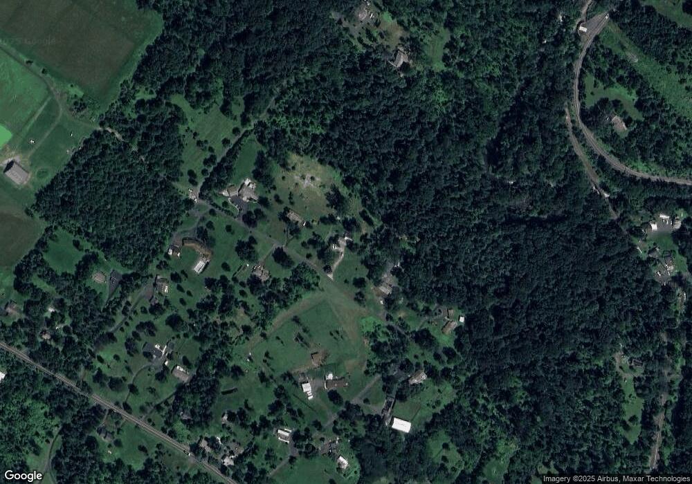
Map
Nearby Homes
- 941 Penns Park
- 1221 Creek Rd
- 2145 2nd St
- 925 Park Ave
- 1408 Old Jacksonville Rd
- 40 Hallowell Dr
- 1515 Sugar Bottom Rd
- 1390 Old Jacksonville Rd
- 31 Aspen Dr
- 214 Dove Ct
- 158 Grouse Cir
- 191 Cardinal Ct S
- 183 Spring Meadow Cir
- 147 Raven Ct
- 577 Sackettsford Rd
- 377 Spring Meadow Cir
- 148 Raven Ct
- 4697 Smith Rd
- 632 Durham Rd
- 495 Goldenrod Crossing W