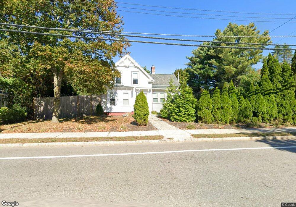
67 Central St Hudson, MA 01749
Estimated Value: $491,000 - $579,000
3
Beds
2
Baths
1,710
Sq Ft
$315/Sq Ft
Est. Value
About This Home
This home is located at 67 Central St, Hudson, MA 01749 and is currently estimated at $538,015, approximately $314 per square foot. 67 Central St is a home located in Middlesex County with nearby schools including David J. Quinn Middle School, Hudson High School, and First Steps Children's Center.
Ownership History
Date
Name
Owned For
Owner Type
Purchase Details
Closed on
Jul 17, 1986
Bought by
Longtine Brian P
Current Estimated Value
Create a Home Valuation Report for This Property
The Home Valuation Report is an in-depth analysis detailing your home's value as well as a comparison with similar homes in the area
Home Values in the Area
Average Home Value in this Area
Purchase History
| Date | Buyer | Sale Price | Title Company |
|---|---|---|---|
| Longtine Brian P | -- | -- |
Source: Public Records
Mortgage History
| Date | Status | Borrower | Loan Amount |
|---|---|---|---|
| Open | Longtine Brian P | $200,000 | |
| Closed | Longtine Brian P | $35,000 |
Source: Public Records
Tax History
| Year | Tax Paid | Tax Assessment Tax Assessment Total Assessment is a certain percentage of the fair market value that is determined by local assessors to be the total taxable value of land and additions on the property. | Land | Improvement |
|---|---|---|---|---|
| 2025 | $6,168 | $444,400 | $159,300 | $285,100 |
| 2024 | $5,831 | $416,500 | $144,800 | $271,700 |
| 2023 | $5,662 | $387,800 | $139,300 | $248,500 |
| 2022 | $5,186 | $327,000 | $126,600 | $200,400 |
| 2021 | $5,060 | $305,000 | $120,600 | $184,400 |
| 2020 | $4,719 | $284,100 | $118,200 | $165,900 |
| 2019 | $4,818 | $282,900 | $118,200 | $164,700 |
| 2018 | $4,470 | $255,400 | $112,600 | $142,800 |
| 2017 | $4,142 | $236,700 | $107,200 | $129,500 |
| 2016 | $4,010 | $231,900 | $107,200 | $124,700 |
| 2015 | $3,799 | $220,000 | $107,200 | $112,800 |
| 2014 | $3,615 | $207,500 | $94,000 | $113,500 |
Source: Public Records
Map
Nearby Homes
- 4 Linden St
- 2 Linden St
- 55 Cottage St
- 21 Gates Ave
- 136 Central St Unit C6
- 110 River St
- 21 Felton St
- 17 School St Unit C
- 17 School St Unit A
- 65 Main St
- 56 Park St
- 3 Gerry Dr Unit 15
- 1 Barracks Rd Unit 1
- 3 Highland Park Ave
- 168 River Rd E Unit Lot 15A
- 168 River Rd E Unit Lot 5
- 168 River Rd E Unit Lot 3
- 168 River Rd E Unit Lot 11
- 168 River Rd E Unit Lot 2
- 168 River Rd E Unit Lot 6
- 69 Central St
- 4 Irving St
- 65 Central St
- 66 Central St
- 64 Central St Unit 2
- 64 Central St
- 64 Central St Unit 1
- 70 Central St
- 73 Central St Unit 1
- 73 Central St
- 63 Central St
- 63 Central St Unit 2
- 22 Franklin St
- 22 Franklin St Unit 2
- 74 Central St
- 62 Central St
- 62 Central St Unit 64
- 18 Franklin St
- 61 Central St
- 61 Central St Unit 2