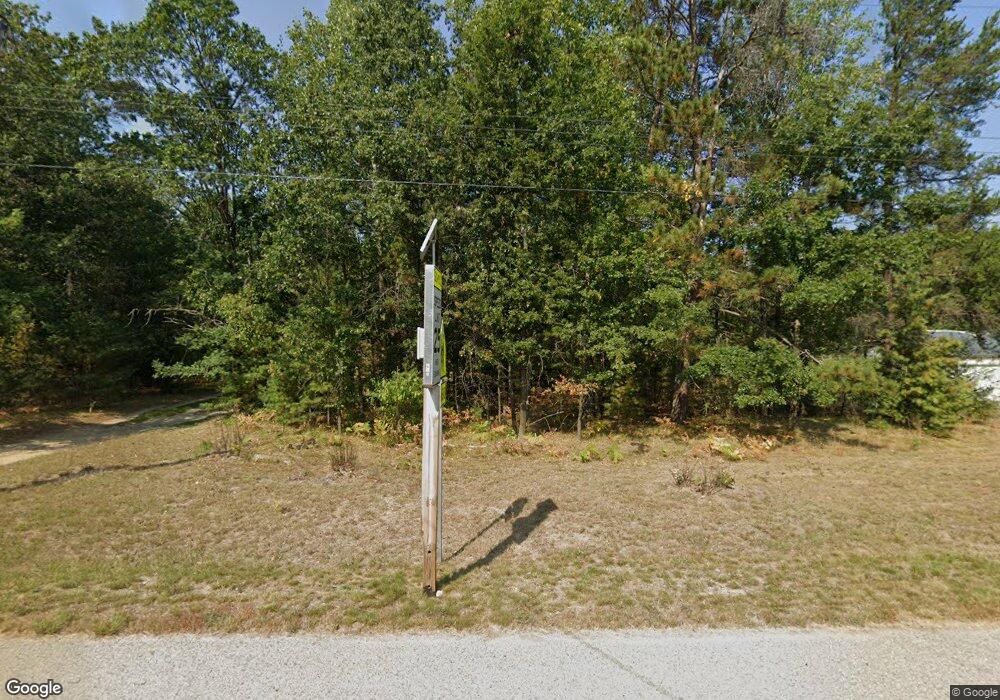
67 E Sunset Dr Roscommon, MI 48653
Estimated Value: $179,824 - $248,000
5
Beds
2
Baths
2,016
Sq Ft
$104/Sq Ft
Est. Value
About This Home
This home is located at 67 E Sunset Dr, Roscommon, MI 48653 and is currently estimated at $210,456, approximately $104 per square foot. 67 E Sunset Dr is a home located in Roscommon County with nearby schools including Roscommon Elementary School, Roscommon Middle School, and Roscommon High School.
Ownership History
Date
Name
Owned For
Owner Type
Purchase Details
Closed on
Dec 8, 2008
Sold by
Sharbar Jones Pamela F and Cantrell Pamela F
Bought by
Fisher Christopher and Balcom Mary Helen
Current Estimated Value
Home Financials for this Owner
Home Financials are based on the most recent Mortgage that was taken out on this home.
Original Mortgage
$16,000
Outstanding Balance
$10,616
Interest Rate
6.3%
Mortgage Type
Stand Alone Second
Estimated Equity
$199,840
Create a Home Valuation Report for This Property
The Home Valuation Report is an in-depth analysis detailing your home's value as well as a comparison with similar homes in the area
Home Values in the Area
Average Home Value in this Area
Purchase History
| Date | Buyer | Sale Price | Title Company |
|---|---|---|---|
| Fisher Christopher | $80,000 | Three Lakes Abstract & Title |
Source: Public Records
Mortgage History
| Date | Status | Borrower | Loan Amount |
|---|---|---|---|
| Open | Fisher Christopher | $16,000 | |
| Closed | Fisher Christopher | $61,600 |
Source: Public Records
Tax History
| Year | Tax Paid | Tax Assessment Tax Assessment Total Assessment is a certain percentage of the fair market value that is determined by local assessors to be the total taxable value of land and additions on the property. | Land | Improvement |
|---|---|---|---|---|
| 2025 | $355 | $92,700 | $0 | $0 |
| 2024 | $3 | $47,800 | $0 | $0 |
| 2023 | $332 | $47,800 | $0 | $0 |
| 2022 | $1,098 | $40,700 | $0 | $0 |
| 2021 | $1,043 | $39,100 | $0 | $0 |
| 2020 | $1,019 | $37,000 | $0 | $0 |
| 2019 | $956 | $33,500 | $0 | $0 |
| 2018 | $941 | $30,400 | $0 | $0 |
| 2016 | $935 | $30,500 | $0 | $0 |
| 2015 | -- | $30,100 | $0 | $0 |
| 2014 | -- | $31,100 | $0 | $0 |
| 2013 | -- | $30,500 | $0 | $0 |
Source: Public Records
Map
Nearby Homes
- 405 George St
- 11536 N Central Dr
- 11565 N Main St
- 0 N Main St Unit 20251028047
- 206 N Main St
- Parcel 13 N M-18
- Parcel 14 N M-18
- Lot 10 Fairway Dr
- Lot 9 Fairway Dr
- 38 S Eugene Dr
- 0 Beaver Creek Trail Unit 26302759
- 11269 Tanglewood Dr
- Silverbow Ln
- 1825 W Sunset Dr
- 11282 Steckert Bridge Rd
- 111 Anna Ave
- 11491 Pines Trail
- Apache Trail
- 20a Robinson Lake Rd
- 10775 Pocahontas Trail
- 35 W Sunset Dr
- 123 E Sunset Dr
- 147 E Sunset Dr
- 11054 Tranquil Trail
- 128 E Sunset Dr
- 110 E Sunset Dr
- 1 E Sunset Dr
- 349 E Sunset Dr
- 205 Brookside Ct
- 207 Brookside Ct
- 201 Brookside Ct
- 100 Fairview Dr
- 211 Brookside Ct
- 10950 Wheeler Rd
- 106 Fairview Dr
- 11150 Tranquil Trail
- 200 W Springside Ct
- 203 Springside Ct
- 208 Brookside Ct
- 10900 Wheeler Rd
