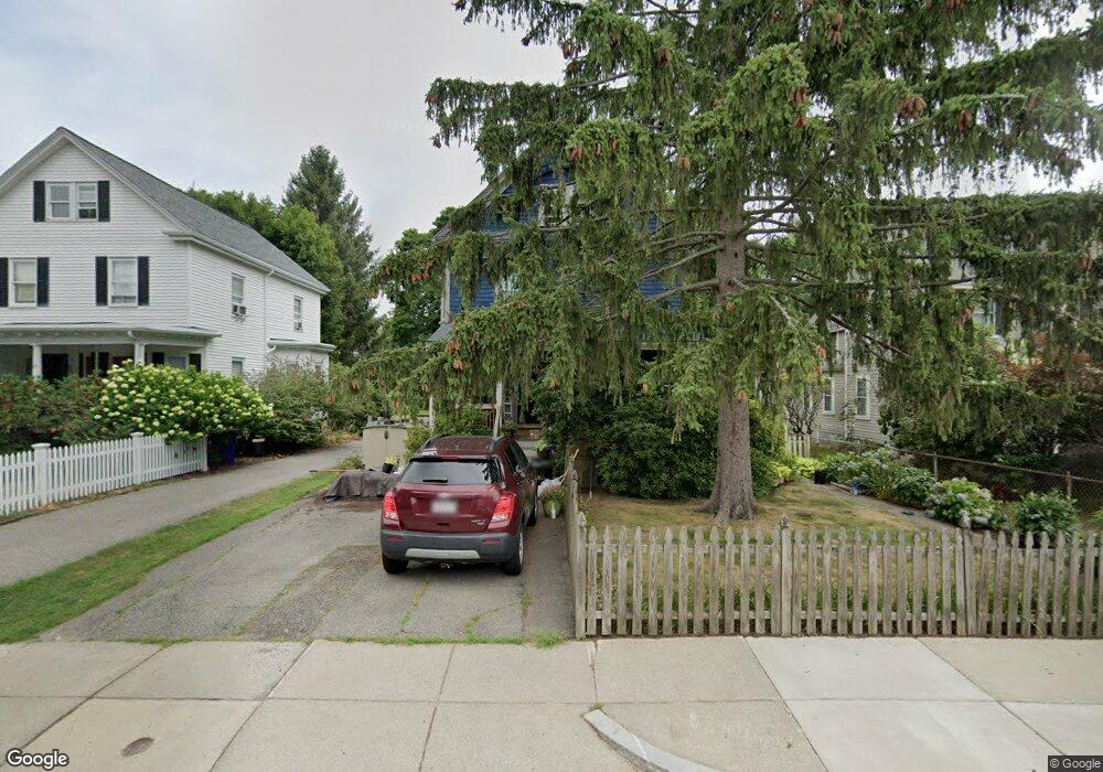
67 Maple St West Roxbury, MA 02132
West Roxbury NeighborhoodEstimated Value: $1,012,000 - $1,054,000
5
Beds
2
Baths
2,009
Sq Ft
$513/Sq Ft
Est. Value
About This Home
This home is located at 67 Maple St, West Roxbury, MA 02132 and is currently estimated at $1,031,596, approximately $513 per square foot. 67 Maple St is a home located in Suffolk County with nearby schools including Holy Name Parish School, St Theresa School, and The Roxbury Latin School.
Create a Home Valuation Report for This Property
The Home Valuation Report is an in-depth analysis detailing your home's value as well as a comparison with similar homes in the area
Home Values in the Area
Average Home Value in this Area
Tax History Compared to Growth
Tax History
| Year | Tax Paid | Tax Assessment Tax Assessment Total Assessment is a certain percentage of the fair market value that is determined by local assessors to be the total taxable value of land and additions on the property. | Land | Improvement |
|---|---|---|---|---|
| 2025 | $9,808 | $847,000 | $311,700 | $535,300 |
| 2024 | $8,709 | $799,000 | $307,700 | $491,300 |
| 2023 | $8,093 | $753,500 | $290,200 | $463,300 |
| 2022 | $7,453 | $685,000 | $263,800 | $421,200 |
| 2021 | $6,853 | $642,300 | $253,700 | $388,600 |
| 2020 | $6,581 | $623,200 | $228,800 | $394,400 |
| 2019 | $6,109 | $579,600 | $192,600 | $387,000 |
| 2018 | $5,843 | $557,500 | $192,600 | $364,900 |
| 2017 | $5,844 | $551,800 | $192,600 | $359,200 |
| 2016 | $5,677 | $516,100 | $192,600 | $323,500 |
| 2015 | $5,924 | $489,200 | $204,800 | $284,400 |
| 2014 | $5,806 | $461,500 | $204,800 | $256,700 |
Source: Public Records
Map
Nearby Homes
- 1789 Centre St Unit 202
- 55 Redlands Rd
- 37 Hastings St Unit 103
- 19 Pomfret St
- 37 Pomfret St
- 168 Maple St
- 110 Park St Unit 3
- 22 Bellevue St
- 416 Belgrade Ave Unit 25
- 10 Burwell Rd
- 76 Vermont St
- 76 Potomac St
- 539 Lagrange St
- 701 Vfw Pkwy
- 311 Belgrade Ave
- 150 Tyndale St Unit 2
- 425 Lagrange St Unit 203
- 37 Montvale St Unit 2
- 54 Sturges Rd
- 9 Carroll St