67 McCarter Point Rd Cushing, ME 04563
Estimated Value: $406,633 - $774,000
Studio
--
Bath
--
Sq Ft
850,727
Sq Ft Lot
About This Home
This home is located at 67 McCarter Point Rd, Cushing, ME 04563 and is currently estimated at $562,408. 67 McCarter Point Rd is a home with nearby schools including Cushing Community School and Oceanside High School East.
Ownership History
Date
Name
Owned For
Owner Type
Purchase Details
Closed on
Jun 13, 2024
Sold by
Starrs Kathleen E and Moore Gregory E
Bought by
Starrs Kathleen E
Current Estimated Value
Create a Home Valuation Report for This Property
The Home Valuation Report is an in-depth analysis detailing your home's value as well as a comparison with similar homes in the area
Home Values in the Area
Average Home Value in this Area
Purchase History
| Date | Buyer | Sale Price | Title Company |
|---|---|---|---|
| Starrs Kathleen E | -- | None Available | |
| Starrs Kathleen E | -- | None Available |
Source: Public Records
Tax History
| Year | Tax Paid | Tax Assessment Tax Assessment Total Assessment is a certain percentage of the fair market value that is determined by local assessors to be the total taxable value of land and additions on the property. | Land | Improvement |
|---|---|---|---|---|
| 2024 | $4,179 | $388,790 | $68,530 | $320,260 |
| 2023 | $4,221 | $263,840 | $75,400 | $188,440 |
| 2022 | $4,090 | $263,840 | $75,400 | $188,440 |
| 2021 | $4,116 | $263,840 | $75,400 | $188,440 |
| 2020 | $4,142 | $263,840 | $75,400 | $188,440 |
| 2019 | $3,852 | $263,840 | $75,400 | $188,440 |
| 2018 | $3,615 | $263,840 | $75,400 | $188,440 |
| 2017 | $3,430 | $263,840 | $75,400 | $188,440 |
| 2016 | $3,430 | $263,840 | $75,400 | $188,440 |
| 2015 | $3,245 | $263,840 | $75,400 | $188,440 |
| 2014 | $2,981 | $263,840 | $75,400 | $188,440 |
Source: Public Records
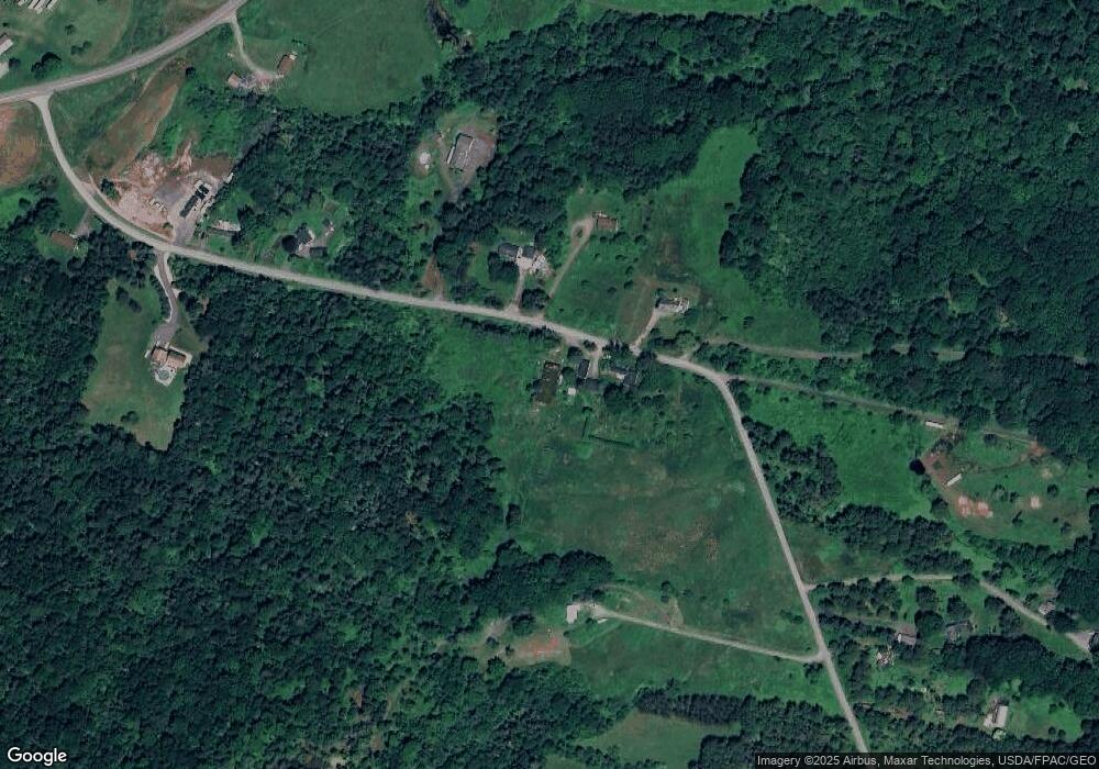
Map
Nearby Homes
- 76 Donahue Dr
- 36 Sunrise Terrace
- 52 Ledge Rd
- 580 Saint George Rd
- 360 Cushing Rd
- 482 Main St
- 16 Swan Ln
- 31 Booker St Unit 4
- 145 Main St
- 000 Atlantic Highway Map 4 Lot 24
- 56 Booker St
- 27 Lawrence Ave
- 52 Main St
- 92 Maurice Ave
- 26 Clark St
- 76 Fish St
- 102 Beechwood St
- 104 Beechwood St
- 117 Beechwood St
- 33 Rockinghorse Ln
- 62 McCarter Point Rd
- 58 McCarter Point Rd
- 25 Hynd Ln
- 50 McCarter Point Rd
- 36 McCarter Point Rd
- 20E-1 MacCormick Ln
- 28 McCarter Point Rd
- 21 McCarter Point Rd
- 929 River Rd
- 909 River Rd
- 104 McCarter Point Rd
- 114 McCarter Point Rd
- 110 McCarter Point Rd
- 923 River Rd
- 24 MacCormick Ln
- 13 McCarter Point Rd
- 926 River Rd
- 34 MacCormick Ln
- 128 McCarter Point Rd
- 934 River Rd
Your Personal Tour Guide
Ask me questions while you tour the home.