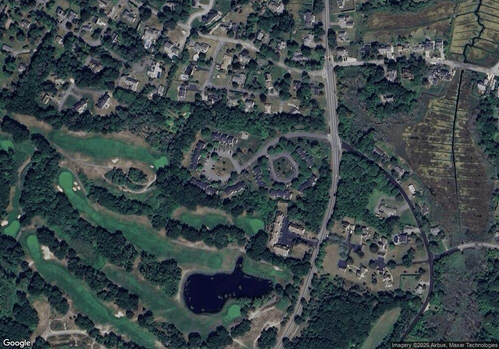
67 N River Rd Scituate, MA 02066
Estimated Value: $778,000 - $1,015,000
2
Beds
2
Baths
1,004
Sq Ft
$855/Sq Ft
Est. Value
About This Home
This home is located at 67 N River Rd, Scituate, MA 02066 and is currently estimated at $858,488, approximately $855 per square foot. 67 N River Rd is a home with nearby schools including Jenkins Elementary School, Lester J. Gates Middle School, and Scituate High School.
Create a Home Valuation Report for This Property
The Home Valuation Report is an in-depth analysis detailing your home's value as well as a comparison with similar homes in the area
Home Values in the Area
Average Home Value in this Area
Tax History
| Year | Tax Paid | Tax Assessment Tax Assessment Total Assessment is a certain percentage of the fair market value that is determined by local assessors to be the total taxable value of land and additions on the property. | Land | Improvement |
|---|---|---|---|---|
| 2025 | $6,710 | $671,700 | $507,200 | $164,500 |
| 2024 | $6,106 | $589,400 | $427,000 | $162,400 |
| 2023 | $5,535 | $541,600 | $388,200 | $153,400 |
| 2022 | $5,535 | $438,600 | $309,900 | $128,700 |
| 2021 | $5,455 | $409,200 | $295,200 | $114,000 |
| 2020 | $5,451 | $403,800 | $295,100 | $108,700 |
| 2019 | $5,405 | $393,400 | $289,300 | $104,100 |
| 2018 | $4,662 | $334,200 | $240,600 | $93,600 |
| 2017 | $4,519 | $320,700 | $231,000 | $89,700 |
| 2016 | $4,399 | $311,100 | $221,400 | $89,700 |
| 2015 | $3,950 | $301,500 | $211,800 | $89,700 |
Source: Public Records
Map
Nearby Homes
- 59 Greenfield Ln
- 24 Ridge Hill Rd
- 15 Bearce Ln
- 20 Meeting House Ln
- 50 First Parish Rd
- 34 Ladds Way
- 55 Crescent Ave
- 91 Front St Unit 106
- 21 Jenkins Place
- 14 Old Country Way Unit C
- 14 Old Country Way Unit B
- 19 Ford Place Unit 1
- 19 Ford Place Unit 2
- 25 Morton Place
- 46 Tilden Rd
- 33 Beaver Dam Rd
- 23 Sunset Rd
- 138 Judge Cushing Rd
- 21 Circuit Ave
- 98 Satuit Trail
Your Personal Tour Guide
Ask me questions while you tour the home.