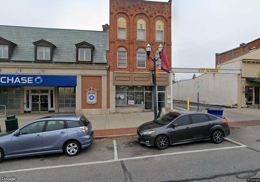
67 N Sandusky St Delaware, OH 43015
Estimated Value: $372,129
--
Bed
--
Bath
3,600
Sq Ft
$103/Sq Ft
Est. Value
About This Home
This home is located at 67 N Sandusky St, Delaware, OH 43015 and is currently estimated at $372,129, approximately $103 per square foot. 67 N Sandusky St is a home located in Delaware County with nearby schools including David Smith Elementary School, John C. Dempsey Middle School, and Rutherford B. Hayes High School.
Ownership History
Date
Name
Owned For
Owner Type
Purchase Details
Closed on
Mar 21, 2001
Sold by
Homelife Properties Ltd
Bought by
Rylee Ltd
Current Estimated Value
Home Financials for this Owner
Home Financials are based on the most recent Mortgage that was taken out on this home.
Original Mortgage
$150,000
Outstanding Balance
$54,660
Interest Rate
7.03%
Mortgage Type
Commercial
Estimated Equity
$317,469
Purchase Details
Closed on
Jun 5, 2000
Sold by
Bowling Richard K
Bought by
Homelife Properties Ltd
Create a Home Valuation Report for This Property
The Home Valuation Report is an in-depth analysis detailing your home's value as well as a comparison with similar homes in the area
Home Values in the Area
Average Home Value in this Area
Purchase History
| Date | Buyer | Sale Price | Title Company |
|---|---|---|---|
| Rylee Ltd | $150,000 | -- | |
| Homelife Properties Ltd | $113,000 | -- |
Source: Public Records
Mortgage History
| Date | Status | Borrower | Loan Amount |
|---|---|---|---|
| Open | Rylee Ltd | $150,000 |
Source: Public Records
Tax History Compared to Growth
Tax History
| Year | Tax Paid | Tax Assessment Tax Assessment Total Assessment is a certain percentage of the fair market value that is determined by local assessors to be the total taxable value of land and additions on the property. | Land | Improvement |
|---|---|---|---|---|
| 2024 | $3,556 | $64,120 | $5,880 | $58,240 |
| 2023 | $3,563 | $64,120 | $5,880 | $58,240 |
| 2022 | $3,350 | $51,590 | $5,880 | $45,710 |
| 2021 | $3,449 | $51,590 | $5,880 | $45,710 |
| 2020 | $3,531 | $51,590 | $5,880 | $45,710 |
| 2019 | $3,821 | $51,590 | $5,880 | $45,710 |
| 2018 | $3,907 | $51,590 | $5,880 | $45,710 |
| 2017 | $3,759 | $52,080 | $5,880 | $46,200 |
| 2016 | $3,617 | $52,080 | $5,880 | $46,200 |
| 2015 | $3,638 | $52,080 | $5,880 | $46,200 |
| 2014 | $3,725 | $52,080 | $5,880 | $46,200 |
| 2013 | $3,714 | $52,080 | $5,880 | $46,200 |
Source: Public Records
Map
Nearby Homes
- 40 W Winter St
- 54 Allenhurst Way
- 71 Allenhurst Way
- Wexford with Finished Lower Level Plan at Addison Farms - Addison Farms Townhomes
- 167 W Central Ave
- 234 N Sandusky St
- 299 N Sandusky St
- 297 N Franklin St
- 0 N Liberty St
- 41 Bernard Ave
- 34 Prospect St
- 337 N Washington St
- 297 W William St
- 0 Dildine Rd Unit 225015764
- 213 Lake St
- 61 Eaton St
- 312 W William St
- 325 W William St
- 60 Oak St
- 40 Chamberlain St
- 57 N Sandusky St
- 15 W Central Ave
- 53 N Sandusky St
- 51 N Sandusky St
- 21 W Central Ave
- 49 N Sandusky St
- 2 W Winter St
- 10 W Winter St
- 50 N Sandusky St
- 4 W Winter St
- 52 N Sandusky St
- 66 N Sandusky St
- 72 N Franklin St
- 27 W Central Ave
- 46 N Sandusky St
- 4 E Central Ave
- 84 N Sandusky St
- 76 N Franklin St
- 92 N Sandusky St Unit 301
- 92 N Sandusky St