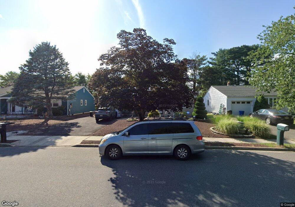
67 Nostrand Dr Toms River, NJ 08757
Estimated Value: $332,000 - $374,000
2
Beds
2
Baths
1,404
Sq Ft
$251/Sq Ft
Est. Value
About This Home
This home is located at 67 Nostrand Dr, Toms River, NJ 08757 and is currently estimated at $352,848, approximately $251 per square foot. 67 Nostrand Dr is a home located in Ocean County with nearby schools including Central Regional Middle School and Central Regional High School.
Ownership History
Date
Name
Owned For
Owner Type
Purchase Details
Closed on
Mar 28, 2022
Sold by
Clemente Linda J and Clemente Peter L
Bought by
Clemente Linda J and Clemente Peter L
Current Estimated Value
Purchase Details
Closed on
May 27, 2016
Sold by
Clemente Linda J and Clemente Ii Peter L
Bought by
Clemente Linda J and Clemente Peter L
Home Financials for this Owner
Home Financials are based on the most recent Mortgage that was taken out on this home.
Original Mortgage
$125,152
Interest Rate
3.45%
Mortgage Type
FHA
Purchase Details
Closed on
May 9, 2011
Sold by
Smith Douglas C and Smith Steven P
Bought by
Clemente Linda J and Clemente Ii Peter L
Home Financials for this Owner
Home Financials are based on the most recent Mortgage that was taken out on this home.
Original Mortgage
$100,747
Interest Rate
5.25%
Mortgage Type
FHA
Create a Home Valuation Report for This Property
The Home Valuation Report is an in-depth analysis detailing your home's value as well as a comparison with similar homes in the area
Home Values in the Area
Average Home Value in this Area
Purchase History
| Date | Buyer | Sale Price | Title Company |
|---|---|---|---|
| Clemente Linda J | -- | Schlisserman Arnold R | |
| Clemente Linda J | -- | -- | |
| Clemente Linda J | $105,000 | None Available |
Source: Public Records
Mortgage History
| Date | Status | Borrower | Loan Amount |
|---|---|---|---|
| Previous Owner | Clemente Linda J | $125,152 | |
| Previous Owner | Clemente Linda J | $100,747 |
Source: Public Records
Tax History Compared to Growth
Tax History
| Year | Tax Paid | Tax Assessment Tax Assessment Total Assessment is a certain percentage of the fair market value that is determined by local assessors to be the total taxable value of land and additions on the property. | Land | Improvement |
|---|---|---|---|---|
| 2025 | $3,221 | $133,600 | $37,500 | $96,100 |
| 2024 | $3,100 | $133,600 | $37,500 | $96,100 |
| 2023 | $3,042 | $133,600 | $37,500 | $96,100 |
| 2022 | $3,042 | $133,600 | $37,500 | $96,100 |
| 2021 | $2,722 | $133,600 | $37,500 | $96,100 |
| 2020 | $2,978 | $133,600 | $37,500 | $96,100 |
| 2019 | $2,895 | $133,600 | $37,500 | $96,100 |
| 2018 | $2,886 | $133,600 | $37,500 | $96,100 |
| 2017 | $2,779 | $133,600 | $37,500 | $96,100 |
| 2016 | $2,764 | $133,600 | $37,500 | $96,100 |
| 2015 | $2,688 | $133,600 | $37,500 | $96,100 |
| 2014 | $2,612 | $133,600 | $37,500 | $96,100 |
Source: Public Records
Map
Nearby Homes
- 9 Harmony Rd
- 128 Westport Dr
- 9 Walnut Unit D
- 8 Cedar St Unit D
- 23 Burlington Ct
- 12 Oakfield Rd
- 6 Westport Dr
- 33 Brookfield Ct
- 37 Brookfield Ct
- 48 Nostrand Dr
- 6 Fairfield Rd
- 34 Westport Dr
- 38 Whitmore Dr
- 32 Castleton Dr
- 55 Whitmore Dr
- 5 Corfu Ct
- 10 Littleton Rd
- 51 Winterton Dr
- 41 Nostrand Dr
- 14 Winterton Dr
- 69 Nostrand Dr
- 65 Nostrand Dr
- 71 Nostrand Dr
- 63 Nostrand Dr
- 111 Westport Dr
- 70 Nostrand Dr
- 61 Nostrand Dr
- 109 Westport Dr
- 72 Nostrand Dr
- 68 Nostrand Dr
- 107 Westport Dr
- 59 Nostrand Dr
- 73 Nostrand Dr
- 66 Nostrand Dr
- 2 Harmony Rd
- 105 Westport Dr
- 57 Nostrand Dr
- 17 Piermont Rd
- 74 Nostrand Dr
- 64 Nostrand Dr