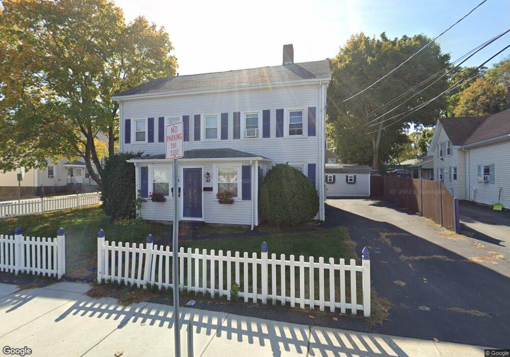
67 Oak St Unit 69 Waltham, MA 02453
South Side NeighborhoodEstimated Value: $924,483 - $976,000
4
Beds
3
Baths
2,181
Sq Ft
$440/Sq Ft
Est. Value
About This Home
This home is located at 67 Oak St Unit 69, Waltham, MA 02453 and is currently estimated at $960,621, approximately $440 per square foot. 67 Oak St Unit 69 is a home located in Middlesex County with nearby schools including Henry Whittemore Elementary School, John W. Mcdevitt Middle School, and Waltham Sr High School.
Ownership History
Date
Name
Owned For
Owner Type
Purchase Details
Closed on
Feb 1, 1984
Bought by
Arsenault Joseph G
Current Estimated Value
Create a Home Valuation Report for This Property
The Home Valuation Report is an in-depth analysis detailing your home's value as well as a comparison with similar homes in the area
Home Values in the Area
Average Home Value in this Area
Purchase History
| Date | Buyer | Sale Price | Title Company |
|---|---|---|---|
| Arsenault Joseph G | $84,000 | -- |
Source: Public Records
Mortgage History
| Date | Status | Borrower | Loan Amount |
|---|---|---|---|
| Open | Arsenault Joseph G | $170,000 | |
| Closed | Arsenault Joseph G | $162,000 | |
| Closed | Arsenault Joseph G | $161,783 |
Source: Public Records
Tax History Compared to Growth
Tax History
| Year | Tax Paid | Tax Assessment Tax Assessment Total Assessment is a certain percentage of the fair market value that is determined by local assessors to be the total taxable value of land and additions on the property. | Land | Improvement |
|---|---|---|---|---|
| 2025 | $7,684 | $782,500 | $362,300 | $420,200 |
| 2024 | $7,136 | $740,300 | $362,300 | $378,000 |
| 2023 | $7,156 | $693,400 | $330,000 | $363,400 |
| 2022 | $7,235 | $649,500 | $301,300 | $348,200 |
| 2021 | $6,793 | $600,100 | $272,600 | $327,500 |
| 2020 | $6,727 | $562,900 | $258,300 | $304,600 |
| 2019 | $6,379 | $503,900 | $255,700 | $248,200 |
| 2018 | $5,770 | $457,600 | $236,800 | $220,800 |
| 2017 | $5,476 | $436,000 | $215,200 | $220,800 |
| 2016 | $5,029 | $410,900 | $190,100 | $220,800 |
| 2015 | $4,849 | $369,300 | $186,500 | $182,800 |
Source: Public Records
Map
Nearby Homes
- 39 Clinton St Unit 2
- 39 Clinton St Unit 1
- 9 John St
- 28-32 Calvary St
- 308 Newton St Unit 1
- 312 Newton St Unit 1A
- 162 Myrtle St Unit 1
- 180 River St Unit 9
- 138 Myrtle St Unit 2
- 240 River St
- 176 River St
- 266-274 River St
- 81 Alder St
- 301 River St
- 42 Alder St
- 61 Hall St Unit 9
- 61 Hall St Unit 7
- 47 Alder St Unit 6
- 40 Myrtle St Unit 9
- 76 Taft Ave Unit 1
- 67 Oak St Unit 1
- 63 Oak St Unit B
- 63 Oak St
- 39 Cedar St
- 42 Cedar St Unit 42
- 68 Oak St Unit 68
- 57 Oak St
- 66 Oak St Unit 70
- 64 Oak St
- 64 Oak St Unit 1
- 64 Oak St
- 64 Oak St Unit B
- 41 Cedar St
- 76 Oak St
- 58-60 Oak St
- 58 Oak St Unit 60
- 46 Cedar St Unit 2
- 46 Cedar St Unit 1
- 46 Cedar St Unit 1,1
- 46 Cedar St Unit 2,2