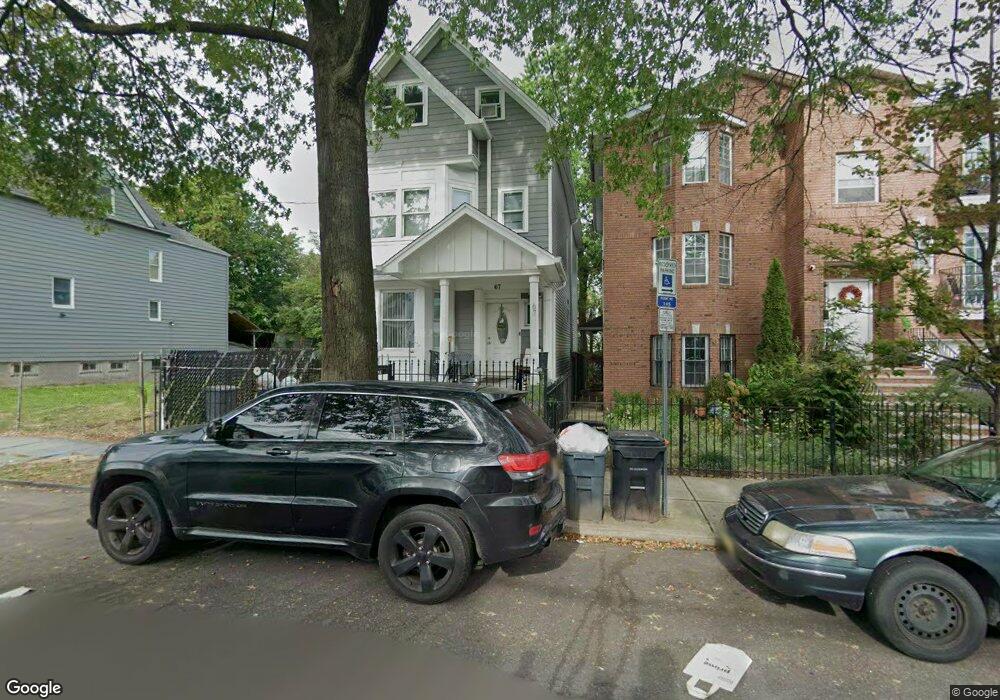
67 S 10th St Newark, NJ 07107
Fairmount NeighborhoodEstimated Value: $340,000 - $563,000
--
Bed
--
Bath
2,147
Sq Ft
$207/Sq Ft
Est. Value
About This Home
This home is located at 67 S 10th St, Newark, NJ 07107 and is currently estimated at $444,446, approximately $207 per square foot. 67 S 10th St is a home located in Essex County with nearby schools including Sir Isaac Newton Elementary School, Harriet Tubman School, and Camden Street Elementary School.
Ownership History
Date
Name
Owned For
Owner Type
Purchase Details
Closed on
Apr 20, 2009
Sold by
Hsbc Bank Usa National Association
Bought by
Pauta Pedro
Current Estimated Value
Purchase Details
Closed on
Dec 5, 2008
Sold by
Huerta Luz Mary
Bought by
Hsbc Bank Usa National Association
Purchase Details
Closed on
Mar 15, 2005
Sold by
Xtreme Properties Inc
Bought by
Huertas Luz Mery
Home Financials for this Owner
Home Financials are based on the most recent Mortgage that was taken out on this home.
Original Mortgage
$43,500
Interest Rate
5.61%
Mortgage Type
Stand Alone Second
Create a Home Valuation Report for This Property
The Home Valuation Report is an in-depth analysis detailing your home's value as well as a comparison with similar homes in the area
Home Values in the Area
Average Home Value in this Area
Purchase History
| Date | Buyer | Sale Price | Title Company |
|---|---|---|---|
| Pauta Pedro | $29,900 | Multiple | |
| Hsbc Bank Usa National Association | -- | None Available | |
| Huertas Luz Mery | $290,000 | -- |
Source: Public Records
Mortgage History
| Date | Status | Borrower | Loan Amount |
|---|---|---|---|
| Previous Owner | Huertas Luz Mery | $43,500 |
Source: Public Records
Tax History Compared to Growth
Tax History
| Year | Tax Paid | Tax Assessment Tax Assessment Total Assessment is a certain percentage of the fair market value that is determined by local assessors to be the total taxable value of land and additions on the property. | Land | Improvement |
|---|---|---|---|---|
| 2025 | $5,242 | $140,600 | $21,300 | $119,300 |
| 2024 | $5,242 | $140,600 | $21,300 | $119,300 |
| 2022 | $5,253 | $140,600 | $21,300 | $119,300 |
| 2021 | $5,250 | $140,600 | $21,300 | $119,300 |
| 2020 | $5,343 | $140,600 | $21,300 | $119,300 |
| 2019 | $5,288 | $140,600 | $21,300 | $119,300 |
| 2018 | $5,192 | $140,600 | $21,300 | $119,300 |
| 2017 | $5,005 | $140,600 | $21,300 | $119,300 |
| 2016 | $4,837 | $140,600 | $21,300 | $119,300 |
| 2015 | $4,652 | $140,600 | $21,300 | $119,300 |
| 2014 | $4,360 | $140,600 | $21,300 | $119,300 |
Source: Public Records
Map
Nearby Homes
- 63-65 S 10th St
- 63 S 10th St
- 40 9th Ave W Unit 44
- 40 9th Ave W
- 73 S 10th St
- 42 9th Ave
- 100 S 11th St
- 75 S 10th St
- 96 S 11th St Unit 98
- 102 S 11th St
- 104 S 11th St
- 77 S 10th St
- 77 S 10th St
- 77 S 10th St Unit 1
- 77 S 10th St Unit 1/2
- 46 9th Ave W Unit 48
- 77 State
- 72 S 10th St Unit 74
- 108 S 11th St
- 79 S 10th St