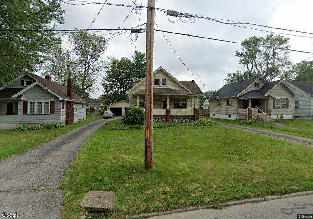
67 Sciota Ave Youngstown, OH 44512
Estimated Value: $157,000 - $168,000
3
Beds
1
Bath
1,968
Sq Ft
$82/Sq Ft
Est. Value
About This Home
This home is located at 67 Sciota Ave, Youngstown, OH 44512 and is currently estimated at $161,906, approximately $82 per square foot. 67 Sciota Ave is a home located in Mahoning County with nearby schools including Boardman Glenwood Junior High School, Boardman High School, and Youngstown Christian School.
Ownership History
Date
Name
Owned For
Owner Type
Purchase Details
Closed on
May 15, 2015
Sold by
Deeds Harriet F
Bought by
Siwiec Colin and Siwiec Aubrey
Current Estimated Value
Home Financials for this Owner
Home Financials are based on the most recent Mortgage that was taken out on this home.
Original Mortgage
$65,295
Outstanding Balance
$51,843
Interest Rate
4.87%
Mortgage Type
FHA
Estimated Equity
$110,063
Purchase Details
Closed on
Dec 27, 1967
Bought by
Thompson Harriet
Create a Home Valuation Report for This Property
The Home Valuation Report is an in-depth analysis detailing your home's value as well as a comparison with similar homes in the area
Home Values in the Area
Average Home Value in this Area
Purchase History
| Date | Buyer | Sale Price | Title Company |
|---|---|---|---|
| Siwiec Colin | $66,500 | Attorney | |
| Thompson Harriet | -- | -- |
Source: Public Records
Mortgage History
| Date | Status | Borrower | Loan Amount |
|---|---|---|---|
| Open | Siwiec Colin | $65,295 |
Source: Public Records
Tax History
| Year | Tax Paid | Tax Assessment Tax Assessment Total Assessment is a certain percentage of the fair market value that is determined by local assessors to be the total taxable value of land and additions on the property. | Land | Improvement |
|---|---|---|---|---|
| 2025 | $2,088 | $41,950 | $3,890 | $38,060 |
| 2024 | $2,137 | $41,950 | $3,890 | $38,060 |
| 2023 | $2,108 | $41,950 | $3,890 | $38,060 |
| 2022 | $1,744 | $26,450 | $3,870 | $22,580 |
| 2021 | $1,745 | $26,450 | $3,870 | $22,580 |
| 2020 | $1,754 | $26,450 | $3,870 | $22,580 |
| 2019 | $1,738 | $23,200 | $3,400 | $19,800 |
| 2018 | $1,473 | $23,200 | $3,400 | $19,800 |
| 2017 | $1,470 | $23,200 | $3,400 | $19,800 |
| 2016 | $1,814 | $28,360 | $3,690 | $24,670 |
| 2015 | $1,826 | $28,360 | $3,690 | $24,670 |
| 2014 | $1,234 | $28,360 | $3,690 | $24,670 |
| 2013 | $1,218 | $28,360 | $3,690 | $24,670 |
Source: Public Records
Map
Nearby Homes
- 165 Mathews Rd Unit A
- 191 Mathews Rd Unit A
- 5503 Southern Blvd
- 6511 Pembrooke Place
- 6001 Applecrest Dr
- 27 Erskine Ave
- 0 Mathews Rd Unit 5038026
- 96 Aylesboro Ave
- 123 Melrose Ave
- 162 Erskine Ave
- 321 Meadowbrook Ave Unit 323
- 31 Rockdale Ave
- 311 Brainard Dr
- 190 Melrose Ave
- 6785 Tanglewood Dr
- 7046 Southern Blvd
- 7120-7122 Glendale Ave
- 354 Ewing Rd
- 390 Ridgefield Ave
- 6180 Northlawn Ave
Your Personal Tour Guide
Ask me questions while you tour the home.