67 Stone Ridge Rd Franklin, MA 02038
Estimated Value: $494,164 - $532,000
3
Beds
3
Baths
1,621
Sq Ft
$314/Sq Ft
Est. Value
About This Home
This home is located at 67 Stone Ridge Rd, Franklin, MA 02038 and is currently estimated at $508,791, approximately $313 per square foot. 67 Stone Ridge Rd is a home located in Norfolk County with nearby schools including Oak Street Elementary School, Horace Mann Middle School, and Franklin High School.
Ownership History
Date
Name
Owned For
Owner Type
Purchase Details
Closed on
Mar 30, 2017
Sold by
67 Stoneridge Llc
Bought by
Demichele Vanessa
Current Estimated Value
Home Financials for this Owner
Home Financials are based on the most recent Mortgage that was taken out on this home.
Original Mortgage
$254,100
Outstanding Balance
$207,528
Interest Rate
4.15%
Mortgage Type
New Conventional
Estimated Equity
$301,263
Purchase Details
Closed on
Apr 27, 2016
Sold by
Gallant Joanne and Bank Of America Na
Bought by
67 Stoneridge Llc
Purchase Details
Closed on
Jun 5, 1998
Sold by
White Beatrice S
Bought by
White Beatrice S
Purchase Details
Closed on
May 20, 1988
Sold by
Alperin Tr Thomas M
Bought by
Oconnor Margaret
Create a Home Valuation Report for This Property
The Home Valuation Report is an in-depth analysis detailing your home's value as well as a comparison with similar homes in the area
Purchase History
| Date | Buyer | Sale Price | Title Company |
|---|---|---|---|
| Demichele Vanessa | $317,680 | -- | |
| 67 Stoneridge Llc | $205,000 | -- | |
| White Beatrice S | $72,500 | -- | |
| White Beatrice | $72,500 | -- | |
| White Beatrice S | $72,500 | -- | |
| Oconnor Margaret | $170,900 | -- |
Source: Public Records
Mortgage History
| Date | Status | Borrower | Loan Amount |
|---|---|---|---|
| Open | Demichele Vanessa | $254,100 | |
| Closed | 67 Stoneridge Llc | $0 |
Source: Public Records
Tax History
| Year | Tax Paid | Tax Assessment Tax Assessment Total Assessment is a certain percentage of the fair market value that is determined by local assessors to be the total taxable value of land and additions on the property. | Land | Improvement |
|---|---|---|---|---|
| 2025 | $5,117 | $440,400 | $0 | $440,400 |
| 2024 | $4,704 | $399,000 | $0 | $399,000 |
| 2023 | $4,541 | $361,000 | $0 | $361,000 |
| 2022 | $4,549 | $323,800 | $0 | $323,800 |
| 2021 | $4,336 | $296,000 | $0 | $296,000 |
| 2020 | $4,228 | $291,400 | $0 | $291,400 |
| 2019 | $4,202 | $286,600 | $0 | $286,600 |
| 2018 | $4,076 | $278,200 | $0 | $278,200 |
| 2017 | $3,743 | $256,700 | $0 | $256,700 |
| 2016 | $3,310 | $228,300 | $0 | $228,300 |
| 2015 | $3,376 | $227,500 | $0 | $227,500 |
| 2014 | $3,020 | $209,000 | $0 | $209,000 |
Source: Public Records
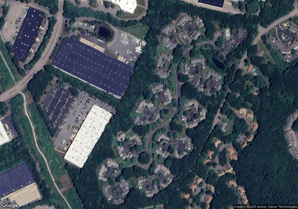
Map
Nearby Homes
- 99 Stone Ridge Rd
- 10 Emerson Way Unit 10
- 834-836 W Central St
- 29 Brookview Rd
- 25 Brookview Rd
- 8 Riverstone Way
- 602 Franklin Crossing Rd Unit 602
- 214 Conlyn Ave
- 1801 Franklin Crossing Rd Unit 1801
- 78 Highwood Dr
- 49 Lorraine Metcalf Rd
- 640 Maple Brook Rd
- 404 Oak St
- 163 W Central St
- 3003 Maple Brook Rd Unit 3003
- 120 Union St Unit 1
- 3 Washington St
- 6 Pine Knoll Rd
- 374-378 Union St
- 1 Washington St
- 68 Stone Ridge Rd
- 69 Stone Ridge Rd
- 70 Stone Ridge Rd
- 71 Stone Ridge Rd
- 72 Stone Ridge Rd
- 67 Stone Ridge Rd Unit 67
- 71 Stone Ridge Rd Unit 71
- 71 Stone Ridge Rd Unit 71,71
- 30 Stone Ridge Rd
- 32 Stone Ridge Rd
- 143 Stone Ridge Rd
- 32 Stone Ridge Rd Unit 32
- 79 Stone Ridge Rd
- 76 Stone Ridge Rd
- 77 Stone Ridge Rd
- 78 Stone Ridge Rd
- 80 Stone Ridge Rd
- 80 Stone Ridge Rd Unit 80
- 63 Stone Ridge Rd
- 64 Stone Ridge Rd
Your Personal Tour Guide
Ask me questions while you tour the home.