Estimated Value: $403,000 - $583,000
6
Beds
4
Baths
3,032
Sq Ft
$171/Sq Ft
Est. Value
About This Home
This home is located at 67 Thompson Rd, Keene, NH 03431 and is currently estimated at $517,109, approximately $170 per square foot. 67 Thompson Rd is a home with nearby schools including Franklin Elementary School, Keene High School, and Gathering Waters Charter School (E).
Ownership History
Date
Name
Owned For
Owner Type
Purchase Details
Closed on
Feb 26, 2010
Sold by
Gardner Gregory H and Gardner Jeannette P
Bought by
Pierannunzi Jessica L and Pierannunzi Francis E
Current Estimated Value
Home Financials for this Owner
Home Financials are based on the most recent Mortgage that was taken out on this home.
Original Mortgage
$140,000
Interest Rate
5.11%
Mortgage Type
Purchase Money Mortgage
Create a Home Valuation Report for This Property
The Home Valuation Report is an in-depth analysis detailing your home's value as well as a comparison with similar homes in the area
Purchase History
| Date | Buyer | Sale Price | Title Company |
|---|---|---|---|
| Pierannunzi Jessica L | $175,000 | -- | |
| Pierannunzi Jessica L | $175,000 | -- |
Source: Public Records
Mortgage History
| Date | Status | Borrower | Loan Amount |
|---|---|---|---|
| Open | Pierannunzi Jessica L | $212,000 | |
| Closed | Pierannunzi Jessica L | $30,000 | |
| Closed | Pierannunzi Jessica L | $140,000 |
Source: Public Records
Tax History
| Year | Tax Paid | Tax Assessment Tax Assessment Total Assessment is a certain percentage of the fair market value that is determined by local assessors to be the total taxable value of land and additions on the property. | Land | Improvement |
|---|---|---|---|---|
| 2024 | $10,923 | $330,290 | $50,790 | $279,500 |
| 2023 | $10,366 | $325,070 | $45,570 | $279,500 |
| 2022 | $10,085 | $325,020 | $45,520 | $279,500 |
| 2021 | $10,165 | $324,960 | $45,460 | $279,500 |
| 2020 | $8,860 | $237,660 | $49,560 | $188,100 |
| 2019 | $8,930 | $237,510 | $49,510 | $188,000 |
| 2018 | $8,816 | $237,490 | $49,490 | $188,000 |
| 2017 | $8,835 | $237,370 | $49,370 | $188,000 |
| 2016 | $8,638 | $237,370 | $49,370 | $188,000 |
| 2015 | $9,132 | $265,400 | $75,400 | $190,000 |
Source: Public Records
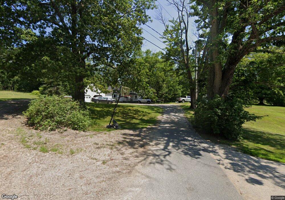
Map
Nearby Homes
- 0 Optical Ave Unit 3,4,5
- 126 Monadnock Hwy
- 77 Monadnock Hwy
- 130 Eastern Ave
- 471 Chapman Rd
- 391 Water St
- 35 Foster St
- 131 Marlboro St
- 431 Main St
- 89 Main St
- 0 Peg Shop Rd Unit 22-1
- 20 Ling St
- 37 Church St Unit 13
- 13 Brook St
- 00 Monadnock Hwy Unit 10
- 164 Main St
- 9 Rule St
- 11 Walnut St
- 312 Perk St
- 304 Perk St
- 60 Thompson Rd
- 27 Thompson Rd
- 17 Thompson Rd
- 217 Chapman Rd
- 660 Marlboro Rd
- 700 Marlboro St
- 659 Marlboro Rd
- 00 Graves Rd
- 00 Graves Rd
- 0 Marlboro St Unit 1 4896727
- 229 Chapman Rd
- 711 Marlboro St
- 715 Marlboro Rd
- 247 Chapman Rd
- 640 Marlboro St
- 640 Marlboro Rd
- 640 Marlboro St Unit 1
- 14 Graves Rd
- 221 Chapman Rd
- 211 Chapman Rd
Your Personal Tour Guide
Ask me questions while you tour the home.