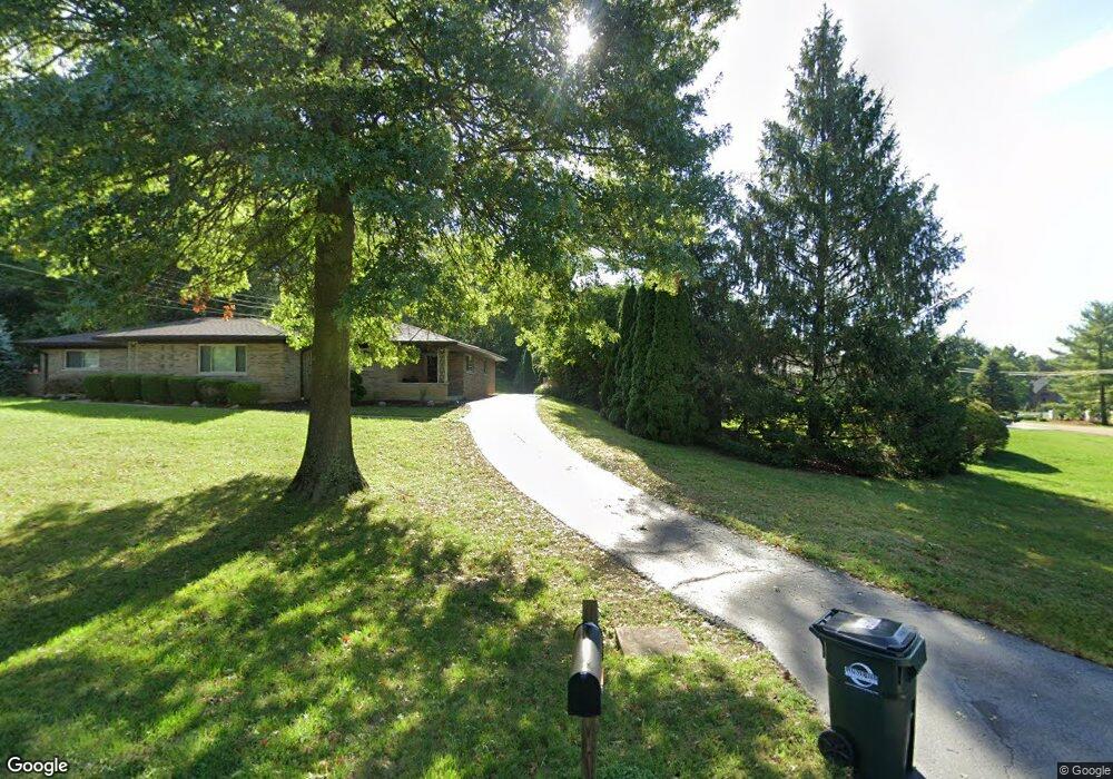
670 Cedar Knolls Ct Cincinnati, OH 45230
Salem Heights NeighborhoodEstimated Value: $140,000 - $373,000
--
Bed
--
Bath
--
Sq Ft
1,307
Sq Ft Lot
About This Home
This home is located at 670 Cedar Knolls Ct, Cincinnati, OH 45230 and is currently estimated at $219,333. 670 Cedar Knolls Ct is a home located in Hamilton County with nearby schools including Maddux Elementary School, Nagel Middle School, and Anderson High School.
Ownership History
Date
Name
Owned For
Owner Type
Purchase Details
Closed on
Aug 16, 2013
Sold by
Kelley Ann G
Bought by
Whalen Warren and Whalen Susan
Current Estimated Value
Home Financials for this Owner
Home Financials are based on the most recent Mortgage that was taken out on this home.
Original Mortgage
$202,500
Interest Rate
2.99%
Mortgage Type
Adjustable Rate Mortgage/ARM
Purchase Details
Closed on
Oct 15, 2003
Sold by
Monaco Thomas G and Monaco Marie Ann
Bought by
Kelley Edward and Kelley Ann G
Home Financials for this Owner
Home Financials are based on the most recent Mortgage that was taken out on this home.
Original Mortgage
$208,800
Interest Rate
4.25%
Mortgage Type
Unknown
Create a Home Valuation Report for This Property
The Home Valuation Report is an in-depth analysis detailing your home's value as well as a comparison with similar homes in the area
Home Values in the Area
Average Home Value in this Area
Purchase History
| Date | Buyer | Sale Price | Title Company |
|---|---|---|---|
| Whalen Warren | $270,000 | Attorney | |
| Kelley Edward | $275,000 | -- |
Source: Public Records
Mortgage History
| Date | Status | Borrower | Loan Amount |
|---|---|---|---|
| Previous Owner | Whalen Warren | $202,500 | |
| Previous Owner | Kelley Edward | $208,800 |
Source: Public Records
Tax History Compared to Growth
Tax History
| Year | Tax Paid | Tax Assessment Tax Assessment Total Assessment is a certain percentage of the fair market value that is determined by local assessors to be the total taxable value of land and additions on the property. | Land | Improvement |
|---|---|---|---|---|
| 2024 | $11 | $175 | $175 | -- |
| 2023 | $11 | $175 | $175 | $0 |
| 2022 | $13 | $200 | $200 | $0 |
| 2021 | $13 | $200 | $200 | $0 |
| 2020 | $13 | $200 | $200 | $0 |
| 2019 | $13 | $175 | $175 | $0 |
| 2018 | $12 | $175 | $175 | $0 |
| 2017 | $12 | $175 | $175 | $0 |
| 2016 | $13 | $186 | $186 | $0 |
| 2015 | $12 | $186 | $186 | $0 |
| 2014 | $12 | $186 | $186 | $0 |
| 2013 | $11 | $175 | $175 | $0 |
Source: Public Records
Map
Nearby Homes
- 929 Birney Ln
- 6984 Shadow Oak Dr
- 6960 Shadow Oak Dr
- 6991 Shadow Oak Dr
- 6956 Shadow Oak Dr
- 6690 Hitchingpost Ln
- 6624 Hitching Post Ln
- 1059 4 Mile Rd
- 1067 Baytree Ct
- 6574 Windyhills Rd
- 1039 Azure Ct
- 1150 Brooke Ave
- 966 Sutton Rd
- 1163 Linden Hill Ln
- 6811 Sunray St
- 1138 Wilshire Ave
- 7029 Stonington Rd
- a Salem Rd
- 1145 Ayershire Ave
- 1184 Linden Hill Ln
- 660 Watch Point Dr
- 680 Cedar Knolls Ct
- 650 Watch Point Dr
- 684 Cedar Knolls Ct
- 0 Watch Point Dr Unit 1766775
- 40 Watch Point Dr Unit 40
- 600 Watch Point Dr
- 688 Cedar Knolls Ct
- 644 Watch Point Dr
- 665 Watch Point Dr
- 667 Cedar Knolls Ct
- 705 Birney Ln
- 675 Cedar Knolls Ct
- 649 Watch Point Dr
- 683 Cedar Knolls Ct
- 664 Watch Point Dr
- 698 Cedar Knolls Ct
- 669 Watch Point Dr
- 670 Watch Point Dr
- 638 Watch Point Dr