Estimated Value: $757,000 - $790,144
5
Beds
4
Baths
8,040
Sq Ft
$96/Sq Ft
Est. Value
About This Home
This home is located at 670 S Fork Rd, Luray, VA 22835 and is currently estimated at $773,572, approximately $96 per square foot. 670 S Fork Rd is a home located in Page County.
Ownership History
Date
Name
Owned For
Owner Type
Purchase Details
Closed on
Jun 17, 2021
Sold by
Zirkle Carroll L and Zirkle Emma J
Bought by
Tobias Tipton M and Truxess Jane H
Current Estimated Value
Home Financials for this Owner
Home Financials are based on the most recent Mortgage that was taken out on this home.
Original Mortgage
$440,000
Outstanding Balance
$398,365
Interest Rate
2.9%
Mortgage Type
Construction
Estimated Equity
$375,207
Purchase Details
Closed on
Apr 8, 2005
Create a Home Valuation Report for This Property
The Home Valuation Report is an in-depth analysis detailing your home's value as well as a comparison with similar homes in the area
Home Values in the Area
Average Home Value in this Area
Purchase History
| Date | Buyer | Sale Price | Title Company |
|---|---|---|---|
| Tobias Tipton M | $590,000 | -- | |
| -- | $400,000 | -- |
Source: Public Records
Mortgage History
| Date | Status | Borrower | Loan Amount |
|---|---|---|---|
| Open | Tobias Tipton M | $440,000 |
Source: Public Records
Tax History Compared to Growth
Tax History
| Year | Tax Paid | Tax Assessment Tax Assessment Total Assessment is a certain percentage of the fair market value that is determined by local assessors to be the total taxable value of land and additions on the property. | Land | Improvement |
|---|---|---|---|---|
| 2025 | $4,318 | $597,500 | $96,100 | $501,400 |
| 2024 | $4,318 | $597,500 | $96,100 | $501,400 |
| 2023 | $4,116 | $542,200 | $96,100 | $446,100 |
| 2022 | $3,958 | $542,200 | $96,100 | $446,100 |
| 2021 | $3,937 | $539,300 | $96,100 | $443,200 |
| 2020 | $3,760 | $515,100 | $81,100 | $434,000 |
| 2019 | $3,612 | $494,800 | $81,100 | $413,700 |
| 2018 | $3,464 | $494,800 | $81,100 | $413,700 |
| 2017 | $3,266 | $494,800 | $81,100 | $413,700 |
| 2016 | $3,266 | $494,800 | $81,100 | $413,700 |
| 2015 | $3,242 | $506,500 | $76,100 | $430,400 |
| 2014 | $3,242 | $506,500 | $76,100 | $430,400 |
Source: Public Records
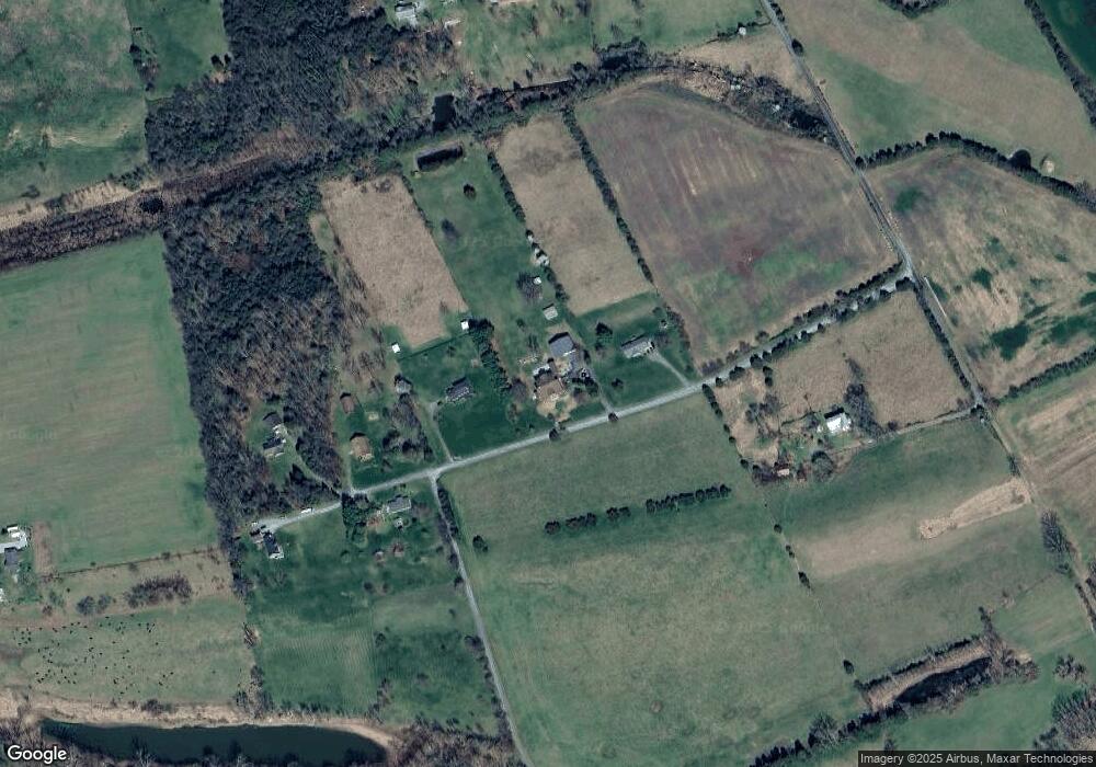
Map
Nearby Homes
- 501 S Fork Rd
- 0 Greenway Ln Unit VAPA2005070
- 0 Greenway Ln Unit VAPA2005068
- 0 Greenway Ln Unit VAPA2003942
- D47 Greenway Ln
- Lot B37 Parkview Dr
- 213 Debra Jill Dr
- 0 Oak Ln Unit VAPA2005118
- 0 Oak Ln Unit VAPA2004196
- 0 Oak Ln Unit VAPA2003084
- 563 Park View Dr
- 0 Egypt Bend Rd Unit VAPA2002970
- 315 Ganders Dr
- 10 Shuler Ln
- 9 Shuler Ln
- 4 Shuler Ln
- 259 Log Home Place
- 1955 Old Stanley Rd
- 0 Kauffmans Mill Rd
- Lot 8 Kauffmans Mill Rd