6703 Brooklyn Bridge Rd Laurel, MD 20707
West Laurel NeighborhoodEstimated Value: $544,000 - $594,815
Studio
2
Baths
1,960
Sq Ft
$290/Sq Ft
Est. Value
About This Home
This home is located at 6703 Brooklyn Bridge Rd, Laurel, MD 20707 and is currently estimated at $568,454, approximately $290 per square foot. 6703 Brooklyn Bridge Rd is a home located in Prince George's County with nearby schools including Bond Mill Elementary, Martin Luther King Jr. Middle School, and Laurel High School.
Ownership History
Date
Name
Owned For
Owner Type
Purchase Details
Closed on
Jul 29, 2022
Sold by
Tharpe Gary W
Bought by
Martins Brian James and Martins Emily
Current Estimated Value
Home Financials for this Owner
Home Financials are based on the most recent Mortgage that was taken out on this home.
Original Mortgage
$441,000
Outstanding Balance
$421,693
Interest Rate
5.7%
Mortgage Type
New Conventional
Estimated Equity
$146,761
Purchase Details
Closed on
Mar 1, 2019
Sold by
Tharpe Robert W and Tharpe Gary W
Bought by
Tharpe Gary W
Create a Home Valuation Report for This Property
The Home Valuation Report is an in-depth analysis detailing your home's value as well as a comparison with similar homes in the area
Home Values in the Area
Average Home Value in this Area
Purchase History
| Date | Buyer | Sale Price | Title Company |
|---|---|---|---|
| Martins Brian James | $490,000 | Fidelity National Title | |
| Tharpe Gary W | -- | None Available |
Source: Public Records
Mortgage History
| Date | Status | Borrower | Loan Amount |
|---|---|---|---|
| Open | Martins Brian James | $441,000 |
Source: Public Records
Tax History
| Year | Tax Paid | Tax Assessment Tax Assessment Total Assessment is a certain percentage of the fair market value that is determined by local assessors to be the total taxable value of land and additions on the property. | Land | Improvement |
|---|---|---|---|---|
| 2025 | $5,845 | $478,400 | $138,900 | $339,500 |
| 2024 | $5,845 | $412,700 | -- | -- |
| 2023 | $5,554 | $347,000 | $0 | $0 |
| 2022 | $4,578 | $281,300 | $103,900 | $177,400 |
| 2020 | $11,937 | $374,867 | $0 | $0 |
| 2019 | $4,738 | $330,900 | $101,900 | $229,000 |
| 2018 | $7,672 | $527,133 | $0 | $0 |
| 2017 | $7,568 | $501,867 | $0 | $0 |
| 2016 | -- | $482,500 | $0 | $0 |
| 2015 | $3,520 | $477,167 | $0 | $0 |
| 2014 | $3,520 | $471,733 | $0 | $0 |
Source: Public Records
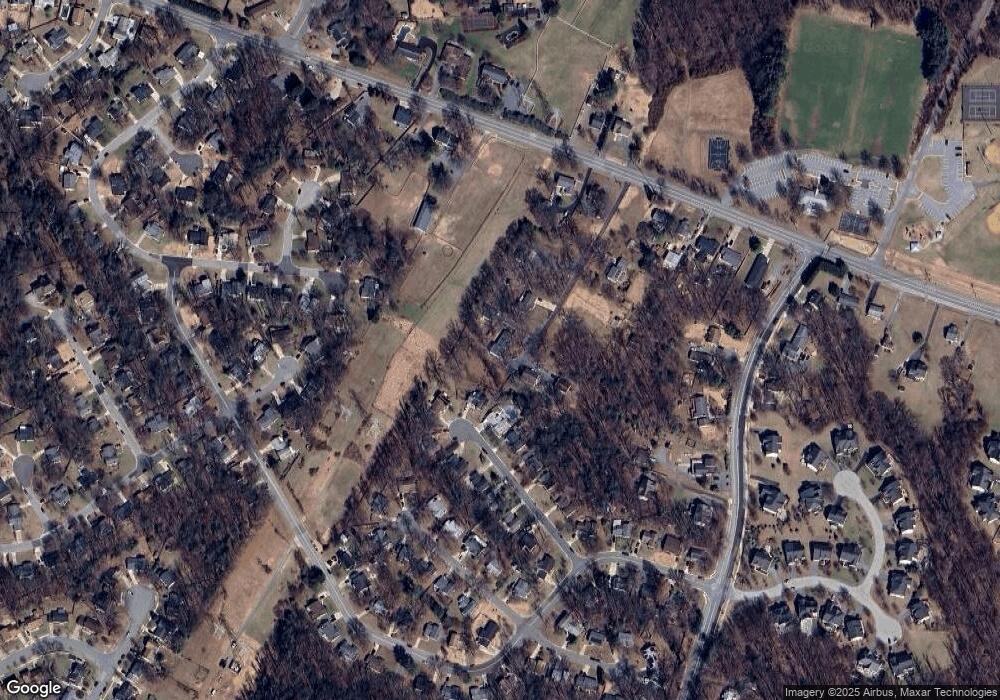
Map
Nearby Homes
- 6201 Goodman Rd
- 7106 Donston Dr
- 7209 Brooklyn Bridge Rd
- 16140 Kenny Rd
- 7004 Fitzpatrick Dr
- 7019 Fitzpatrick Dr
- 6003 Windham Rd
- 7002 Scotch Dr
- 15712 Dorset Rd Unit 104
- 15611 Riding Stable Rd
- 6918 Scotch Dr
- 14005 Barkham Ct
- 15708 Dorset Rd Unit 202
- 15706 Dorset Rd Unit 102
- 6504 Walker Branch Dr
- 15603 Dorset Rd Unit 101
- 15743 Millbrook Ln
- 11375 Harding Rd
- 7620 S Arbory Ln
- 8040 Sandy Spring Rd
- 6703 Brooklyn Bridge Rd
- 6703 Brooklyn Bridge Rd
- 6703 Brooklyn Bridge Rd
- 6703 Brooklyn Bridge Rd Unit A
- 6709 Brooklyn Bridge Rd
- 6619 Brooklyn Bridge Rd
- 6619, 6703 & 6709 Brooklyn Bridge Rd
- 6617 Brooklyn Bridge Rd
- 6602 Carleton Ct
- 6604 Carleton Ct
- 6600 Carleton Ct
- 6606 Carleton Ct
- 6608 Carleton Ct
- 6601 Carleton Ct
- 6603 Carleton Ct
- 6605 Carleton Ct
- 6705 Brooklyn Bridge Rd
- 6610 Carleton Ct
- 6412 Forest Mill Ln
- 6607 Carleton Ct
Your Personal Tour Guide
Ask me questions while you tour the home.