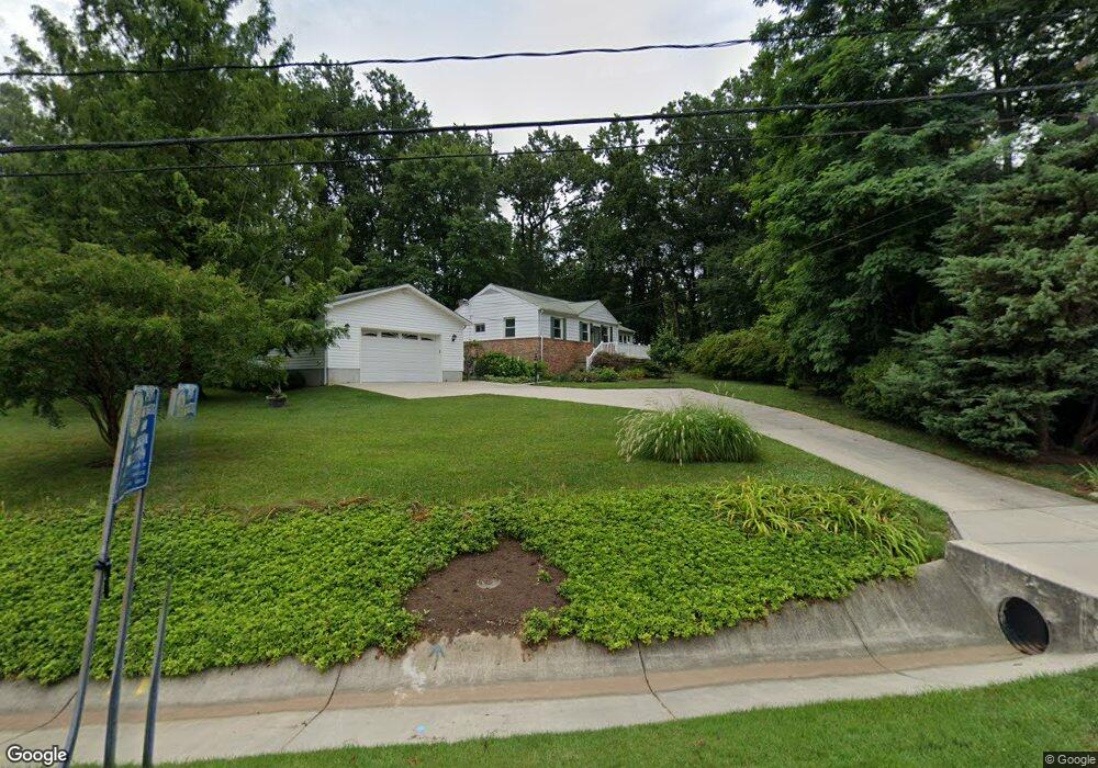
6705 Orem Dr Laurel, MD 20707
West Laurel NeighborhoodEstimated Value: $379,000 - $514,000
Studio
2
Baths
1,438
Sq Ft
$321/Sq Ft
Est. Value
About This Home
This home is located at 6705 Orem Dr, Laurel, MD 20707 and is currently estimated at $461,220, approximately $320 per square foot. 6705 Orem Dr is a home located in Prince George's County with nearby schools including Bond Mill Elementary, Martin Luther King Jr. Middle School, and Laurel High School.
Ownership History
Date
Name
Owned For
Owner Type
Purchase Details
Closed on
Apr 27, 2022
Sold by
Timothy Trimble
Bought by
Trimble Living Trust
Current Estimated Value
Purchase Details
Closed on
Jul 1, 2002
Sold by
King Terry M
Bought by
Trimble Timothy and Trimble Gail K
Purchase Details
Closed on
Jun 9, 1997
Sold by
Howe Joanne A
Bought by
King Terry M and King Laura M
Purchase Details
Closed on
Oct 21, 1971
Sold by
Mcgowan Theodore
Bought by
Howe Joanne A
Create a Home Valuation Report for This Property
The Home Valuation Report is an in-depth analysis detailing your home's value as well as a comparison with similar homes in the area
Home Values in the Area
Average Home Value in this Area
Purchase History
| Date | Buyer | Sale Price | Title Company |
|---|---|---|---|
| Trimble Living Trust | -- | Downs Thomas P | |
| Trimble Timothy | $195,000 | -- | |
| King Terry M | $130,000 | -- | |
| Howe Joanne A | $26,000 | -- |
Source: Public Records
Tax History
| Year | Tax Paid | Tax Assessment Tax Assessment Total Assessment is a certain percentage of the fair market value that is determined by local assessors to be the total taxable value of land and additions on the property. | Land | Improvement |
|---|---|---|---|---|
| 2025 | $4,359 | $375,800 | $124,200 | $251,600 |
| 2024 | $4,359 | $363,967 | -- | -- |
| 2023 | $4,236 | $352,133 | $0 | $0 |
| 2022 | $4,077 | $340,300 | $104,200 | $236,100 |
| 2021 | $8,155 | $323,200 | $0 | $0 |
| 2020 | $7,591 | $306,100 | $0 | $0 |
| 2019 | $4,138 | $289,000 | $102,100 | $186,900 |
| 2018 | $3,596 | $288,033 | $0 | $0 |
| 2017 | $3,553 | $287,067 | $0 | $0 |
| 2016 | -- | $286,100 | $0 | $0 |
| 2015 | $3,104 | $279,400 | $0 | $0 |
| 2014 | $3,104 | $272,700 | $0 | $0 |
Source: Public Records
Map
Nearby Homes
- 7004 Fitzpatrick Dr
- 7019 Fitzpatrick Dr
- 7106 Donston Dr
- 16140 Kenny Rd
- 6201 Goodman Rd
- 7209 Brooklyn Bridge Rd
- 7002 Scotch Dr
- 6918 Scotch Dr
- 15712 Dorset Rd Unit 104
- 15708 Dorset Rd Unit 202
- 6504 Walker Branch Dr
- 15706 Dorset Rd Unit 102
- 6003 Windham Rd
- 15603 Dorset Rd Unit 101
- 14005 Barkham Ct
- 15743 Millbrook Ln
- 15611 Riding Stable Rd
- 7620 S Arbory Ln
- 15046 Cherrywood Dr
- 7646 S Arbory Ln
- 6707 Orem Dr
- 16005 Bond Mill Rd
- 6711 Park Hall Dr
- 6709 Park Hall Dr
- 16001 Bond Mill Rd
- 6709 Orem Dr
- 6713 Park Hall Dr
- 6707 Park Hall Dr
- 16105 Bond Mill Rd
- 16101 Bond Mill Rd
- 6715 Park Hall Dr
- 6708 Orem Dr
- 6711 Orem Dr
- 6705 Park Hall Dr
- 15819 Wayne Ave
- 6700 Park Hall Dr
- 6710 Orem Dr
- 6703 Park Hall Dr
- 15820 Wayne Ave
- 15820 Wayne Ave Unit A
Your Personal Tour Guide
Ask me questions while you tour the home.