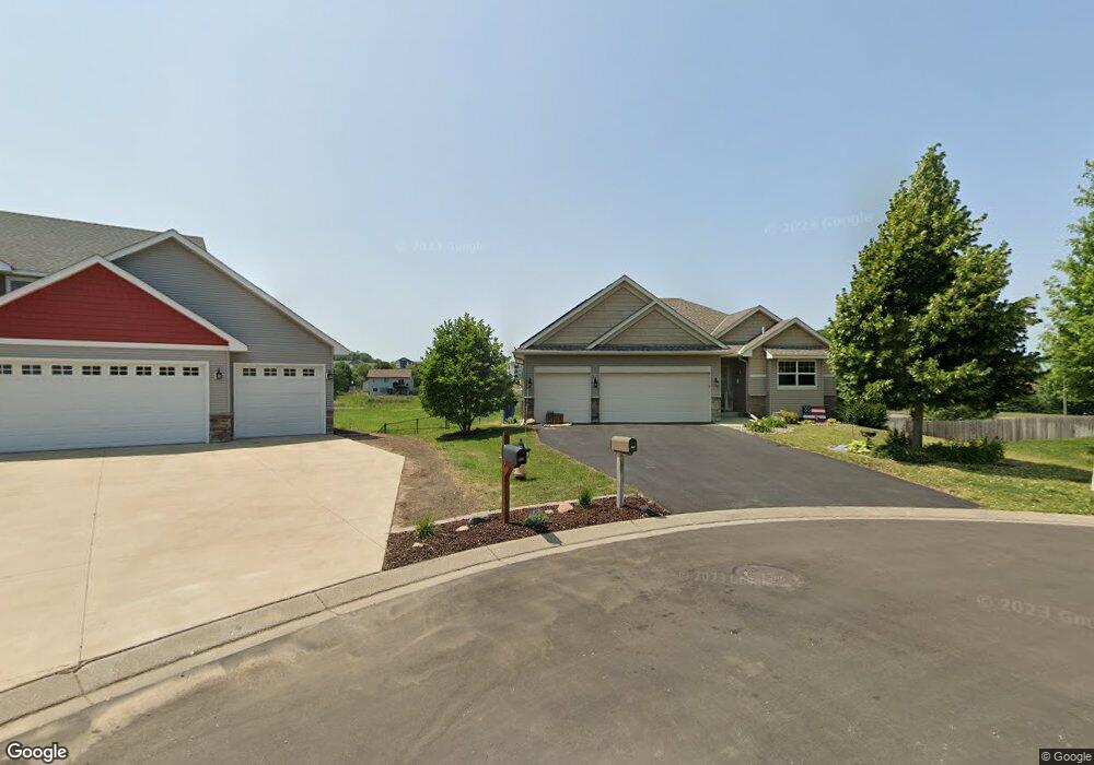
671 Tori Ct Shakopee, MN 55379
Estimated Value: $450,000 - $506,000
3
Beds
3
Baths
1,407
Sq Ft
$339/Sq Ft
Est. Value
About This Home
This home is located at 671 Tori Ct, Shakopee, MN 55379 and is currently estimated at $476,418, approximately $338 per square foot. 671 Tori Ct is a home located in Scott County with nearby schools including Jackson Elementary School, East Middle School, and Shakopee Senior High School.
Ownership History
Date
Name
Owned For
Owner Type
Purchase Details
Closed on
Dec 29, 2011
Sold by
Key Land Homes
Bought by
Heitkamp Joan L and Heitkamp Kent D
Current Estimated Value
Home Financials for this Owner
Home Financials are based on the most recent Mortgage that was taken out on this home.
Original Mortgage
$177,800
Outstanding Balance
$121,836
Interest Rate
3.97%
Mortgage Type
New Conventional
Estimated Equity
$354,582
Purchase Details
Closed on
Apr 12, 2006
Sold by
Tollefson Development Inc
Bought by
Mesa Properties Inc
Create a Home Valuation Report for This Property
The Home Valuation Report is an in-depth analysis detailing your home's value as well as a comparison with similar homes in the area
Home Values in the Area
Average Home Value in this Area
Purchase History
| Date | Buyer | Sale Price | Title Company |
|---|---|---|---|
| Heitkamp Joan L | $276,449 | -- | |
| Mesa Properties Inc | $3,539,400 | -- |
Source: Public Records
Mortgage History
| Date | Status | Borrower | Loan Amount |
|---|---|---|---|
| Open | Heitkamp Joan L | $177,800 |
Source: Public Records
Tax History Compared to Growth
Tax History
| Year | Tax Paid | Tax Assessment Tax Assessment Total Assessment is a certain percentage of the fair market value that is determined by local assessors to be the total taxable value of land and additions on the property. | Land | Improvement |
|---|---|---|---|---|
| 2025 | $4,644 | $430,800 | $153,600 | $277,200 |
| 2024 | $4,602 | $445,600 | $166,900 | $278,700 |
| 2023 | $4,760 | $429,500 | $165,800 | $263,700 |
| 2022 | $4,452 | $436,200 | $165,800 | $270,400 |
| 2021 | $3,890 | $353,500 | $128,500 | $225,000 |
| 2020 | $4,274 | $338,600 | $116,200 | $222,400 |
| 2019 | $4,150 | $327,200 | $104,900 | $222,300 |
| 2018 | $3,920 | $0 | $0 | $0 |
| 2016 | $3,698 | $0 | $0 | $0 |
| 2014 | -- | $0 | $0 | $0 |
Source: Public Records
Map
Nearby Homes
- 1949 Lusitano St
- 2065 Lusitano St
- 1969 Lusitano St
- 2009 Lusitano St
- 1179 Cubasue Ct
- 233 Dongola Ln
- 1530 Mcintosh Cir
- 1690 Windigo Ln
- 1573 Creekside Ln
- 125 Pottok Ln
- 726 Regent Dr
- 1861 Attenborough St
- 2085 Attenborough St
- 1679 Nordland St
- 1646 Liberty Cir
- 1574 Liberty Cir Unit 2406
- 291 Appleblossom Ln
- 1534 Liberty Cir
- 1507 Liberty Cir
- 627 Providence Dr