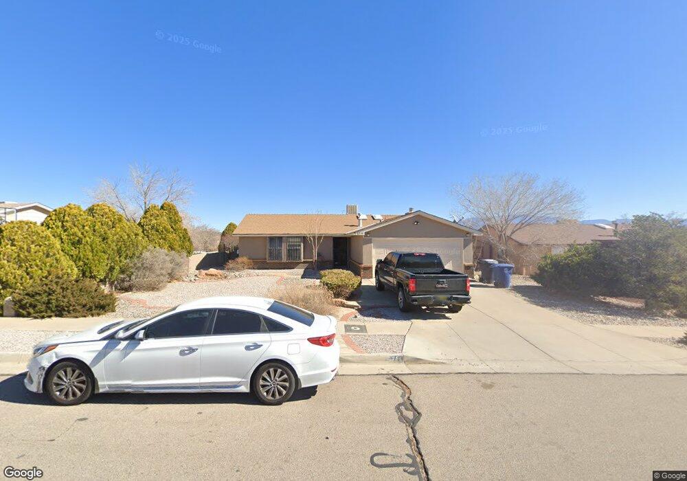
6714 Campfire Ln NW Albuquerque, NM 87120
Taylor Ranch NeighborhoodEstimated Value: $307,000 - $311,258
3
Beds
2
Baths
1,250
Sq Ft
$247/Sq Ft
Est. Value
About This Home
This home is located at 6714 Campfire Ln NW, Albuquerque, NM 87120 and is currently estimated at $309,065, approximately $247 per square foot. 6714 Campfire Ln NW is a home located in Bernalillo County with nearby schools including Marie M. Hughes Elementary School, L.B. Johnson Middle School, and Volcano Vista High School.
Ownership History
Date
Name
Owned For
Owner Type
Purchase Details
Closed on
Jun 8, 2018
Sold by
Piotrowicz Jesse and Piotrowicz Elise
Bought by
Campbell Ii Larry J and Frick Carley M
Current Estimated Value
Home Financials for this Owner
Home Financials are based on the most recent Mortgage that was taken out on this home.
Original Mortgage
$155,677
Outstanding Balance
$133,950
Interest Rate
4.37%
Mortgage Type
FHA
Estimated Equity
$175,115
Purchase Details
Closed on
Aug 5, 2009
Sold by
Jacques Suzanne T and Jacquez Joseph
Bought by
Jacquez Martinez Angelique J
Create a Home Valuation Report for This Property
The Home Valuation Report is an in-depth analysis detailing your home's value as well as a comparison with similar homes in the area
Home Values in the Area
Average Home Value in this Area
Purchase History
| Date | Buyer | Sale Price | Title Company |
|---|---|---|---|
| Campbell Ii Larry J | -- | Stewart Title | |
| Jacquez Martinez Angelique J | -- | None Available |
Source: Public Records
Mortgage History
| Date | Status | Borrower | Loan Amount |
|---|---|---|---|
| Open | Campbell Ii Larry J | $155,677 |
Source: Public Records
Tax History Compared to Growth
Tax History
| Year | Tax Paid | Tax Assessment Tax Assessment Total Assessment is a certain percentage of the fair market value that is determined by local assessors to be the total taxable value of land and additions on the property. | Land | Improvement |
|---|---|---|---|---|
| 2025 | $2,233 | $56,576 | $12,480 | $44,096 |
| 2024 | $2,233 | $54,928 | $12,116 | $42,812 |
| 2023 | $2,193 | $53,329 | $11,764 | $41,565 |
| 2022 | $2,117 | $51,775 | $11,421 | $40,354 |
| 2021 | $2,044 | $50,268 | $11,089 | $39,179 |
| 2020 | $2,008 | $48,804 | $10,766 | $38,038 |
| 2019 | $1,992 | $47,382 | $10,452 | $36,930 |
| 2018 | $1,874 | $47,382 | $10,452 | $36,930 |
| 2017 | $1,814 | $46,003 | $10,148 | $35,855 |
| 2016 | $1,760 | $43,363 | $9,566 | $33,797 |
| 2015 | $42,663 | $42,663 | $9,566 | $33,097 |
| 2014 | $1,727 | $42,663 | $9,566 | $33,097 |
| 2013 | -- | $42,979 | $12,285 | $30,694 |
Source: Public Records
Map
Nearby Homes
- 6116 Agate Ave NW
- 6616 Meadow Lake Place NW
- 6012 Open Sky Dr NW
- 6420 Pojoaque Rd NW
- 7300 Target Ln NW
- 5404 Territorial Rd NW
- 5429 Gold Rush Dr NW
- 7413 Target Ln NW
- 8213 Urraca St NW
- 6101 Chimayo Dr NW
- 6511 Vista Del Prado
- 0 Santo Domingo St NW Unit 1072927
- 7805 Aguila St NW
- 6020 Jamers Place NW
- 5305 Desert Sand Place NW
- 5901 Chimayo Dr NW
- 6543 Azor Ln
- 6520 Petirrojo Rd NW
- 6412 Picardia Place NW
- 5805 Chimayo Dr NW
- 6708 Campfire Ln NW
- 6720 Campfire Ln NW
- 6709 High Place Ct NW
- 6704 Campfire Ln NW
- 6116 Brahma Dr NW
- 6705 High Place Ct NW
- 6713 Campfire Ln NW
- 6715 High Place Ct NW
- 6715 High Place Ct NW Unit 1
- 6709 Campfire Ln NW
- 6717 Campfire Ln NW
- 6715 High Ct Place Unit 1
- 6700 Campfire Ln NW
- 6705 Campfire Ln NW
- 6701 High Place Ct NW
- 6721 Campfire Ln NW
- 6112 Brahma Dr NW
- 6701 Campfire Ln NW
- 6108 Brahma Dr NW
- 6725 Campfire Ln NW