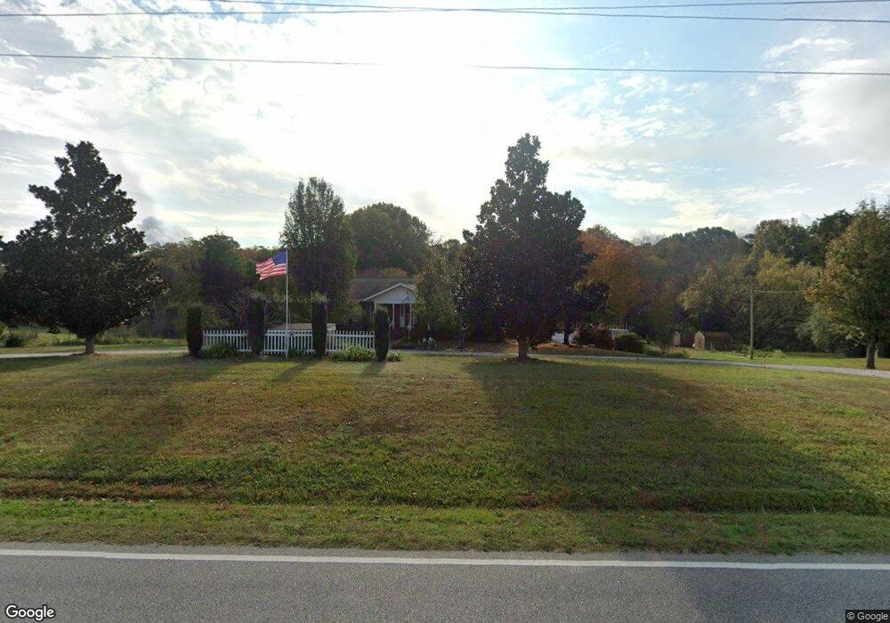
6719 Lancaster Hwy Waxhaw, NC 28173
Estimated Value: $505,000 - $557,000
3
Beds
4
Baths
2,595
Sq Ft
$208/Sq Ft
Est. Value
About This Home
This home is located at 6719 Lancaster Hwy, Waxhaw, NC 28173 and is currently estimated at $538,834, approximately $207 per square foot. 6719 Lancaster Hwy is a home located in Union County with nearby schools including Prospect Elementary School, Parkwood Middle School, and Parkwood High School.
Ownership History
Date
Name
Owned For
Owner Type
Purchase Details
Closed on
Sep 13, 2007
Sold by
Fox Leah Walters
Bought by
Walters Fox Jeffrey and Walters Fox Leah
Current Estimated Value
Home Financials for this Owner
Home Financials are based on the most recent Mortgage that was taken out on this home.
Original Mortgage
$116,400
Interest Rate
6.62%
Mortgage Type
New Conventional
Purchase Details
Closed on
Oct 20, 2003
Sold by
Walters Michael H and Walters Kay H
Bought by
Fox Leah Walters
Home Financials for this Owner
Home Financials are based on the most recent Mortgage that was taken out on this home.
Original Mortgage
$136,000
Interest Rate
6.03%
Mortgage Type
Purchase Money Mortgage
Create a Home Valuation Report for This Property
The Home Valuation Report is an in-depth analysis detailing your home's value as well as a comparison with similar homes in the area
Home Values in the Area
Average Home Value in this Area
Purchase History
| Date | Buyer | Sale Price | Title Company |
|---|---|---|---|
| Walters Fox Jeffrey | -- | None Available | |
| Fox Leah Walters | -- | -- |
Source: Public Records
Mortgage History
| Date | Status | Borrower | Loan Amount |
|---|---|---|---|
| Closed | Walters Fox Jeffrey | $116,400 | |
| Closed | Fox Leah Walters | $136,000 |
Source: Public Records
Tax History Compared to Growth
Tax History
| Year | Tax Paid | Tax Assessment Tax Assessment Total Assessment is a certain percentage of the fair market value that is determined by local assessors to be the total taxable value of land and additions on the property. | Land | Improvement |
|---|---|---|---|---|
| 2024 | $2,195 | $344,000 | $36,300 | $307,700 |
| 2023 | $2,160 | $344,000 | $36,300 | $307,700 |
| 2022 | $1,080 | $344,000 | $36,300 | $307,700 |
| 2021 | $2,120 | $343,700 | $36,300 | $307,400 |
| 2020 | $1,792 | $232,250 | $27,350 | $204,900 |
| 2019 | $1,798 | $232,250 | $27,350 | $204,900 |
| 2018 | $1,798 | $232,250 | $27,350 | $204,900 |
| 2017 | $1,914 | $232,300 | $27,400 | $204,900 |
| 2016 | $1,842 | $232,250 | $27,350 | $204,900 |
| 2015 | $1,867 | $232,250 | $27,350 | $204,900 |
| 2014 | $1,761 | $255,440 | $42,510 | $212,930 |
Source: Public Records
Map
Nearby Homes
- 106 Serenity Creek Dr
- 110 Serenity Creek Dr
- 6419 Lancaster Hwy Unit 9, 19
- 5313 Old Highway Rd
- 4805 Nesbit Rd
- 5105 Tom Starnes Rd
- 5904 Nesbit Rd
- 7517 Lancaster Hwy Unit 5
- 7517 Lancaster Hwy
- 0 Nesbit Rd Unit CAR4290917
- Roanoke Plan at Lancaster Hwy
- Charleston Plan at Lancaster Hwy
- 7513 Lancaster Hwy Unit 6
- 7513 Lancaster Hwy
- 0 Parkwood School Rd
- 0 Potter Rd S Unit 1 CAR4189512
- 0 Potter Rd S Unit 3 CAR4189516
- 0 Potter Rd S Unit 2 CAR4189515
- 0 Potter Rd S Unit CAR4189519
- 0 Potter Rd S Unit CAR4189518
- 6809 Lancaster Hwy
- 6721 Lancaster Hwy
- 6711 Lancaster Hwy
- 6711 Lancaster Hwy
- 6811 Lancaster Hwy
- 6720 Lancaster Hwy
- 6804 Lancaster Hwy
- 6710 Lancaster Hwy
- 6615 Lancaster Hwy
- 6618 Lancaster Hwy
- 6823 Lancaster Hwy
- 6825 Lancaster Hwy
- 6901 Lancaster Hwy
- 5205 Dwight Starnes Rd
- 5010 Dwight Starnes Rd
- 4934 Dwight Starnes Rd
- 6913 Lancaster Hwy
- 6915 Lancaster Hwy
- 5716 Old Highway Rd
- 5720 Old Highway Rd