Estimated Value: $274,000 - $309,000
3
Beds
2
Baths
1,484
Sq Ft
$194/Sq Ft
Est. Value
About This Home
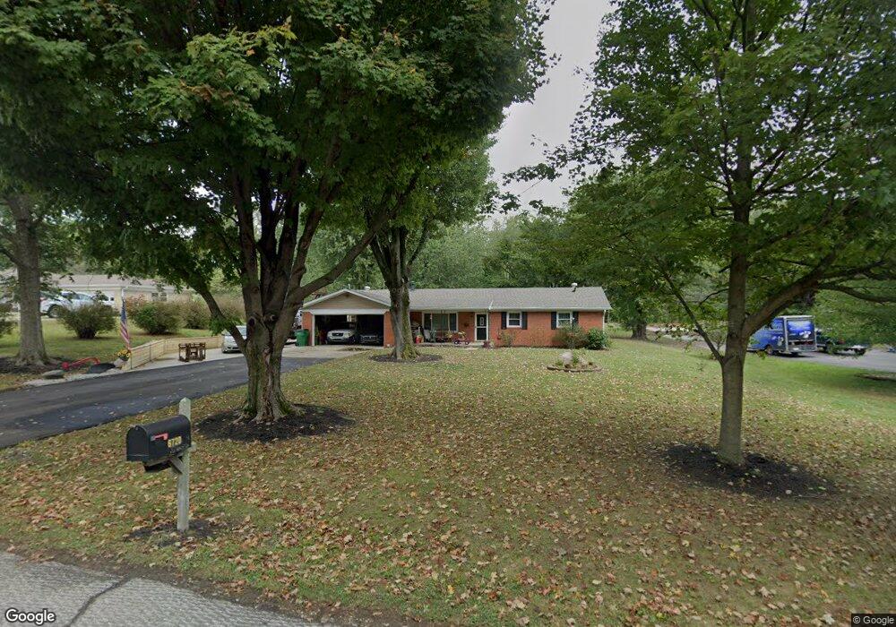
This home is located at 6720 Lakeshore Dr, Avon, IN 46123 and is currently estimated at $288,053, approximately $194 per square foot. 6720 Lakeshore Dr is a home located in Hendricks County with nearby schools including White Oak Elementary School, Avon Intermediate School West, and Pine Tree Elementary School.
Ownership History
Date
Name
Owned For
Owner Type
Purchase Details
Closed on
Jun 14, 2024
Sold by
Wessel Rachel J
Bought by
Rachel Wessel Irrevocable Trust
Current Estimated Value
Purchase Details
Closed on
Jun 1, 2005
Sold by
Miller Lora L and Miller Stephen A
Bought by
Wessel Rachel J
Home Financials for this Owner
Home Financials are based on the most recent Mortgage that was taken out on this home.
Original Mortgage
$35,000
Interest Rate
5.82%
Mortgage Type
New Conventional
Create a Home Valuation Report for This Property
The Home Valuation Report is an in-depth analysis detailing your home's value as well as a comparison with similar homes in the area
Home Values in the Area
Average Home Value in this Area
Purchase History
| Date | Buyer | Sale Price | Title Company |
|---|---|---|---|
| Rachel Wessel Irrevocable Trust | -- | None Listed On Document | |
| Wessel Rachel J | -- | None Available | |
| Wessel Rachel J | -- | None Available |
Source: Public Records
Mortgage History
| Date | Status | Borrower | Loan Amount |
|---|---|---|---|
| Previous Owner | Wessel Rachel J | $35,000 |
Source: Public Records
Tax History Compared to Growth
Tax History
| Year | Tax Paid | Tax Assessment Tax Assessment Total Assessment is a certain percentage of the fair market value that is determined by local assessors to be the total taxable value of land and additions on the property. | Land | Improvement |
|---|---|---|---|---|
| 2024 | $2,634 | $244,600 | $48,900 | $195,700 |
| 2023 | $2,455 | $224,500 | $44,800 | $179,700 |
| 2022 | $2,331 | $206,500 | $44,800 | $161,700 |
| 2021 | $1,968 | $175,000 | $44,800 | $130,200 |
| 2020 | $1,847 | $163,200 | $44,800 | $118,400 |
| 2019 | $1,696 | $152,400 | $40,400 | $112,000 |
| 2018 | $1,748 | $150,600 | $40,400 | $110,200 |
| 2017 | $1,458 | $145,000 | $39,200 | $105,800 |
| 2016 | $1,539 | $153,100 | $39,200 | $113,900 |
| 2014 | $1,407 | $139,800 | $37,300 | $102,500 |
Source: Public Records
Map
Nearby Homes
- 267 Queensway Dr
- 479 S Avon Ave
- 6561 Kings Ct
- 6548 Lake Forest Dr
- 386 Primrose Ln
- 6393 Barberry Dr
- 6911 Woodland Heights Dr
- 6896 Wilmot Ln
- 6329 Barberry Dr
- 6766 Buhrstone Ln
- 6695 Buhrstone Ln
- 7667 Barston Way
- 7687 Barston Way
- 6784 E County Road 100 S
- Hilltop Plan at Rivendell
- Riverton Plan at Rivendell
- Greenfield Plan at Rivendell
- Westchester Plan at Rivendell
- 6820 Loretta Ct
- 1074 S Avon Ave
- 6720 51 S
- 6744 Lakeshore Dr
- 6690 Lakeshore Dr
- 6717 Lakeshore Dr
- 6790 Lakeshore Dr
- 6678 Lakeshore Dr
- 6693 51 S
- 6777 Lakeshore Dr
- 6693 Lakeshore Dr
- 6804 Lakeshore Dr
- 6660 Lakeshore Dr
- 6832 Lakeshore Dr
- 6645 Lakeshore Dr
- 6634 Lakeshore Dr
- 6778 Southshore Dr
- 6794 Southshore Dr
- 6682 Southshore Dr
- 6736 Southshore Dr
- 6669 Baron Ct
- 6843 51 S