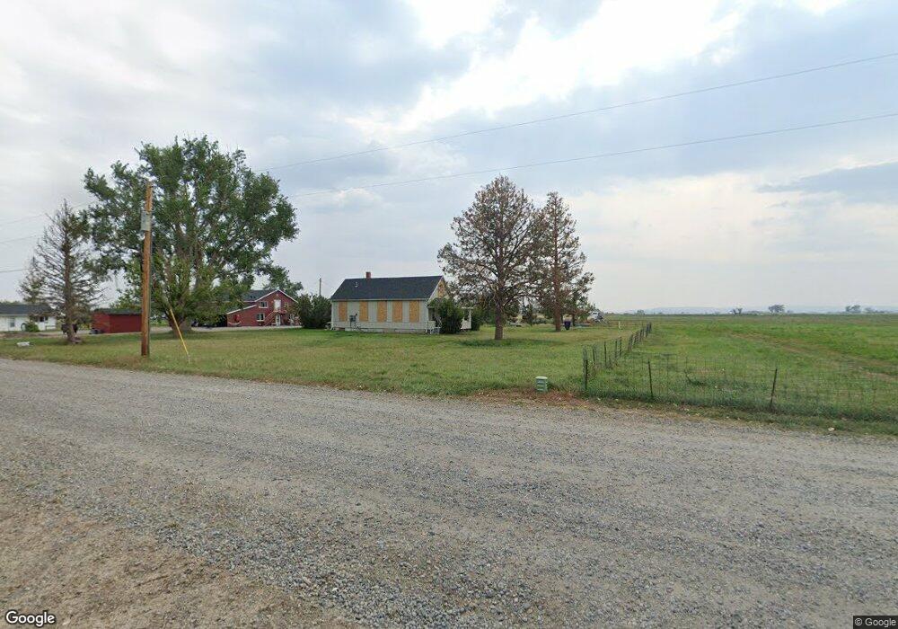
6720 Shepherd Rd E Shepherd, MT 59079
Estimated Value: $297,088 - $416,000
3
Beds
2
Baths
1,176
Sq Ft
$289/Sq Ft
Est. Value
About This Home
This home is located at 6720 Shepherd Rd E, Shepherd, MT 59079 and is currently estimated at $339,772, approximately $288 per square foot. 6720 Shepherd Rd E is a home located in Yellowstone County with nearby schools including Shepherd Elementary School, Shepherd Middle School, and Shepherd High School.
Ownership History
Date
Name
Owned For
Owner Type
Purchase Details
Closed on
Apr 10, 2024
Sold by
Dietz Kolby and Markle Kolby
Bought by
Pierce Sarah R
Current Estimated Value
Home Financials for this Owner
Home Financials are based on the most recent Mortgage that was taken out on this home.
Original Mortgage
$269,637
Outstanding Balance
$265,500
Interest Rate
6.74%
Mortgage Type
FHA
Estimated Equity
$74,272
Purchase Details
Closed on
Sep 8, 2021
Sold by
Rainmakers Llc
Bought by
Dietz Kolby and Markle Sidney T
Home Financials for this Owner
Home Financials are based on the most recent Mortgage that was taken out on this home.
Original Mortgage
$206,196
Interest Rate
2.8%
Mortgage Type
New Conventional
Purchase Details
Closed on
Dec 1, 2017
Sold by
Beckers Kenneth J
Bought by
Rainmakers Llc
Create a Home Valuation Report for This Property
The Home Valuation Report is an in-depth analysis detailing your home's value as well as a comparison with similar homes in the area
Purchase History
| Date | Buyer | Sale Price | Title Company |
|---|---|---|---|
| Pierce Sarah R | -- | Flying S Title And Escrow | |
| Dietz Kolby | -- | First American Title Company | |
| Rainmakers Llc | -- | Stewart Title |
Source: Public Records
Mortgage History
| Date | Status | Borrower | Loan Amount |
|---|---|---|---|
| Open | Pierce Sarah R | $269,637 | |
| Previous Owner | Dietz Kolby | $206,196 |
Source: Public Records
Tax History
| Year | Tax Paid | Tax Assessment Tax Assessment Total Assessment is a certain percentage of the fair market value that is determined by local assessors to be the total taxable value of land and additions on the property. | Land | Improvement |
|---|---|---|---|---|
| 2025 | $2,076 | $249,100 | $64,500 | $184,600 |
| 2024 | $2,076 | $234,300 | $52,700 | $181,600 |
| 2023 | $2,111 | $234,300 | $52,700 | $181,600 |
| 2022 | $1,764 | $174,200 | $0 | $0 |
| 2021 | $1,688 | $166,600 | $0 | $0 |
| 2020 | $1,575 | $149,800 | $0 | $0 |
| 2019 | $1,315 | $149,800 | $0 | $0 |
| 2018 | $1,430 | $154,500 | $0 | $0 |
| 2017 | $1,249 | $156,000 | $0 | $0 |
| 2016 | $1,484 | $171,800 | $0 | $0 |
| 2015 | $1,478 | $171,800 | $0 | $0 |
| 2014 | $1,088 | $67,045 | $0 | $0 |
Source: Public Records
Map
Nearby Homes
- 6835 Eagle Bend Blvd
- 7340 Wild Game Trail
- 7420 Whitetail Run
- 5652 Bengston Rd
- 8020 Wade St
- 5430 Cerkoney Ln
- 0 Shepherd Road Lot Shepherd Rd
- 0 SHepherd Road lot Shepherd Rd
- 9705 Shepherd Rd
- 1794 N 4th Rd
- 10550 Reno Ln
- 7306 Kendra Lynn Dr
- 3835 Nellie Christine Dr
- 3863 Glenn Edward Rd
- 7684 12 Mile Rd
- 6447 US Highway 312
- L5B4 Trumbo Cir
- L4B4 Trumbo Cir
- L3B4 Trumbo Cir
- 3625 Nellie Christine Dr
- 6732 Shepherd Rd E
- 6723 Buffalo Dr
- 6655 Shepherd Rd E
- 6719 Buffalo Dr
- 6807 Shepherd Rd E
- 6810 Shepherd Rd E
- 7922 Spear Dr
- 6611 Shepherd Rd E
- 0000 Buffalo Dr
- 0 Buffalo Dr
- 6630 Buffalo Dr
- 7914 Spear Dr
- 7936 Spear Dr
- 6814 Pinto Dr
- 6830 Pinto Dr
- 6800 Pinto Dr
- 6823 Shepherd Rd E
- 6701 Buffalo Dr
- 6635 Buffalo Dr
- 7838 Buckskin Dr
Your Personal Tour Guide
Ask me questions while you tour the home.