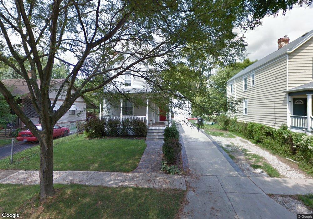
6720 Windward St Cincinnati, OH 45227
Madisonville NeighborhoodEstimated Value: $236,000 - $274,000
2
Beds
1
Bath
1,374
Sq Ft
$186/Sq Ft
Est. Value
About This Home
This home is located at 6720 Windward St, Cincinnati, OH 45227 and is currently estimated at $255,931, approximately $186 per square foot. 6720 Windward St is a home located in Hamilton County with nearby schools including John P. Parker School, Shroder High School, and Clark Montessori High School.
Ownership History
Date
Name
Owned For
Owner Type
Purchase Details
Closed on
Jan 25, 2025
Sold by
Groh James E and Groh Amanda B
Bought by
6720 Windward Llc
Current Estimated Value
Purchase Details
Closed on
Feb 26, 2004
Sold by
Patton Lashaun and West Lashaun
Bought by
Groh James E
Home Financials for this Owner
Home Financials are based on the most recent Mortgage that was taken out on this home.
Original Mortgage
$48,400
Interest Rate
6.75%
Mortgage Type
Unknown
Purchase Details
Closed on
Sep 26, 2002
Sold by
West Vernon
Bought by
West Lashaun
Create a Home Valuation Report for This Property
The Home Valuation Report is an in-depth analysis detailing your home's value as well as a comparison with similar homes in the area
Home Values in the Area
Average Home Value in this Area
Purchase History
| Date | Buyer | Sale Price | Title Company |
|---|---|---|---|
| 6720 Windward Llc | -- | None Listed On Document | |
| Groh James E | $60,500 | -- | |
| West Lashaun | -- | -- |
Source: Public Records
Mortgage History
| Date | Status | Borrower | Loan Amount |
|---|---|---|---|
| Previous Owner | Groh James E | $48,400 |
Source: Public Records
Tax History
| Year | Tax Paid | Tax Assessment Tax Assessment Total Assessment is a certain percentage of the fair market value that is determined by local assessors to be the total taxable value of land and additions on the property. | Land | Improvement |
|---|---|---|---|---|
| 2025 | $3,526 | $56,959 | $15,316 | $41,643 |
| 2024 | $3,430 | $56,959 | $15,316 | $41,643 |
| 2023 | $3,500 | $56,959 | $15,316 | $41,643 |
| 2022 | $2,501 | $36,443 | $7,550 | $28,893 |
| 2021 | $2,411 | $36,443 | $7,550 | $28,893 |
| 2020 | $2,473 | $36,443 | $7,550 | $28,893 |
| 2019 | $2,396 | $32,250 | $6,682 | $25,568 |
| 2018 | $2,399 | $32,250 | $6,682 | $25,568 |
| 2017 | $2,283 | $32,250 | $6,682 | $25,568 |
| 2016 | $1,833 | $25,620 | $6,377 | $19,243 |
| 2015 | $1,653 | $25,620 | $6,377 | $19,243 |
| 2014 | $1,665 | $25,620 | $6,377 | $19,243 |
| 2013 | $1,644 | $24,875 | $6,192 | $18,683 |
Source: Public Records
Map
Nearby Homes
- 4726 Castle Place
- 4719 Castle Place
- 4609 Winona Terrace
- 6225 Roe St
- 4511 Homer Ave
- 6845 E Fork Rd
- 7013 Palmetto St
- 4424 Simpson Ave
- 4610 Simpson Ave
- 6219 Erie Ave
- 6124 Clephane Ave
- 7018 Bramble Ave
- 4003 Berwick Ave
- 6949 Cambridge Ave
- 4207 Simpson Ave
- 6118 Prentice St
- 6325 Desmond St
- 6022 Bramble Ave
- 6009 Erie Ave
- 6017 Bramble Ave
- 6716 Windward St
- 6724 Windward St
- 6717 Roe St
- 6728 Windward St
- 6712 Windward St
- 6721 Roe St
- 6710 Windward St
- 6715 Roe St
- 6729 Roe St
- 6723 Windward St
- 4531 Plainville Rd
- 6713 Roe St
- 6725 Windward St
- 6719 Windward St
- 4533 Plainville Rd
- 6706 Windward St
- 6729 Windward Ave
- 4501 Plainville Rd
- 6709 Windward St
- 4535 Plainville Rd