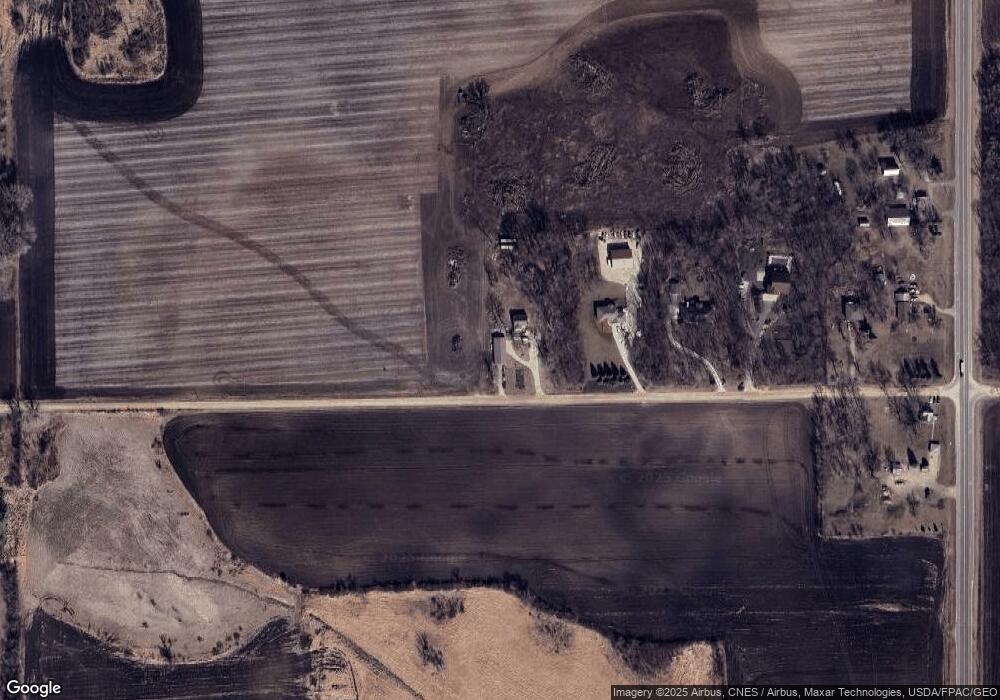
6723 300th St W Northfield, MN 55057
Estimated Value: $377,000 - $403,000
3
Beds
1
Bath
1,294
Sq Ft
$301/Sq Ft
Est. Value
About This Home
This home is located at 6723 300th St W, Northfield, MN 55057 and is currently estimated at $389,295, approximately $300 per square foot. 6723 300th St W is a home located in Dakota County with nearby schools including Greenvale Park Elementary School, Northfield Middle School, and Northfield Senior High School.
Ownership History
Date
Name
Owned For
Owner Type
Purchase Details
Closed on
Nov 28, 2011
Sold by
Erickson Deborah Christine
Bought by
Nordrum Nathaniel W
Current Estimated Value
Home Financials for this Owner
Home Financials are based on the most recent Mortgage that was taken out on this home.
Original Mortgage
$157,405
Outstanding Balance
$109,671
Interest Rate
4.4%
Mortgage Type
FHA
Estimated Equity
$279,624
Create a Home Valuation Report for This Property
The Home Valuation Report is an in-depth analysis detailing your home's value as well as a comparison with similar homes in the area
Home Values in the Area
Average Home Value in this Area
Purchase History
| Date | Buyer | Sale Price | Title Company |
|---|---|---|---|
| Nordrum Nathaniel W | $161,500 | Title Support Servces |
Source: Public Records
Mortgage History
| Date | Status | Borrower | Loan Amount |
|---|---|---|---|
| Open | Nordrum Nathaniel W | $157,405 |
Source: Public Records
Tax History Compared to Growth
Tax History
| Year | Tax Paid | Tax Assessment Tax Assessment Total Assessment is a certain percentage of the fair market value that is determined by local assessors to be the total taxable value of land and additions on the property. | Land | Improvement |
|---|---|---|---|---|
| 2024 | $3,014 | $339,400 | $96,200 | $243,200 |
| 2023 | $3,014 | $344,700 | $98,600 | $246,100 |
| 2022 | $2,634 | $326,300 | $97,500 | $228,800 |
| 2021 | $2,692 | $268,300 | $81,200 | $187,100 |
| 2020 | $2,478 | $257,200 | $78,900 | $178,300 |
| 2019 | $2,366 | $228,100 | $70,300 | $157,800 |
| 2018 | $2,409 | $208,500 | $66,900 | $141,600 |
| 2017 | $1,981 | $206,800 | $66,900 | $139,900 |
| 2016 | $2,109 | $188,600 | $60,800 | $127,800 |
| 2015 | $2,264 | $172,476 | $54,504 | $117,972 |
| 2014 | -- | $180,542 | $53,494 | $127,048 |
| 2013 | -- | $160,813 | $47,527 | $113,286 |
Source: Public Records
Map
Nearby Homes
- 8858 298th Ct W
- 1507 Independence Dr
- 1504 Independence Dr Unit 603
- XXXXX 330th St
- TBD Hwy 19 / Lonsdal Lonsdale Blvd E
- 27885 Delft Ave
- 1105 Hawthorne Ct
- 1404 Lockwood Dr
- 705 Grundhoefer Ct
- 1000 Cannon Valley Dr Unit 143
- 31125 Jamaica Ave
- 1025 Summerfield Dr
- 601 Meldahl Ln
- TBD 265th St W
- 717 Lincoln St N
- 728 Lathrop Dr
- 94 Viking Terrace Unit 94
- 732 Lathrop Dr
- 812 Ivanhoe Dr
- 1108 Greenvale Ave W Unit 2
- 6715 300th St W
- 6709 300th St W
- 6705 300th St W
- 29961 Foliage Ave
- 29891 Foliage Ave
- 30025 Foliage Ave
- 29XXX Foliage Ave
- 30151 Garrett Ave
- 7171 300th St W
- 29676 Foliage Ave
- xxx 307th St
- 29410 Foliage Ave
- XXX Foliage
- 7150 292nd St
- 6192 300th St W
- 7277 307th St W
- 6721 307th St W
- 6375 307th St W
- 7088 307th St W
- 30818 Foliage Ave
