673 Rocky Point Rd Fleming, OH 45729
Estimated Value: $300,000 - $394,000
3
Beds
3
Baths
2,227
Sq Ft
$148/Sq Ft
Est. Value
About This Home
This home is located at 673 Rocky Point Rd, Fleming, OH 45729 and is currently estimated at $330,137, approximately $148 per square foot. 673 Rocky Point Rd is a home with nearby schools including Warren High School.
Ownership History
Date
Name
Owned For
Owner Type
Purchase Details
Closed on
Apr 28, 2015
Sold by
Parsons Roberta O
Bought by
Jackson Janice M
Current Estimated Value
Home Financials for this Owner
Home Financials are based on the most recent Mortgage that was taken out on this home.
Original Mortgage
$22,854
Outstanding Balance
$12,989
Interest Rate
3.77%
Mortgage Type
Future Advance Clause Open End Mortgage
Estimated Equity
$317,148
Purchase Details
Closed on
Dec 30, 2014
Sold by
Parsons Roberta O
Bought by
Sturm Ii Billy D
Purchase Details
Closed on
May 8, 2000
Bought by
Parsons Roberta O
Create a Home Valuation Report for This Property
The Home Valuation Report is an in-depth analysis detailing your home's value as well as a comparison with similar homes in the area
Purchase History
| Date | Buyer | Sale Price | Title Company |
|---|---|---|---|
| Jackson Janice M | $20,000 | Attorney | |
| Sturm Ii Billy D | $5,000 | Attorney | |
| Parsons Roberta O | -- | -- | |
| Parsons Roberta O | -- | -- |
Source: Public Records
Mortgage History
| Date | Status | Borrower | Loan Amount |
|---|---|---|---|
| Open | Jackson Janice M | $22,854 |
Source: Public Records
Tax History
| Year | Tax Paid | Tax Assessment Tax Assessment Total Assessment is a certain percentage of the fair market value that is determined by local assessors to be the total taxable value of land and additions on the property. | Land | Improvement |
|---|---|---|---|---|
| 2024 | $3,972 | $73,910 | $8,770 | $65,140 |
| 2023 | $2,863 | $73,910 | $8,770 | $65,140 |
| 2022 | $2,828 | $73,910 | $8,770 | $65,140 |
| 2021 | $2,351 | $58,660 | $7,140 | $51,520 |
| 2020 | $2,349 | $58,660 | $7,140 | $51,520 |
| 2019 | $2,317 | $58,660 | $7,140 | $51,520 |
| 2018 | $2,238 | $54,990 | $5,710 | $49,280 |
| 2017 | $2,209 | $54,990 | $5,710 | $49,280 |
| 2016 | $2,799 | $54,990 | $5,710 | $49,280 |
| 2015 | $1,527 | $50,970 | $5,490 | $45,480 |
| 2014 | $2,849 | $55,360 | $7,010 | $48,350 |
| 2013 | $1,695 | $55,360 | $7,010 | $48,350 |
Source: Public Records
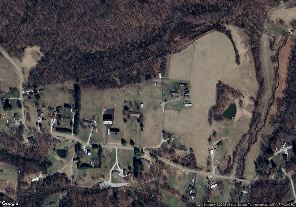
Map
Nearby Homes
- 550 Rocky Point Rd
- 6570 State Route 339
- 0 Layman Rd Unit 25046006
- 77 First St
- 8030 State Route 339
- 265 James Ln
- 10270 Ohio 550
- 280 Asher Ln
- 4801 Veto Rd
- 81 James Rd
- 111 T322
- 1556 Mcgill Rd
- 10507 Ohio 339
- 232 Mcgill Rd
- 10174 Veto Rd
- 0 Fisher Ridge Rd
- 2207 Veto Rd
- 0 Tadpole Run Rd
- 0 Fisher Ridge Rd Tract 1
- 0 Fisher Ridge Rd Tract 2
- 738 Rocky Point Rd
- 681 Rocky Point Rd
- 647 Rocky Point Rd
- 662 Rocky Point Rd
- 616 Rocky Point Rd
- 870 Rocky Point Rd
- 830 Rocky Point Rd
- 611 Rocky Point Rd
- 571 Rocky Point Rd
- 3401 Lake Rd
- 3373 Lake Rd
- 989 Rocky Point Rd
- 509 Rocky Point Rd
- 500 Rocky Point Rd
- 1015 Rocky Point Rd
- 3235 Lake Rd
- 451 Rocky Point Rd
- 460 Rocky Point Rd
- 1018 Rocky Point Rd
- 434 Rocky Point Rd
Your Personal Tour Guide
Ask me questions while you tour the home.