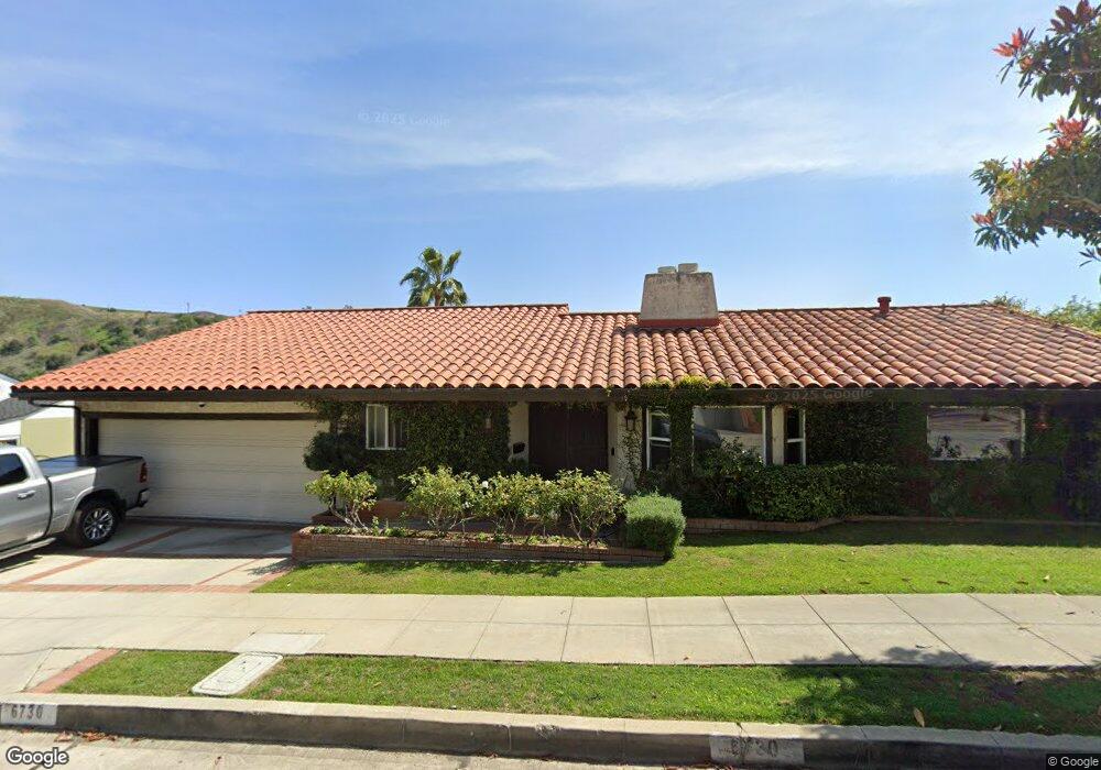
6730 Worsham Dr Whittier, CA 90602
Whittier College NeighborhoodEstimated Value: $1,360,000 - $1,593,000
About This Home
This home is located at 6730 Worsham Dr, Whittier, CA 90602 and is currently estimated at $1,485,543, approximately $418 per square foot. 6730 Worsham Dr is a home located in Los Angeles County with nearby schools including Lou Henry Hoover Elementary School, Walter F. Dexter Middle School, and Whittier High School.
Ownership History
We collect this data history from publicly available records. To have your information removed, we recommend requesting removal directly through your county’s website.
Purchase Details
Home Financials for this Owner
Home Financials are based on the most recent Mortgage that was taken out on this home.Purchase Details
Home Financials for this Owner
Home Financials are based on the most recent Mortgage that was taken out on this home.Purchase Details
Home Financials for this Owner
Home Financials are based on the most recent Mortgage that was taken out on this home.Purchase Details
Purchase Details
Home Financials for this Owner
Home Financials are based on the most recent Mortgage that was taken out on this home.Home Values in the Area
Average Home Value in this Area
Purchase History
We collect this data history from publicly available records. To have your information removed, we recommend requesting removal directly through your county’s website.
| Date | Buyer | Sale Price | Title Company |
|---|---|---|---|
| -- | First American Title Ins Co | ||
| -- | Lawyers Title Insurance | ||
| -- | Lawyers Title Company | ||
| -- | -- | ||
| $352,000 | Old Republic Title Company |
Mortgage History
We collect this data history from publicly available records. To have your information removed, we recommend requesting removal directly through your county’s website.
| Date | Status | Borrower | Loan Amount |
|---|---|---|---|
| Open | $415,000 | ||
| Closed | $315,000 | ||
| Previous Owner | $316,800 |
Tax History
We collect this data history from publicly available records. To have your information removed, we recommend requesting removal directly through your county’s website.
| Year | Tax Paid | Tax Assessment Tax Assessment Total Assessment is a certain percentage of the fair market value that is determined by local assessors to be the total taxable value of land and additions on the property. | Land | Improvement |
|---|---|---|---|---|
| 2025 | $8,290 | $598,264 | $218,902 | $379,362 |
| 2024 | $7,486 | $586,534 | $214,610 | $371,924 |
| 2023 | $7,309 | $575,034 | $210,402 | $364,632 |
| 2022 | $7,117 | $563,760 | $206,277 | $357,483 |
| 2021 | $6,945 | $552,707 | $202,233 | $350,474 |
| 2019 | $6,864 | $536,316 | $196,236 | $340,080 |
| 2018 | $6,652 | $525,801 | $192,389 | $333,412 |
| 2016 | $6,332 | $505,385 | $184,919 | $320,466 |
| 2015 | $6,239 | $497,795 | $182,142 | $315,653 |
| 2014 | $6,159 | $488,045 | $178,575 | $309,470 |
Map
- 13705 Glen Ct
- 7002 Bryn Mawr Way
- 13521 Terrace Place
- 13453 Bailey St
- 13429 Bailey St
- 13759 Penn St
- 6131 Southwind Dr
- 13570 Turnbull Canyon Rd
- 6233 Haviland Ave
- 6532 Friends Ave
- 0 None Unit IG25263954
- 13504 Earlham Dr
- 7714 Vale Dr
- 13702 Mar Vista St
- 7251 Painter Ave Unit 7255
- 13112 Hadley St
- 13917 Walnut St
- 6211 Washington Ave
- 14020 Eastridge Dr
- 7052 Bright Ave
- 6713 Worsham Dr
- 6723 Worsham Dr
- 13794 Philadelphia St
- 6722 Worsham Dr
- 13803 Philadelphia St
- 6704 Worsham Dr
- 6735 Worsham Dr
- 13788 Philadelphia St
- 13808 Philadelphia St
- 6710 Worsham Dr
- 13692 Park St
- 13688 Park St
- 13811 Philadelphia St
- 6738 Worsham Dr
- 6743 Worsham Dr
- 13782 Philadelphia St
- 13818 Philadelphia St
- 13779 Philadelphia St
- 6708 Worsham Dr
- 6512 Southwind Dr
Ask me questions while you tour the home.