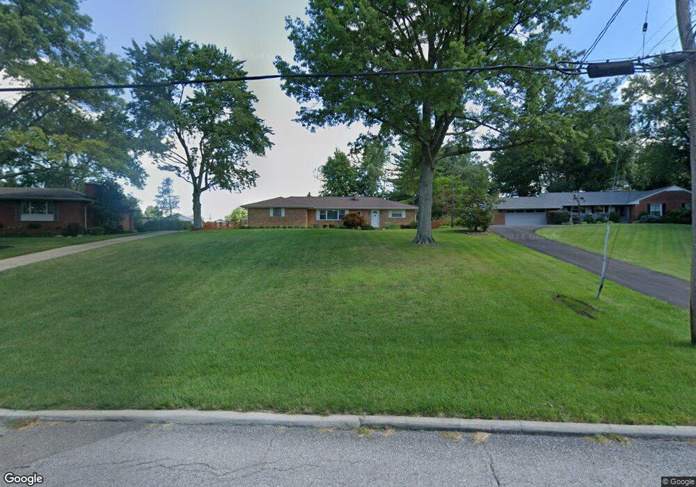
6734 Kildare Dr Cincinnati, OH 45233
Estimated Value: $330,817 - $456,000
2
Beds
2
Baths
1,468
Sq Ft
$258/Sq Ft
Est. Value
About This Home
This home is located at 6734 Kildare Dr, Cincinnati, OH 45233 and is currently estimated at $379,204, approximately $258 per square foot. 6734 Kildare Dr is a home located in Hamilton County with nearby schools including John Foster Dulles Elementary School, Rapid Run Middle School, and Oak Hills High School.
Ownership History
Date
Name
Owned For
Owner Type
Purchase Details
Closed on
Aug 29, 2003
Sold by
Hines Mary Ann
Bought by
Goertemoeller John M and Goertemoeller Janette D
Current Estimated Value
Home Financials for this Owner
Home Financials are based on the most recent Mortgage that was taken out on this home.
Original Mortgage
$158,000
Interest Rate
5.97%
Mortgage Type
Unknown
Purchase Details
Closed on
Sep 11, 2000
Sold by
Ann Hines Mary
Bought by
Hines Mary Ann
Create a Home Valuation Report for This Property
The Home Valuation Report is an in-depth analysis detailing your home's value as well as a comparison with similar homes in the area
Home Values in the Area
Average Home Value in this Area
Purchase History
| Date | Buyer | Sale Price | Title Company |
|---|---|---|---|
| Goertemoeller John M | $198,000 | Cambridge Land Title Agency | |
| Hines Mary Ann | -- | -- |
Source: Public Records
Mortgage History
| Date | Status | Borrower | Loan Amount |
|---|---|---|---|
| Closed | Goertemoeller John M | $158,000 |
Source: Public Records
Tax History
| Year | Tax Paid | Tax Assessment Tax Assessment Total Assessment is a certain percentage of the fair market value that is determined by local assessors to be the total taxable value of land and additions on the property. | Land | Improvement |
|---|---|---|---|---|
| 2025 | $4,894 | $87,563 | $15,449 | $72,114 |
| 2024 | $4,798 | $87,563 | $15,449 | $72,114 |
| 2023 | $4,843 | $87,563 | $15,449 | $72,114 |
| 2022 | $4,066 | $62,206 | $14,413 | $47,793 |
| 2021 | $3,730 | $62,206 | $14,413 | $47,793 |
| 2020 | $4,257 | $62,206 | $14,413 | $47,793 |
| 2019 | $4,185 | $55,542 | $12,870 | $42,672 |
| 2018 | $4,190 | $55,542 | $12,870 | $42,672 |
| 2017 | $3,999 | $55,542 | $12,870 | $42,672 |
| 2016 | $3,103 | $54,786 | $12,691 | $42,095 |
| 2015 | $3,130 | $54,786 | $12,691 | $42,095 |
| 2014 | $3,134 | $54,786 | $12,691 | $42,095 |
| 2013 | $2,872 | $53,712 | $12,443 | $41,269 |
Source: Public Records
Map
Nearby Homes
- 2659 Devils Backbone Rd
- 2223 van Blaricum Rd
- 3388 Markdale Ct
- 7284 Kirkridge Dr
- 2660 Coshocton Ct
- 6684 Powner Farm Dr
- 2763 Gallia Dr
- 6090 Muddy Creek Rd
- 6040 Countrymeadow Ln
- Lot 28 Southpointe Dr
- 5913 Countryhills Dr
- 2794 Buckridge Dr
- 6551 Cleves Warsaw Pike
- 1711 Ebenezer Rd
- 3905 Springoak Dr
- 2850 Buckridge Dr
- 5809 Harborpoint Dr
- 1259 Wexford Ln
- 3049 Barnbougle Dr
- 3036 Barnbougle Dr
Your Personal Tour Guide
Ask me questions while you tour the home.