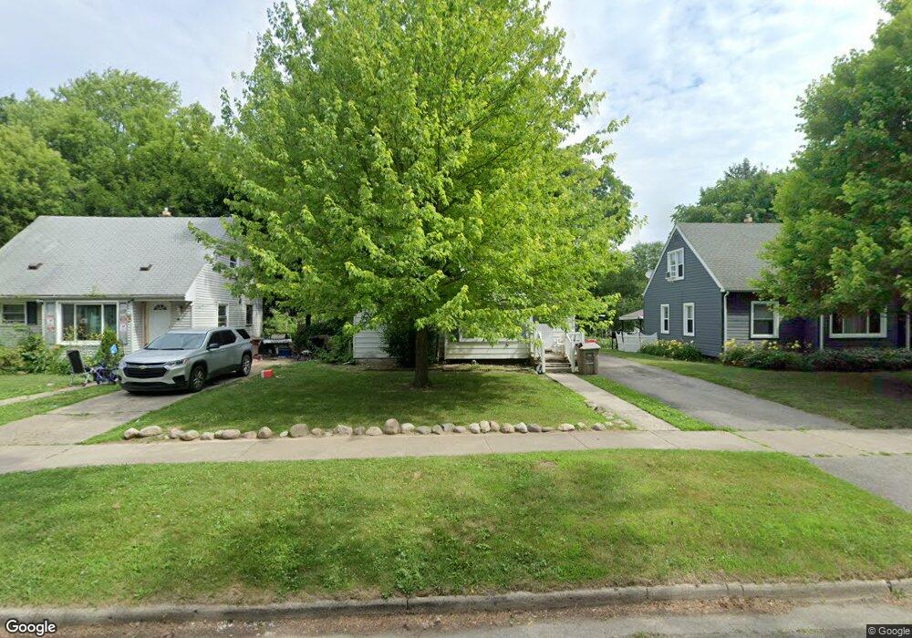
675 3rd Ave Pontiac, MI 48340
Estimated Value: $120,477 - $151,000
1
Bed
1
Bath
922
Sq Ft
$154/Sq Ft
Est. Value
About This Home
This home is located at 675 3rd Ave, Pontiac, MI 48340 and is currently estimated at $141,619, approximately $153 per square foot. 675 3rd Ave is a home located in Oakland County with nearby schools including Owen Elementary School, Pontiac Middle School, and Pontiac High School.
Ownership History
Date
Name
Owned For
Owner Type
Purchase Details
Closed on
Dec 7, 2012
Sold by
Ocre Capital
Bought by
Mcneese Sean K and Mcneese Heidi
Current Estimated Value
Purchase Details
Closed on
Jun 21, 2011
Sold by
Mcneese Sean K
Bought by
Ocre Capital
Purchase Details
Closed on
Dec 21, 2010
Sold by
Mcneese Sean K
Bought by
Federal National Mortgage Association
Purchase Details
Closed on
May 7, 1998
Sold by
Holdwick Rosaria J
Bought by
Mcneese Sean K
Home Financials for this Owner
Home Financials are based on the most recent Mortgage that was taken out on this home.
Original Mortgage
$55,000
Interest Rate
7.27%
Purchase Details
Closed on
Sep 1, 1995
Sold by
Mcneese Sean K
Bought by
Mcneese Sean K
Create a Home Valuation Report for This Property
The Home Valuation Report is an in-depth analysis detailing your home's value as well as a comparison with similar homes in the area
Home Values in the Area
Average Home Value in this Area
Purchase History
| Date | Buyer | Sale Price | Title Company |
|---|---|---|---|
| Mcneese Sean K | -- | None Available | |
| Ocre Capital | -- | None Available | |
| Federal National Mortgage Association | -- | None Available | |
| Mcneese Sean K | -- | -- | |
| Mcneese Sean K | -- | -- |
Source: Public Records
Mortgage History
| Date | Status | Borrower | Loan Amount |
|---|---|---|---|
| Previous Owner | Mcneese Sean K | $55,000 |
Source: Public Records
Tax History Compared to Growth
Tax History
| Year | Tax Paid | Tax Assessment Tax Assessment Total Assessment is a certain percentage of the fair market value that is determined by local assessors to be the total taxable value of land and additions on the property. | Land | Improvement |
|---|---|---|---|---|
| 2024 | $495 | $33,960 | $0 | $0 |
| 2023 | $472 | $30,580 | $0 | $0 |
| 2022 | $521 | $26,870 | $0 | $0 |
| 2021 | $507 | $23,390 | $0 | $0 |
| 2020 | $429 | $21,700 | $0 | $0 |
| 2019 | $483 | $19,040 | $0 | $0 |
| 2018 | $455 | $16,880 | $0 | $0 |
| 2017 | $435 | $16,240 | $0 | $0 |
| 2016 | $463 | $14,430 | $0 | $0 |
| 2015 | -- | $12,580 | $0 | $0 |
| 2014 | -- | $11,010 | $0 | $0 |
| 2011 | -- | $17,240 | $0 | $0 |
Source: Public Records
Map
Nearby Homes
- 686 4th Ave
- 731 1st Ave
- 720 E Columbia Ave
- 675 E Beverly Ave
- 683 Clara Ave
- 778 4th Ave
- 686 Peacock Ave
- 794 Clara Ave
- 614 E Tennyson Ave
- 630 E Madison Ave
- 627 Wesbrook St
- 583 Wesbrook St
- 620 Wesbrook St
- 663 Lenox Ave
- 1336 Ridgeway Blvd
- 864 Amanda Ln
- 806 Brandon Ave Unit 71
- 819 Brandon Ave Unit 34
- 1328 Ridgeway Blvd Unit 32
- 1218 Galloway Cir