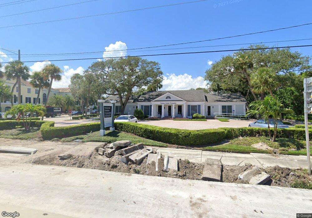
675 Beachland Blvd Vero Beach, FL 32963
Estimated Value: $4,181,156
--
Bed
--
Bath
630
Sq Ft
$6,637/Sq Ft
Est. Value
About This Home
This home is located at 675 Beachland Blvd, Vero Beach, FL 32963 and is currently estimated at $4,181,156, approximately $6,636 per square foot. 675 Beachland Blvd is a home located in Indian River County with nearby schools including Beachland Elementary School, Gifford Middle School, and Vero Beach High School.
Ownership History
Date
Name
Owned For
Owner Type
Purchase Details
Closed on
Jun 13, 2013
Sold by
Lincoln Interiors Ltd Inc
Bought by
Vero Beach Land Holdings Llc
Current Estimated Value
Home Financials for this Owner
Home Financials are based on the most recent Mortgage that was taken out on this home.
Original Mortgage
$750,000
Outstanding Balance
$351,491
Interest Rate
3.37%
Mortgage Type
Future Advance Clause Open End Mortgage
Estimated Equity
$3,829,665
Create a Home Valuation Report for This Property
The Home Valuation Report is an in-depth analysis detailing your home's value as well as a comparison with similar homes in the area
Home Values in the Area
Average Home Value in this Area
Purchase History
| Date | Buyer | Sale Price | Title Company |
|---|---|---|---|
| Vero Beach Land Holdings Llc | $1,500,000 | Attorney |
Source: Public Records
Mortgage History
| Date | Status | Borrower | Loan Amount |
|---|---|---|---|
| Open | Vero Beach Land Holdings Llc | $750,000 |
Source: Public Records
Tax History Compared to Growth
Tax History
| Year | Tax Paid | Tax Assessment Tax Assessment Total Assessment is a certain percentage of the fair market value that is determined by local assessors to be the total taxable value of land and additions on the property. | Land | Improvement |
|---|---|---|---|---|
| 2024 | $18,963 | $1,193,360 | $797,513 | $395,847 |
| 2023 | $18,963 | $1,192,909 | $797,513 | $395,396 |
| 2022 | $18,972 | $1,194,339 | $797,513 | $396,826 |
| 2021 | $19,000 | $1,177,045 | $797,513 | $379,532 |
| 2020 | $19,316 | $1,181,515 | $797,513 | $384,002 |
| 2019 | $19,912 | $1,185,984 | $797,513 | $388,471 |
| 2018 | $20,343 | $1,190,454 | $797,513 | $392,941 |
| 2017 | $20,719 | $1,194,923 | $0 | $0 |
| 2016 | $20,964 | $1,197,170 | $0 | $0 |
| 2015 | $22,814 | $1,263,660 | $0 | $0 |
| 2014 | $22,235 | $1,271,490 | $0 | $0 |
Source: Public Records
Map
Nearby Homes
- 655 Acacia Rd
- 645 Acacia Rd
- 641 Azalea Ln
- 765 Azalea Ln
- 775 Azalea Ln
- 636 Cypress Rd
- 3526 Jimmy Buffett Memorial Hwy
- 566-576 Azalea Ln
- 3200 Eagle Dr
- 546 Azalea Ln
- 661 Date Palm Rd
- 790 Bougainvillea Ln
- 631 Camelia Ln
- 846 Date Palm Rd
- 3605 Eagle Dr
- 3579 Ocean Dr
- 3581 Ocean Dr
- 545 Date Palm Rd
- 646 Camelia Ln
- 3500 Ocean Dr Unit 228
- 674 Acacia Rd
- 664 Acacia Rd
- 650 Acacia Rd
- 660 Beachland Blvd Unit 201
- 660 Beachland Blvd Unit 204
- 660 Beachland Blvd
- 700 Beachland Blvd
- 700 Beachland Blvd Unit Space 2
- 700 Beachland Blvd Unit Space 3
- 700 Beachland Blvd Unit Space 4
- 640 Acacia Rd
- 669 Acacia Rd
- 3400 Florida A1a
- 628 Acacia Rd
- 3400 Highway A1a Unit g7
- 3400 Highway A1a
- 3400 Jimmy Buffett Memorial Hwy
- 705 Azalea Ln
- 725 Acacia Rd
- 622 Beachland Blvd