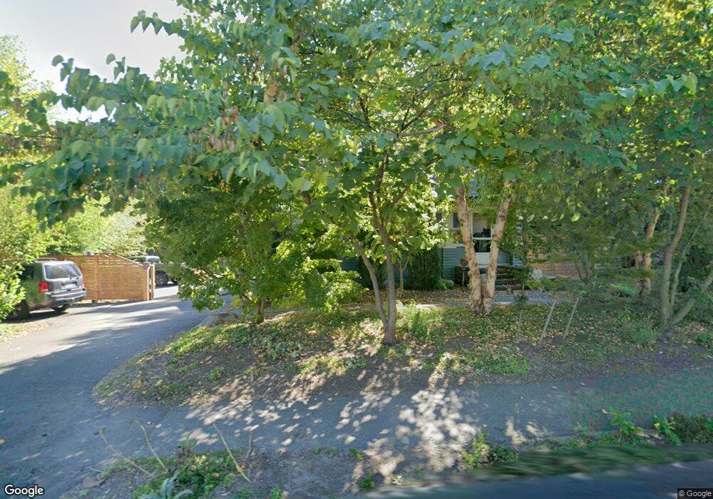
675 Bridge Rd Northampton, MA 01060
Estimated Value: $343,000 - $518,000
4
Beds
1
Bath
1,278
Sq Ft
$356/Sq Ft
Est. Value
About This Home
This home is located at 675 Bridge Rd, Northampton, MA 01060 and is currently estimated at $455,042, approximately $356 per square foot. 675 Bridge Rd is a home located in Hampshire County with nearby schools including Northampton High School, The Montessori School of Northampton, and Lander Grinspoon Academy.
Ownership History
Date
Name
Owned For
Owner Type
Purchase Details
Closed on
Feb 4, 2022
Sold by
Keeney Michael P
Bought by
Keeney Michael P and Mills Michelle
Current Estimated Value
Purchase Details
Closed on
Feb 4, 2011
Sold by
Braswell Jean A
Bought by
Kenney Michael P
Home Financials for this Owner
Home Financials are based on the most recent Mortgage that was taken out on this home.
Original Mortgage
$133,980
Interest Rate
4.82%
Mortgage Type
Purchase Money Mortgage
Purchase Details
Closed on
Nov 15, 2000
Sold by
Brown Ylysses and Crary Sarah H
Bought by
Braswell Jean A and Mientka Jennie H
Home Financials for this Owner
Home Financials are based on the most recent Mortgage that was taken out on this home.
Original Mortgage
$60,000
Interest Rate
7.78%
Mortgage Type
Purchase Money Mortgage
Create a Home Valuation Report for This Property
The Home Valuation Report is an in-depth analysis detailing your home's value as well as a comparison with similar homes in the area
Home Values in the Area
Average Home Value in this Area
Purchase History
| Date | Buyer | Sale Price | Title Company |
|---|---|---|---|
| Keeney Michael P | -- | None Available | |
| Kenney Michael P | $174,000 | -- | |
| Braswell Jean A | $139,000 | -- |
Source: Public Records
Mortgage History
| Date | Status | Borrower | Loan Amount |
|---|---|---|---|
| Previous Owner | Kenney Michael P | $133,980 | |
| Previous Owner | Braswell Jean A | $34,800 | |
| Previous Owner | Braswell Jean A | $60,000 |
Source: Public Records
Tax History
| Year | Tax Paid | Tax Assessment Tax Assessment Total Assessment is a certain percentage of the fair market value that is determined by local assessors to be the total taxable value of land and additions on the property. | Land | Improvement |
|---|---|---|---|---|
| 2025 | $5,771 | $414,300 | $123,100 | $291,200 |
| 2024 | $5,494 | $361,700 | $123,100 | $238,600 |
| 2023 | $5,625 | $355,100 | $111,900 | $243,200 |
| 2022 | $4,979 | $278,300 | $111,900 | $166,400 |
| 2021 | $4,459 | $256,700 | $106,900 | $149,800 |
| 2020 | $4,313 | $256,700 | $106,900 | $149,800 |
| 2019 | $4,045 | $232,900 | $91,900 | $141,000 |
| 2018 | $3,972 | $233,100 | $91,900 | $141,200 |
| 2017 | $3,890 | $233,100 | $91,900 | $141,200 |
| 2016 | $2,836 | $175,500 | $91,900 | $83,600 |
| 2015 | $2,792 | $176,700 | $91,900 | $84,800 |
| 2014 | $2,719 | $176,700 | $91,900 | $84,800 |
Source: Public Records
Map
Nearby Homes
- 0 Terrace Ln
- 289 Hatfield St
- 575 Bridge Rd Unit 12-7
- 575 Bridge Rd Unit 10-5
- 88 Pines Edge Dr Unit 88
- 61 Woodlawn Ave
- 63 Riverside Dr
- 80 Damon Rd Unit 5104
- 80 Damon Rd Unit 4302
- 44 Sheffield Ln
- 32 Stonewall Dr
- 76 Maple St
- 37 Landy Ave
- 67 Park St Unit A
- 61 Crescent St Unit 8
- 61 Crescent St Unit 7
- 218 Elm St
- 37 Finn St
- 13A Finn St
- 61 Harrison Ave
- 685 Bridge Rd
- 669 Bridge Rd
- 693 Bridge Rd
- 670 Bridge Rd
- 697 Bridge Rd
- 705 Bridge Rd
- 711 Bridge Rd
- 712 Bridge Rd
- 68 Hatfield St
- 68 Hatfield St Unit B
- 68 Hatfield St Unit A
- 70 Hatfield St Unit 70A
- 70 Hatfield St
- 70 Hatfield St Unit B
- 716 Bridge Rd
- 64 Hatfield St
- 11 Butternut Ln Unit 11
- 72 Hatfield St Unit B
- 72 Hatfield St Unit A
- 72 Hatfield St
Your Personal Tour Guide
Ask me questions while you tour the home.