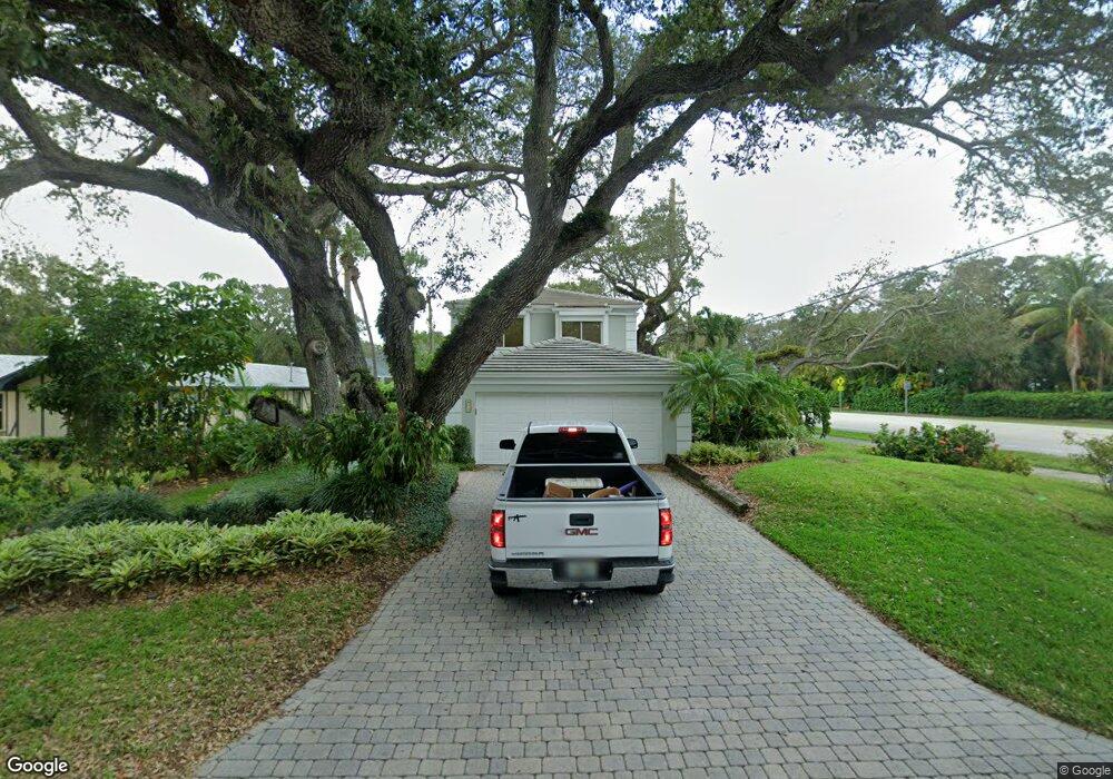
675 Date Palm Rd Vero Beach, FL 32963
Estimated Value: $761,082 - $1,235,000
--
Bed
--
Bath
2,350
Sq Ft
$422/Sq Ft
Est. Value
About This Home
This home is located at 675 Date Palm Rd, Vero Beach, FL 32963 and is currently estimated at $991,521, approximately $421 per square foot. 675 Date Palm Rd is a home located in Indian River County with nearby schools including Beachland Elementary School, Gifford Middle School, and Vero Beach High School.
Ownership History
Date
Name
Owned For
Owner Type
Purchase Details
Closed on
May 2, 2019
Sold by
Barton Kathryn F
Bought by
Barton Kathryn F and Kathryn F Barton Revocable Trust
Current Estimated Value
Purchase Details
Closed on
Aug 27, 2018
Sold by
Barton Kathryn M
Bought by
Barton Kathryn M
Create a Home Valuation Report for This Property
The Home Valuation Report is an in-depth analysis detailing your home's value as well as a comparison with similar homes in the area
Home Values in the Area
Average Home Value in this Area
Purchase History
| Date | Buyer | Sale Price | Title Company |
|---|---|---|---|
| Barton Kathryn F | -- | Attorney | |
| Barton Kathryn M | -- | Attorney |
Source: Public Records
Tax History Compared to Growth
Tax History
| Year | Tax Paid | Tax Assessment Tax Assessment Total Assessment is a certain percentage of the fair market value that is determined by local assessors to be the total taxable value of land and additions on the property. | Land | Improvement |
|---|---|---|---|---|
| 2024 | $2,832 | $230,913 | -- | -- |
| 2023 | $2,832 | $217,868 | $0 | $0 |
| 2022 | $2,815 | $211,522 | $0 | $0 |
| 2021 | $2,760 | $205,361 | $0 | $0 |
| 2020 | $2,742 | $202,525 | $0 | $0 |
| 2019 | $2,736 | $197,971 | $0 | $0 |
| 2018 | $2,721 | $194,280 | $0 | $0 |
| 2017 | $2,690 | $190,284 | $0 | $0 |
| 2016 | $2,650 | $186,370 | $0 | $0 |
| 2015 | $2,716 | $185,080 | $0 | $0 |
| 2014 | $2,594 | $183,620 | $0 | $0 |
Source: Public Records
Map
Nearby Homes
- 661 Date Palm Rd
- 3526 Jimmy Buffett Memorial Hwy
- 700 Fiddlewood Rd
- 636 Cypress Rd
- 3605 Eagle Dr
- 545 Date Palm Rd
- 3655 Flamingo Dr
- 645 Banyan Rd
- 3735 Eagle Dr
- 826 Date Palm Rd
- 846 Date Palm Rd
- 3645 Ocean Dr
- 3765 Flamingo Dr
- 3581 Ocean Dr
- 3579 Ocean Dr
- 655 Acacia Rd
- 645 Acacia Rd
- 3700 Ocean Dr
- 3632 Ocean Dr
- 3756 Ocean Dr
- 690 Eugenia Rd
- 651 Date Palm Rd
- 705 Date Palm Rd
- 670 Eugenia Rd
- 686 Date Palm Rd
- 656 Date Palm Rd
- 708 Date Palm Rd
- 650 Eugenia Rd
- 641 Date Palm Rd
- 715 Date Palm Rd
- 716 Eugenia Rd
- 712 Date Palm Rd
- 640 Date Palm Rd
- 693 Eugenia Rd
- 705 Eugenia Rd
- 675 Cypress Rd
- 665 Cypress Rd
- 630 Eugenia Rd
- 3526 Highway A1a
- 621 Date Palm Rd