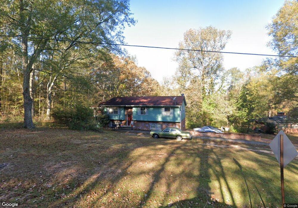
675 Whitaker Rd Lagrange, GA 30240
Estimated Value: $229,305 - $287,000
3
Beds
3
Baths
1,304
Sq Ft
$193/Sq Ft
Est. Value
About This Home
This home is located at 675 Whitaker Rd, Lagrange, GA 30240 and is currently estimated at $252,076, approximately $193 per square foot. 675 Whitaker Rd is a home located in Troup County with nearby schools including Hollis Hand Elementary School, Ethel W. Kight Elementary School, and Franklin Forest Elementary School.
Ownership History
Date
Name
Owned For
Owner Type
Purchase Details
Closed on
Aug 4, 2016
Bought by
Brook Mary M
Current Estimated Value
Purchase Details
Closed on
Dec 1, 2015
Sold by
Farkus Christopher H
Bought by
Citimortgage Inc
Purchase Details
Closed on
Oct 24, 2003
Bought by
Farkus Christopher H
Purchase Details
Closed on
Apr 25, 2003
Sold by
Christopher H Farkus
Purchase Details
Closed on
Aug 2, 2000
Sold by
Kelly James P
Bought by
Christopher H Farkus
Purchase Details
Closed on
May 1, 1993
Sold by
Kelly James P
Bought by
Kelly James P
Purchase Details
Closed on
Jun 29, 1973
Sold by
Whitaker Charlie R
Bought by
Kelly James P
Purchase Details
Closed on
Mar 1, 1946
Sold by
Whitaker B F
Bought by
Whitaker Charlie R
Create a Home Valuation Report for This Property
The Home Valuation Report is an in-depth analysis detailing your home's value as well as a comparison with similar homes in the area
Purchase History
| Date | Buyer | Sale Price | Title Company |
|---|---|---|---|
| Brook Mary M | $78,000 | -- | |
| Citimortgage Inc | $92,900 | -- | |
| Farkus Christopher H | -- | -- | |
| -- | -- | -- | |
| Christopher H Farkus | $118,000 | -- | |
| Kelly James P | -- | -- | |
| Kelly James P | $38,000 | -- | |
| Whitaker Charlie R | -- | -- |
Source: Public Records
Tax History
| Year | Tax Paid | Tax Assessment Tax Assessment Total Assessment is a certain percentage of the fair market value that is determined by local assessors to be the total taxable value of land and additions on the property. | Land | Improvement |
|---|---|---|---|---|
| 2025 | $2,331 | $85,464 | $10,000 | $75,464 |
| 2024 | $1,992 | $73,032 | $10,000 | $63,032 |
| 2023 | $1,947 | $71,396 | $10,000 | $61,396 |
| 2022 | $1,907 | $68,316 | $10,000 | $58,316 |
| 2021 | $1,500 | $49,736 | $10,000 | $39,736 |
| 2020 | $1,500 | $49,736 | $10,000 | $39,736 |
| 2019 | $1,491 | $49,424 | $10,000 | $39,424 |
| 2018 | $1,491 | $49,424 | $10,000 | $39,424 |
| 2017 | $941 | $47,320 | $10,000 | $37,320 |
| 2016 | $1,563 | $51,813 | $9,240 | $42,573 |
| 2015 | $1,506 | $51,813 | $9,240 | $42,573 |
| 2014 | $1,675 | $57,348 | $9,240 | $48,108 |
| 2013 | -- | $57,348 | $9,240 | $48,108 |
Source: Public Records
Map
Nearby Homes
- 104 Spring Valley Dr
- 103 Iroquois Dr
- 203 Shawnee Dr
- 117 Brookwood Dr
- 112 Brookwood Dr
- 201 Willowcrest Way
- 210 Pinehaven Dr
- 960 Cameron Mill Rd
- 1000 Foxcroft Dr
- 638 Cameron Mill Rd
- 2005 Foxcroft Dr
- 102 Millridge Dr
- 2010 Foxcroft Dr
- 101 Deal Dr
- 98 Hearn Rd
- 116 Deal Dr
- 3 Reed Dr
- 402 Ginger Cir
- 0 Unit 10514554
- 4004 White Oak Ln
- 675 Whitaker Rd Unit Lot 12
- 691 Whitaker Rd
- 701 Underwood Dr
- 690 Whitaker Rd
- 701 Whitaker Rd
- 700 Underwood Dr
- 703 Underwood Dr
- 705 Underwood Dr
- 702 Underwood Dr
- 714 Whitaker Rd
- 721 Whitaker Rd
- 1589 New Franklin Rd
- 615 Whitaker Rd
- 728 Whitaker Rd
- 701 Milliken Terrace
- 741 Whitaker Rd
- 616 Whitaker Rd
- 601 Whitaker Rd
- 706 Underwood Dr
- 740 Whitaker Rd
Your Personal Tour Guide
Ask me questions while you tour the home.