Estimated Value: $515,968 - $560,000
3
Beds
2
Baths
1,823
Sq Ft
$300/Sq Ft
Est. Value
About This Home
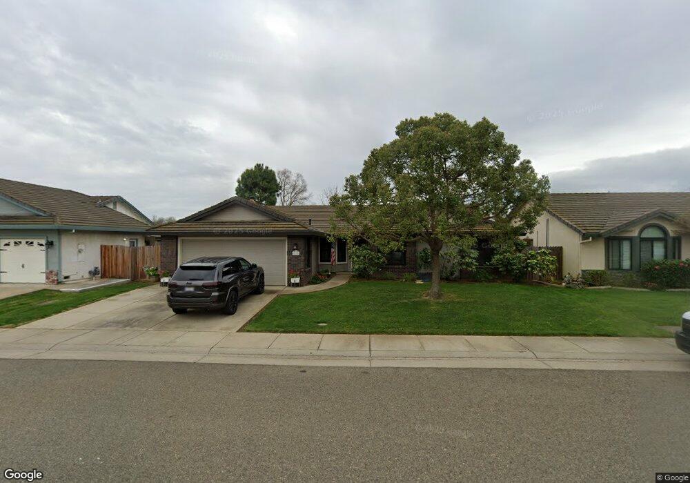
This home is located at 676 Athy Ct, Galt, CA 95632 and is currently estimated at $546,242, approximately $299 per square foot. 676 Athy Ct is a home located in Sacramento County with nearby schools including Lake Canyon Elementary School, Robert L. McCaffrey Middle School, and Liberty Ranch High School.
Ownership History
Date
Name
Owned For
Owner Type
Purchase Details
Closed on
Mar 11, 2002
Sold by
Perris Chris T and Perris Heidi J
Bought by
Coster Ron and Coster Julie
Current Estimated Value
Home Financials for this Owner
Home Financials are based on the most recent Mortgage that was taken out on this home.
Original Mortgage
$207,000
Outstanding Balance
$103,137
Interest Rate
9.87%
Estimated Equity
$443,105
Purchase Details
Closed on
Jul 31, 1997
Sold by
Emerald Park Co
Bought by
Perris Chris T and Perris Heidi J
Create a Home Valuation Report for This Property
The Home Valuation Report is an in-depth analysis detailing your home's value as well as a comparison with similar homes in the area
Home Values in the Area
Average Home Value in this Area
Purchase History
| Date | Buyer | Sale Price | Title Company |
|---|---|---|---|
| Coster Ron | $255,000 | First American Title Ins Co | |
| Perris Chris T | $150,500 | Fidelity National Title Ins |
Source: Public Records
Mortgage History
| Date | Status | Borrower | Loan Amount |
|---|---|---|---|
| Open | Coster Ron | $207,000 |
Source: Public Records
Tax History
| Year | Tax Paid | Tax Assessment Tax Assessment Total Assessment is a certain percentage of the fair market value that is determined by local assessors to be the total taxable value of land and additions on the property. | Land | Improvement |
|---|---|---|---|---|
| 2025 | $3,793 | $339,754 | $103,399 | $236,355 |
| 2024 | $3,793 | $333,093 | $101,372 | $231,721 |
| 2023 | $4,139 | $326,563 | $99,385 | $227,178 |
| 2022 | $3,992 | $320,161 | $97,437 | $222,724 |
| 2021 | $3,995 | $313,884 | $95,527 | $218,357 |
| 2020 | $3,965 | $310,667 | $94,548 | $216,119 |
| 2019 | $3,879 | $304,577 | $92,695 | $211,882 |
| 2018 | $3,872 | $298,606 | $90,878 | $207,728 |
| 2017 | $3,740 | $292,752 | $89,097 | $203,655 |
| 2016 | $3,629 | $287,012 | $87,350 | $199,662 |
| 2015 | $3,752 | $282,701 | $86,038 | $196,663 |
| 2014 | $3,752 | $277,164 | $84,353 | $192,811 |
Source: Public Records
Map
Nearby Homes
- 606 Village Dr
- 724 Adare Way
- 763 Adare Way
- 764 Adare Way
- 799 Morgans Ranch Cir
- 692 Arlene Ct
- 731 Lake Park Cir
- 749 Lake Park Cir
- 773 Lake Park Cir
- 789 Lake Park Cir
- 795 Lake Park Cir
- 765 Lake Park Cir
- 781 Lake Park Cir
- 954 Port Ashton Ct
- 1120 Bellawood Dr
- 1118 Bellawood Dr
- 1103 Bellawood Dr
- 1107 Bellawood Dr
- 1130 Bellawood Dr
- 1126 Bellawood Dr
Your Personal Tour Guide
Ask me questions while you tour the home.