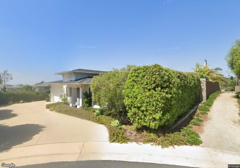
676 Polaris Dr Encinitas, CA 92024
Leucadia NeighborhoodEstimated Value: $2,487,544 - $2,906,000
3
Beds
3
Baths
2,430
Sq Ft
$1,111/Sq Ft
Est. Value
About This Home
This home is located at 676 Polaris Dr, Encinitas, CA 92024 and is currently estimated at $2,700,136, approximately $1,111 per square foot. 676 Polaris Dr is a home with nearby schools including Capri Elementary School, Diegueno Middle School, and La Costa Canyon High School.
Ownership History
Date
Name
Owned For
Owner Type
Purchase Details
Closed on
Jun 2, 2020
Sold by
Bernstein Robert A and Bernstein Elizabeth L
Bought by
Bernstein Robert A and Bernstein Elizabeth L
Current Estimated Value
Home Financials for this Owner
Home Financials are based on the most recent Mortgage that was taken out on this home.
Original Mortgage
$270,000
Outstanding Balance
$239,334
Interest Rate
3.2%
Mortgage Type
New Conventional
Estimated Equity
$2,460,802
Purchase Details
Closed on
Jan 13, 2016
Sold by
Shea Homes Limited Partnership
Bought by
Bernstein Robert A and Bernstein Elizabeth L
Home Financials for this Owner
Home Financials are based on the most recent Mortgage that was taken out on this home.
Original Mortgage
$285,000
Interest Rate
3.56%
Mortgage Type
New Conventional
Create a Home Valuation Report for This Property
The Home Valuation Report is an in-depth analysis detailing your home's value as well as a comparison with similar homes in the area
Home Values in the Area
Average Home Value in this Area
Purchase History
| Date | Buyer | Sale Price | Title Company |
|---|---|---|---|
| Bernstein Robert A | -- | Title Connect Inc | |
| Bernstein Robert A | $1,291,500 | First American Title Company |
Source: Public Records
Mortgage History
| Date | Status | Borrower | Loan Amount |
|---|---|---|---|
| Open | Bernstein Robert A | $270,000 | |
| Previous Owner | Bernstein Robert A | $285,000 |
Source: Public Records
Tax History Compared to Growth
Tax History
| Year | Tax Paid | Tax Assessment Tax Assessment Total Assessment is a certain percentage of the fair market value that is determined by local assessors to be the total taxable value of land and additions on the property. | Land | Improvement |
|---|---|---|---|---|
| 2025 | $15,148 | $1,306,076 | $362,075 | $944,001 |
| 2024 | $15,148 | $1,280,468 | $354,976 | $925,492 |
| 2023 | $14,681 | $1,255,362 | $348,016 | $907,346 |
| 2022 | $14,751 | $1,230,748 | $341,193 | $889,555 |
| 2021 | $14,132 | $1,206,616 | $334,503 | $872,113 |
| 2020 | $13,924 | $1,194,245 | $331,074 | $863,171 |
| 2019 | $13,660 | $1,170,830 | $324,583 | $846,247 |
| 2018 | $12,938 | $1,147,873 | $318,219 | $829,654 |
| 2017 | $12,717 | $1,125,367 | $311,980 | $813,387 |
| 2016 | $4,782 | $374,655 | $274,655 | $100,000 |
| 2015 | $2,600 | $245,905 | $245,905 | $0 |
| 2014 | $2,550 | $241,089 | $241,089 | $0 |
Source: Public Records
Map
Nearby Homes
- 773 Puebla St
- 844 Saxony Rd
- 875 La Mirada Ave
- 1403 Anacona Place Unit 103
- 1400 Anacona Place Unit 105
- 623 Quail Gardens Ln
- 697 Ocean View Ave
- 1129 31 Saxony Rd
- 1139 41 Saxony Rd
- 1601 San Remo Place Unit 101
- 1603 San Remo Place Unit 105
- 614 Ocean View Ave
- 836 Jensen Ct
- 431 Orpheus Ave
- 0 Fulvia St Unit NDP2505418
- 553 Hygeia Ave Unit A
- 0 Mays Hollow Ln
- 870 Hymettus Ave
- 557 Samuel Ct
- 523 N Vulcan Ave Unit 41
- 660 Jocelyn Way
- 672 Polaris Dr
- 656 Jocelyn Way
- 652 Jocelyn Way
- 710 Eugenie Ave Unit House
- 830 Puebla St
- 667 Polaris Dr
- 663 Polaris Dr
- 711 Eugenie Ave
- 661 Jocelyn Way
- 810 Puebla St
- 637 Polaris Dr
- 657 Jocelyn Way
- 637 Jocelyn Way
- 641 Jocelyn Way
- 645 Jocelyn Way
- 900 Channel Island Dr
- 896 Channel Island Dr
- 715 Eugenie Ave
- 720 Eugenie Ave