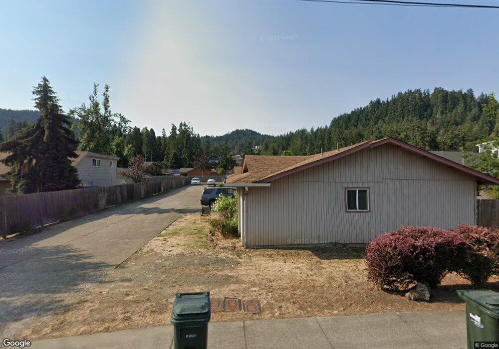
6763 Main St Springfield, OR 97478
Thurston NeighborhoodEstimated Value: $477,000 - $797,000
8
Beds
4
Baths
3,652
Sq Ft
$161/Sq Ft
Est. Value
About This Home
This home is located at 6763 Main St, Springfield, OR 97478 and is currently estimated at $587,064, approximately $160 per square foot. 6763 Main St is a home located in Lane County with nearby schools including Thurston Elementary School, Thurston Middle School, and Thurston High School.
Ownership History
Date
Name
Owned For
Owner Type
Purchase Details
Closed on
Apr 12, 2024
Sold by
Barker Phyllis K
Bought by
Mad Dog Investment Llc
Current Estimated Value
Home Financials for this Owner
Home Financials are based on the most recent Mortgage that was taken out on this home.
Original Mortgage
$558,750
Outstanding Balance
$549,985
Interest Rate
6.94%
Mortgage Type
New Conventional
Estimated Equity
$37,079
Purchase Details
Closed on
Nov 24, 1999
Sold by
Seymour Kathryn C
Bought by
Barker Phyllis K
Home Financials for this Owner
Home Financials are based on the most recent Mortgage that was taken out on this home.
Original Mortgage
$185,500
Interest Rate
7.84%
Purchase Details
Closed on
Oct 22, 1997
Sold by
Anne Lee Leslie and Anne Kathryn C
Bought by
Seymour Kathryn C
Home Financials for this Owner
Home Financials are based on the most recent Mortgage that was taken out on this home.
Original Mortgage
$180,000
Interest Rate
7.22%
Create a Home Valuation Report for This Property
The Home Valuation Report is an in-depth analysis detailing your home's value as well as a comparison with similar homes in the area
Home Values in the Area
Average Home Value in this Area
Purchase History
| Date | Buyer | Sale Price | Title Company |
|---|---|---|---|
| Mad Dog Investment Llc | $754,000 | Cascade Title | |
| Barker Phyllis K | $265,000 | Cascade Title Co | |
| Seymour Kathryn C | -- | Western Pioneer Title Co |
Source: Public Records
Mortgage History
| Date | Status | Borrower | Loan Amount |
|---|---|---|---|
| Open | Mad Dog Investment Llc | $558,750 | |
| Previous Owner | Barker Phyllis K | $185,500 | |
| Previous Owner | Seymour Kathryn C | $180,000 |
Source: Public Records
Tax History
| Year | Tax Paid | Tax Assessment Tax Assessment Total Assessment is a certain percentage of the fair market value that is determined by local assessors to be the total taxable value of land and additions on the property. | Land | Improvement |
|---|---|---|---|---|
| 2025 | $7,041 | $383,940 | -- | -- |
| 2024 | $6,927 | $372,758 | -- | -- |
| 2023 | $6,927 | $361,901 | $0 | $0 |
| 2022 | $6,415 | $351,361 | $0 | $0 |
| 2021 | $6,300 | $341,128 | $0 | $0 |
| 2020 | $6,116 | $331,193 | $0 | $0 |
| 2019 | $5,932 | $321,547 | $0 | $0 |
| 2018 | $5,592 | $303,089 | $0 | $0 |
| 2017 | $5,377 | $303,089 | $0 | $0 |
| 2016 | $5,264 | $294,261 | $0 | $0 |
| 2015 | $5,114 | $285,690 | $0 | $0 |
| 2014 | $5,037 | $277,369 | $0 | $0 |
Source: Public Records
Map
Nearby Homes
- 250 68th St
- 6875 B St
- 6964 Bluebelle Way
- 246 S 70th St
- 6540 B St
- 6451 Dogwood St
- 6884 Forest Ridge Dr
- 0 S 69th Place
- 353 71st St
- 6445 B St
- 0 Forest Ridge Unit 520732026
- 555 66th St
- 7027 S E St
- 545 65th St
- 0 Forest Ridge Dr Unit 637211360
- 616 S 71st St
- 994 S 67th St
- 468 72nd St
- 7025 Glacier Dr
- 6842 Jessica Dr
Your Personal Tour Guide
Ask me questions while you tour the home.