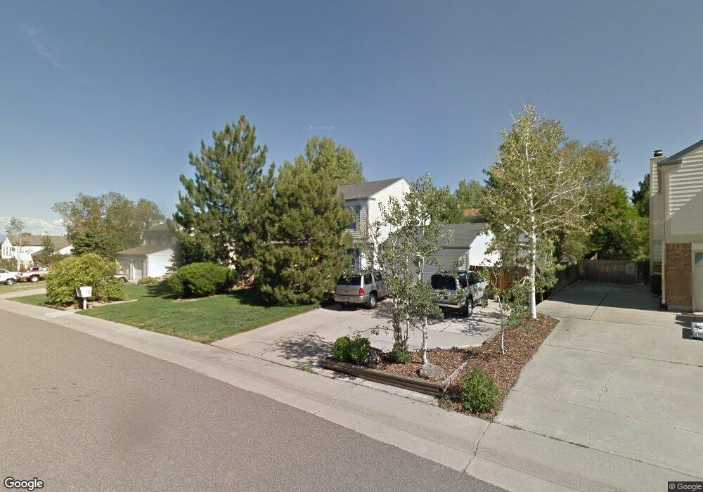
6767 E Rustic Dr Parker, CO 80138
Estimated Value: $533,000 - $583,000
4
Beds
2
Baths
1,856
Sq Ft
$295/Sq Ft
Est. Value
About This Home
This home is located at 6767 E Rustic Dr, Parker, CO 80138 and is currently estimated at $547,043, approximately $294 per square foot. 6767 E Rustic Dr is a home located in Douglas County with nearby schools including Pine Lane Elementary School, Sierra Middle School, and Chaparral High School.
Ownership History
Date
Name
Owned For
Owner Type
Purchase Details
Closed on
Nov 20, 1995
Sold by
Schmidt Dale A and Schmidt Sharon M
Bought by
Marsh Steven M and Marsh Connie G
Current Estimated Value
Home Financials for this Owner
Home Financials are based on the most recent Mortgage that was taken out on this home.
Original Mortgage
$124,800
Interest Rate
7.48%
Purchase Details
Closed on
Dec 22, 1993
Sold by
Schmidt Darold E
Bought by
Schmidt Dale A and Schmidt Sharon M
Home Financials for this Owner
Home Financials are based on the most recent Mortgage that was taken out on this home.
Original Mortgage
$93,750
Interest Rate
7.12%
Purchase Details
Closed on
Dec 16, 1985
Sold by
Waller Ronald P and Waller Murina D
Bought by
Shmidt Dale A and Shmidt Sharon M
Purchase Details
Closed on
Apr 28, 1983
Sold by
Frederick John and Towner Carol A
Bought by
Waller Ronald P and Waller Murina D
Create a Home Valuation Report for This Property
The Home Valuation Report is an in-depth analysis detailing your home's value as well as a comparison with similar homes in the area
Purchase History
| Date | Buyer | Sale Price | Title Company |
|---|---|---|---|
| Marsh Steven M | $156,000 | -- | |
| Schmidt Dale A | -- | -- | |
| Shmidt Dale A | $85,000 | -- | |
| Waller Ronald P | $87,500 | -- |
Source: Public Records
Mortgage History
| Date | Status | Borrower | Loan Amount |
|---|---|---|---|
| Closed | Marsh Steven M | $124,800 | |
| Previous Owner | Schmidt Dale A | $93,750 |
Source: Public Records
Tax History
| Year | Tax Paid | Tax Assessment Tax Assessment Total Assessment is a certain percentage of the fair market value that is determined by local assessors to be the total taxable value of land and additions on the property. | Land | Improvement |
|---|---|---|---|---|
| 2025 | $3,039 | $32,410 | $10,190 | $22,220 |
| 2024 | $3,039 | $37,730 | $10,410 | $27,320 |
| 2023 | $3,075 | $37,730 | $10,410 | $27,320 |
| 2022 | $2,332 | $26,390 | $6,050 | $20,340 |
| 2021 | $2,427 | $26,390 | $6,050 | $20,340 |
| 2020 | $2,409 | $26,640 | $5,750 | $20,890 |
| 2019 | $2,424 | $26,640 | $5,750 | $20,890 |
| 2018 | $2,049 | $21,960 | $5,440 | $16,520 |
| 2017 | $1,904 | $21,960 | $5,440 | $16,520 |
| 2016 | $1,582 | $17,920 | $3,580 | $14,340 |
| 2015 | $805 | $17,920 | $3,580 | $14,340 |
| 2014 | $791 | $15,730 | $3,340 | $12,390 |
Source: Public Records
Map
Nearby Homes
- 6844 Bethany Dr
- 11641 Colony Loop
- 11453 Donley Dr
- 11289 Donley Dr
- 11654 Parksouth Ln
- 11677 Park South Ln
- 11733 Crestop Way Unit B
- 10215 Parkglenn Way
- 6810 Sea Oats Dr
- 6680 Sea Oats Dr
- 11016 Brownstone Dr
- 11865 Barrentine Loop
- 11853 Zebra Grass Way
- 10721 Longs Way
- 19833 Rosewood Ct
- 6906 Longpark Dr
- 11897 Sea Oats St
- 6697 Zebra Grass Ln
- 11898 S Clayson St
- 11887 S Clayson St
- 6781 E Rustic Dr
- 6751 E Rustic Dr
- 11433 Brownstone Dr
- 11431 Brownstone Dr
- 11435 Brownstone Dr
- 6739 E Rustic Dr
- 6797 E Rustic Dr
- 6764 E Rustic Dr
- 6750 E Rustic Dr
- 6784 E Rustic Dr
- 11429 Brownstone Dr
- 11437 Brownstone Dr
- 6813 E Rustic Dr
- 6738 E Rustic Dr
- 6798 E Rustic Dr
- 11439 Brownstone Dr
- 11434 Brownstone Dr
- 6722 E Rustic Dr
- 11432 Brownstone Dr
- 11436 Brownstone Dr
Your Personal Tour Guide
Ask me questions while you tour the home.