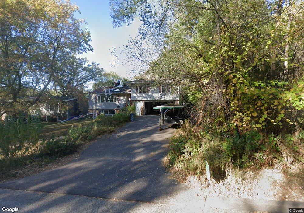
677 Mcknight Rd S Saint Paul, MN 55119
Battle Creek NeighborhoodEstimated Value: $341,000 - $373,000
3
Beds
3
Baths
2,040
Sq Ft
$173/Sq Ft
Est. Value
About This Home
This home is located at 677 Mcknight Rd S, Saint Paul, MN 55119 and is currently estimated at $351,991, approximately $172 per square foot. 677 Mcknight Rd S is a home located in Ramsey County with nearby schools including Highwood Hills Elementary School, Battle Creek Middle School, and Harding Senior High School.
Ownership History
Date
Name
Owned For
Owner Type
Purchase Details
Closed on
Jun 19, 2014
Sold by
Abel Aaron P and Abel Molly K
Bought by
Smrekar Lauren H and Frankland Timothy D
Current Estimated Value
Home Financials for this Owner
Home Financials are based on the most recent Mortgage that was taken out on this home.
Original Mortgage
$182,700
Outstanding Balance
$138,861
Interest Rate
4.18%
Mortgage Type
New Conventional
Estimated Equity
$213,130
Purchase Details
Closed on
Feb 18, 2009
Sold by
Emc Mortgage Corp
Bought by
Feidt Joe
Create a Home Valuation Report for This Property
The Home Valuation Report is an in-depth analysis detailing your home's value as well as a comparison with similar homes in the area
Home Values in the Area
Average Home Value in this Area
Purchase History
| Date | Buyer | Sale Price | Title Company |
|---|---|---|---|
| Smrekar Lauren H | $209,151 | Alliance Title Llc | |
| Feidt Joe | $92,000 | -- |
Source: Public Records
Mortgage History
| Date | Status | Borrower | Loan Amount |
|---|---|---|---|
| Open | Smrekar Lauren H | $182,700 |
Source: Public Records
Tax History Compared to Growth
Tax History
| Year | Tax Paid | Tax Assessment Tax Assessment Total Assessment is a certain percentage of the fair market value that is determined by local assessors to be the total taxable value of land and additions on the property. | Land | Improvement |
|---|---|---|---|---|
| 2025 | $5,118 | $300,400 | $41,500 | $258,900 |
| 2023 | $5,118 | $335,300 | $41,500 | $293,800 |
| 2022 | $4,014 | $309,200 | $41,500 | $267,700 |
| 2021 | $3,602 | $257,900 | $41,500 | $216,400 |
| 2020 | $3,636 | $241,600 | $41,500 | $200,100 |
| 2019 | $3,506 | $228,600 | $41,500 | $187,100 |
| 2018 | $3,662 | $218,100 | $41,500 | $176,600 |
| 2017 | $3,194 | $232,700 | $41,500 | $191,200 |
| 2016 | $3,036 | $0 | $0 | $0 |
| 2015 | $3,062 | $196,700 | $41,500 | $155,200 |
| 2014 | $2,914 | $0 | $0 | $0 |
Source: Public Records
Map
Nearby Homes
- 688 Burlington Rd
- 2338 Hillwood Dr E
- 2300 Dahl Ct E
- 760 Dorland Rd S
- 819 Dorland Rd S
- 567 Lakewood Dr S
- 0 Oakridge St
- 2070 Oakridge St
- 850 Winthrop St S
- 570 Crestview Dr S
- 515 Marnie St S
- 908 Winthrop St S
- 650 Point Douglas Rd S
- 2363 Dorland Ln E
- 2321 Pond Ave E Unit 36
- 606 Sterling St S
- 491 Burlington Rd
- 2365 Dorland Ln E Unit 62
- 2119 Skyway Dr
- 2125 Skyway Dr
- 685 685 McKnight-road-s
- 677 677 McKnight Rd S
- 686 Burlington Rd
- 680 Burlington Rd
- 676 Burlington Rd
- 659 Mcknight Rd S
- 650 Hillwood Ct
- 699 Mcknight Rd S
- 672 Burlington Rd
- 646 Hillwood Ct
- 646 646 Hillwood-Court-
- 651 Mcknight Rd S
- 649 Hillwood Ct
- 685 Burlington Rd
- 685 685 Burlington-Road-
- 668 Burlington Rd
- 645 Mcknight Rd S
- 642 Hillwood Ct
- 675 Burlington Rd
- 2242 Springside Dr E