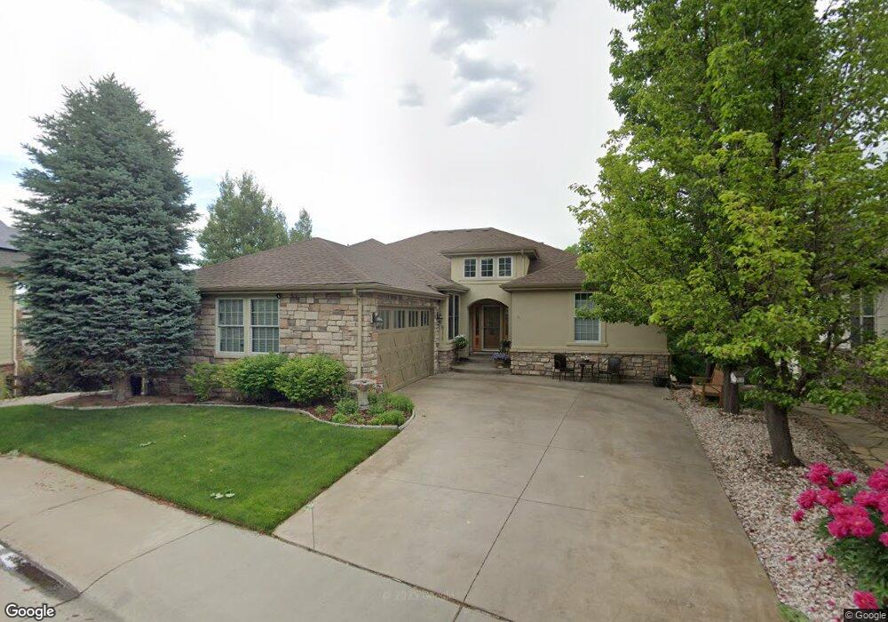
6770 S Quail Ln Littleton, CO 80127
Powderhorn NeighborhoodEstimated Value: $1,004,000 - $1,268,000
4
Beds
7
Baths
2,646
Sq Ft
$425/Sq Ft
Est. Value
About This Home
This home is located at 6770 S Quail Ln, Littleton, CO 80127 and is currently estimated at $1,123,259, approximately $424 per square foot. 6770 S Quail Ln is a home located in Jefferson County with nearby schools including Powderhorn Elementary School, Summit Ridge Middle School, and Dakota Ridge Senior High School.
Ownership History
Date
Name
Owned For
Owner Type
Purchase Details
Closed on
Mar 29, 2004
Sold by
Eagle View Development Llc
Bought by
Frazier Robert T and Amato Regina M
Current Estimated Value
Home Financials for this Owner
Home Financials are based on the most recent Mortgage that was taken out on this home.
Original Mortgage
$464,000
Interest Rate
3.5%
Mortgage Type
Credit Line Revolving
Create a Home Valuation Report for This Property
The Home Valuation Report is an in-depth analysis detailing your home's value as well as a comparison with similar homes in the area
Home Values in the Area
Average Home Value in this Area
Purchase History
| Date | Buyer | Sale Price | Title Company |
|---|---|---|---|
| Frazier Robert T | $580,000 | Land Title Guarantee Company |
Source: Public Records
Mortgage History
| Date | Status | Borrower | Loan Amount |
|---|---|---|---|
| Closed | Frazier Robert T | $464,000 | |
| Closed | Frazier Robert T | $87,000 |
Source: Public Records
Tax History Compared to Growth
Tax History
| Year | Tax Paid | Tax Assessment Tax Assessment Total Assessment is a certain percentage of the fair market value that is determined by local assessors to be the total taxable value of land and additions on the property. | Land | Improvement |
|---|---|---|---|---|
| 2024 | $8,477 | $64,907 | $14,886 | $50,021 |
| 2023 | $8,477 | $64,907 | $14,886 | $50,021 |
| 2022 | $7,330 | $56,660 | $15,175 | $41,485 |
| 2021 | $7,461 | $58,290 | $15,612 | $42,678 |
| 2020 | $6,802 | $53,843 | $13,184 | $40,659 |
| 2019 | $6,745 | $53,843 | $13,184 | $40,659 |
| 2018 | $6,015 | $47,873 | $10,994 | $36,879 |
| 2017 | $5,660 | $47,873 | $10,994 | $36,879 |
| 2016 | $5,274 | $44,974 | $9,366 | $35,608 |
| 2015 | $6,768 | $47,216 | $9,366 | $37,850 |
| 2014 | $6,768 | $45,496 | $9,254 | $36,242 |
Source: Public Records
Map
Nearby Homes
- 6763 S Robb Ct
- 11502 W Cooper Ave
- 6616 S Oak Cir
- 6588 S Oak Cir
- 11411 W Cooper Dr
- 10707 W Cooper Dr
- 6506 S Robb Way
- 6459 S Queen Way
- 10678 W Peakview Dr
- 6424 S Routt St
- 11412 W Roxbury Place
- 6520 S Simms Way
- 10675 W Rowland Ave
- 10656 W Rowland Ave
- 6883 S Lee Ct
- 10944 W Caley Ave
- 11434 W Roxbury Dr
- 6325 S Oak Way
- 10258 W Coal Mine Place
- 6658 S Kline Way
- 6762 S Routt St
- 6780 S Quail Ln
- 6742 S Routt St
- 6790 S Quail Ln
- 11178 W Ontario Ave
- 11188 W Ontario Ave
- 11137 W Ontario Ave
- 6799 S Queen Rd
- 11168 W Ontario Ave
- 11198 W Ontario Ave
- 6732 S Routt St
- 11158 W Ontario Ave
- 6768 S Queen Rd
- 11208 W Ontario Ave
- 6789 S Queen Rd
- 11228 W Ontario Ave
- 11148 W Ontario Ave
- 6734 S Queen Ct
- 6722 S Routt St
- 11127 W Ontario Ave