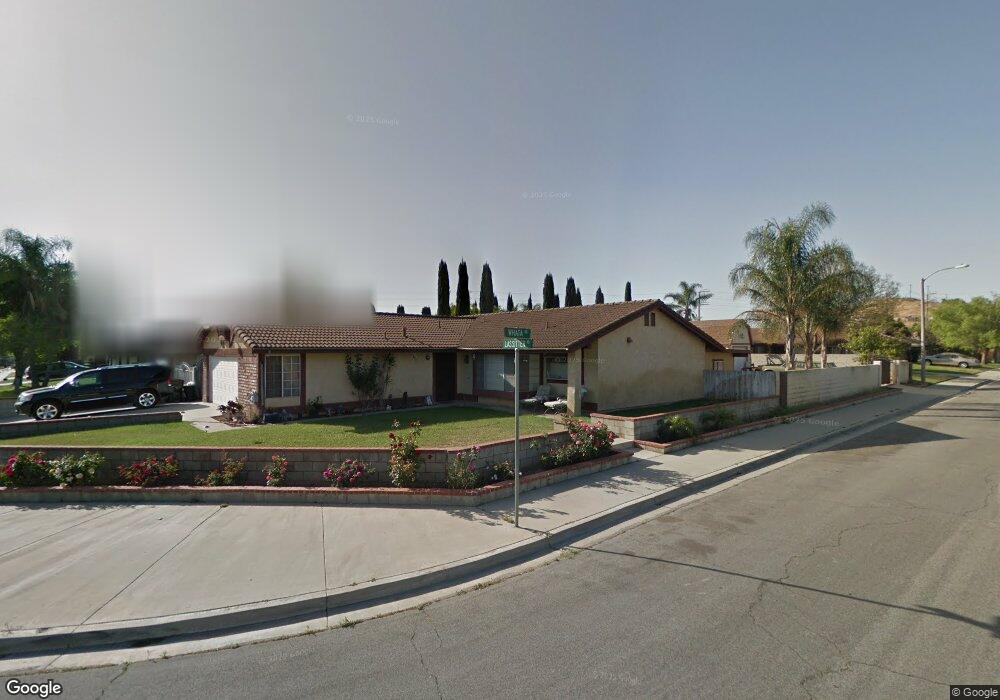
6774 Lassitter Rd Riverside, CA 92509
Sunnyslope NeighborhoodEstimated Value: $554,000 - $661,000
4
Beds
2
Baths
1,608
Sq Ft
$385/Sq Ft
Est. Value
About This Home
This home is located at 6774 Lassitter Rd, Riverside, CA 92509 and is currently estimated at $619,416, approximately $385 per square foot. 6774 Lassitter Rd is a home located in Riverside County with nearby schools including Sunnyslope Elementary School, Jurupa Middle School, and Patriot High School.
Ownership History
Date
Name
Owned For
Owner Type
Purchase Details
Closed on
Apr 24, 2006
Sold by
Miller Leforbes Deanna and Leforbes Melvin
Bought by
Miller Leforbes Deanna
Current Estimated Value
Home Financials for this Owner
Home Financials are based on the most recent Mortgage that was taken out on this home.
Original Mortgage
$323,400
Outstanding Balance
$185,095
Interest Rate
6.29%
Mortgage Type
Stand Alone Refi Refinance Of Original Loan
Estimated Equity
$434,321
Purchase Details
Closed on
Mar 12, 2001
Sold by
Savino Myong C
Bought by
Miller Leforbes Deanna
Home Financials for this Owner
Home Financials are based on the most recent Mortgage that was taken out on this home.
Original Mortgage
$132,000
Interest Rate
8.5%
Mortgage Type
Purchase Money Mortgage
Purchase Details
Closed on
Jan 10, 2001
Sold by
Va
Bought by
Savino Myong C
Create a Home Valuation Report for This Property
The Home Valuation Report is an in-depth analysis detailing your home's value as well as a comparison with similar homes in the area
Home Values in the Area
Average Home Value in this Area
Purchase History
| Date | Buyer | Sale Price | Title Company |
|---|---|---|---|
| Miller Leforbes Deanna | -- | Orange Coast Title | |
| Miller Leforbes Deanna | $165,000 | First American Title Co | |
| Savino Myong C | -- | -- |
Source: Public Records
Mortgage History
| Date | Status | Borrower | Loan Amount |
|---|---|---|---|
| Open | Miller Leforbes Deanna | $323,400 | |
| Closed | Miller Leforbes Deanna | $132,000 | |
| Closed | Miller Leforbes Deanna | $33,000 |
Source: Public Records
Tax History
| Year | Tax Paid | Tax Assessment Tax Assessment Total Assessment is a certain percentage of the fair market value that is determined by local assessors to be the total taxable value of land and additions on the property. | Land | Improvement |
|---|---|---|---|---|
| 2025 | $2,770 | $255,036 | $60,258 | $194,778 |
| 2023 | $2,770 | $245,134 | $57,919 | $187,215 |
| 2022 | $3,165 | $240,329 | $56,784 | $183,545 |
| 2021 | $2,689 | $235,618 | $55,671 | $179,947 |
| 2020 | $3,008 | $233,203 | $55,101 | $178,102 |
| 2019 | $2,610 | $228,631 | $54,021 | $174,610 |
| 2018 | $2,526 | $224,149 | $52,962 | $171,187 |
| 2017 | $2,498 | $219,755 | $51,924 | $167,831 |
| 2016 | $2,462 | $215,447 | $50,906 | $164,541 |
| 2015 | $2,428 | $212,213 | $50,143 | $162,070 |
| 2014 | $2,266 | $208,058 | $49,161 | $158,897 |
Source: Public Records
Map
Nearby Homes
- 6676 Coloma Way
- 3475 Skylane Dr
- 3483 Skylane Dr
- 6916 36th St
- 2809 Upton Ct
- 6929 37th St
- 2900 Winter Park Ave
- 2884 Winter Park Ave
- 6194 Canal St
- 3363 Lakota Ln
- 3387 Lakota Ln
- 3410 Lakota Ln
- 6212 Sequanota Dr
- 0 Jewel St
- 6176 Sequanota Dr
- 6452 Mission Blvd
- 6128 Sequanota Dr
- 6625 Karen Ln
- 2668 Half Dome Ct
- 6402 June Mountain Way
- 6756 Lassitter Rd
- 3122 Whata Rd
- 3089 Whata Rd
- 3105 Whata Rd
- 3227 Everlee Ct
- 3075 Whata Rd
- 3138 Whata Rd
- 3121 Whata Rd
- 6716 Lassitter Rd
- 6771 Lassitter Rd
- 3211 Everlee Ct
- 6789 Lassitter Rd
- 6753 Lassitter Rd
- 3137 Whata Rd
- 3061 Whata Rd
- 3243 Everlee Ct
- 6735 Lassitter Rd
- 6797 Lassitter Rd
- 6696 Lassitter Rd
- 3153 Whata Rd
Your Personal Tour Guide
Ask me questions while you tour the home.