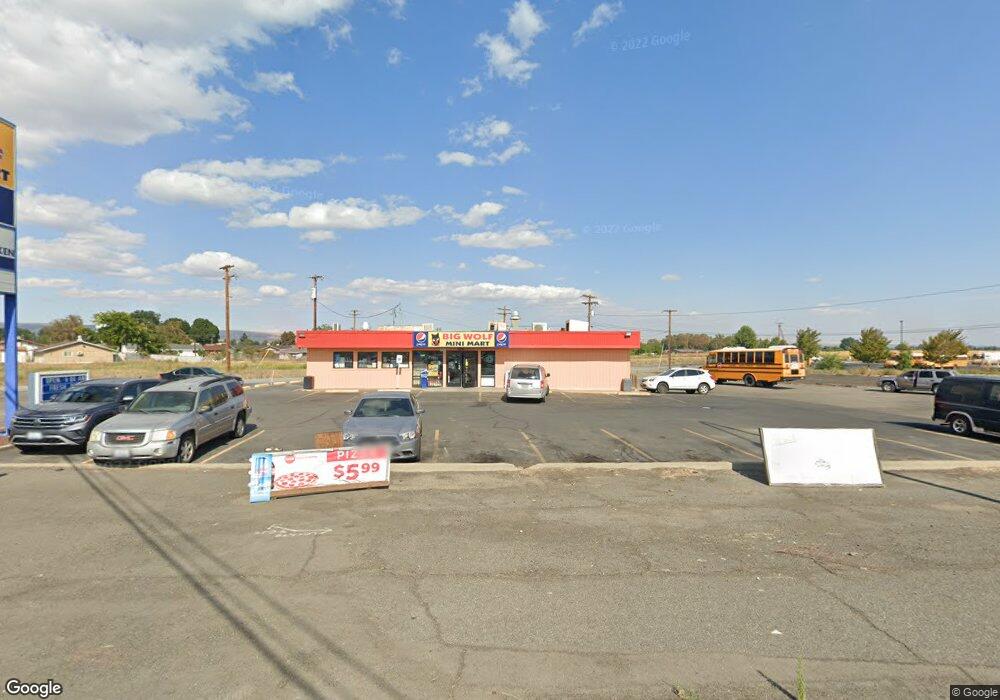
67831 Us Highway 97 Wapato, WA 98951
Estimated Value: $484,717
--
Bed
1
Bath
1,532
Sq Ft
$316/Sq Ft
Est. Value
About This Home
This home is located at 67831 Us Highway 97, Wapato, WA 98951 and is currently estimated at $484,717, approximately $316 per square foot. 67831 Us Highway 97 is a home located in Yakima County with nearby schools including Camas Elementary School, Adams Elementary School, and Satus Elementary School.
Ownership History
Date
Name
Owned For
Owner Type
Purchase Details
Closed on
Sep 29, 2010
Sold by
Toc Holdings Co
Bought by
Big Wolf Llc
Current Estimated Value
Home Financials for this Owner
Home Financials are based on the most recent Mortgage that was taken out on this home.
Original Mortgage
$140,000
Interest Rate
4.35%
Mortgage Type
Seller Take Back
Create a Home Valuation Report for This Property
The Home Valuation Report is an in-depth analysis detailing your home's value as well as a comparison with similar homes in the area
Home Values in the Area
Average Home Value in this Area
Purchase History
| Date | Buyer | Sale Price | Title Company |
|---|---|---|---|
| Big Wolf Llc | $179,500 | Fidelity Title Company |
Source: Public Records
Mortgage History
| Date | Status | Borrower | Loan Amount |
|---|---|---|---|
| Closed | Big Wolf Llc | $140,000 |
Source: Public Records
Tax History Compared to Growth
Tax History
| Year | Tax Paid | Tax Assessment Tax Assessment Total Assessment is a certain percentage of the fair market value that is determined by local assessors to be the total taxable value of land and additions on the property. | Land | Improvement |
|---|---|---|---|---|
| 2025 | $5,094 | $511,400 | $326,100 | $185,300 |
| 2023 | $2,354 | $254,450 | $105,950 | $148,500 |
| 2022 | $2,447 | $234,500 | $81,500 | $153,000 |
| 2021 | $2,543 | $239,800 | $81,500 | $158,300 |
| 2019 | $2,583 | $230,600 | $81,500 | $149,100 |
| 2018 | $2,582 | $211,800 | $81,500 | $130,300 |
| 2017 | $3,799 | $208,200 | $81,500 | $126,700 |
| 2016 | $2,867 | $213,800 | $81,500 | $132,300 |
| 2015 | $2,867 | $219,400 | $81,500 | $137,900 |
| 2014 | $2,867 | $243,100 | $59,700 | $183,400 |
| 2013 | $2,867 | $243,100 | $59,700 | $183,400 |
Source: Public Records
Map
Nearby Homes
- 221 Skone Way
- 703 S Naches Ave
- 604 W 4th St
- 1423 Progressive Rd
- 100 Gordon Ln
- 213 W C St
- 115 E Elizabeth St
- 260 Truck Garden Ln
- NKA Knights Lane Campbell Rd
- NKA Branch Rd
- 300 E Martin Ln
- nka W Rd
- nka Lateral A Prgrssve Rd Rd
- 2284 Ashue Rd
- 0 McDonald Rd
- NNA Fort Rd Unit Fort Rd/Lateral B Rd
- 4820 Lateral A Rd
- NKA Campbell Rd
- 481 W Parker Heights Rd
- NKA McDonald Rd
- 1281 S Camas Ave
- 70 S Wapato Rd
- 1291 S Camas Ave Unit 14
- 1305 S Camas Ave
- 1331 S Camas Ave
- 40 Skone Way
- 60 Skone Way
- 20 Skone Way
- 80 Skone Way
- 100 Skone Way
- 100 S Wapato Rd
- 120 Skone Way
- 140 S Wapato Rd
- 51 Home Acres Rd
- 140 Skone Way
- 61 Skone Way
- 1201 S Camas Ave
- 160 South St
- 31 Home Acres Rd
- 81 Skone Way