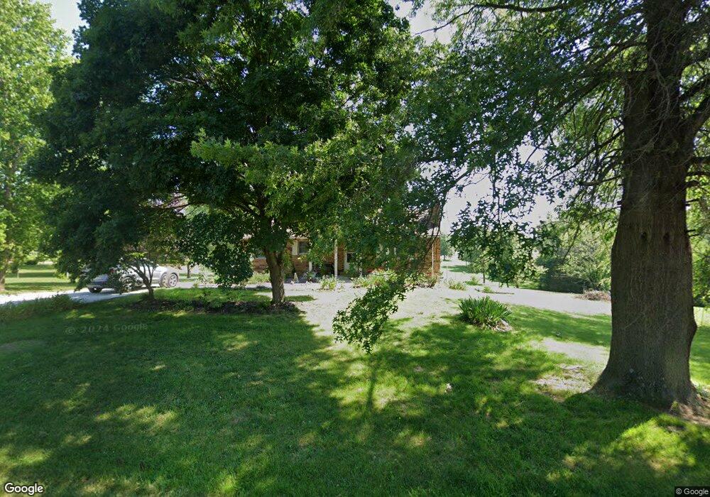
679 Branch Rd Holts Summit, MO 65043
Estimated Value: $220,000 - $249,000
Studio
--
Bath
1,290
Sq Ft
$177/Sq Ft
Est. Value
About This Home
This home is located at 679 Branch Rd, Holts Summit, MO 65043 and is currently estimated at $228,776, approximately $177 per square foot. 679 Branch Rd is a home located in Callaway County with nearby schools including North Elementary School, Lewis & Clark Middle School, and Jefferson City High School.
Ownership History
Date
Name
Owned For
Owner Type
Purchase Details
Closed on
Mar 11, 2021
Sold by
Henderson Melissa C and Duckett Matthew G
Bought by
Duckett Melissa C and Duckett Matthew G
Current Estimated Value
Home Financials for this Owner
Home Financials are based on the most recent Mortgage that was taken out on this home.
Original Mortgage
$109,000
Outstanding Balance
$78,614
Interest Rate
2.73%
Mortgage Type
Stand Alone Refi Refinance Of Original Loan
Estimated Equity
$150,162
Purchase Details
Closed on
Jan 30, 2009
Sold by
Strobel Deborah L Goff
Bought by
Henderson Melissa C
Home Financials for this Owner
Home Financials are based on the most recent Mortgage that was taken out on this home.
Original Mortgage
$122,250
Interest Rate
5.06%
Mortgage Type
New Conventional
Create a Home Valuation Report for This Property
The Home Valuation Report is an in-depth analysis detailing your home's value as well as a comparison with similar homes in the area
Home Values in the Area
Average Home Value in this Area
Purchase History
| Date | Buyer | Sale Price | Title Company |
|---|---|---|---|
| Duckett Melissa C | -- | None Available | |
| Henderson Melissa C | -- | None Available |
Source: Public Records
Mortgage History
| Date | Status | Borrower | Loan Amount |
|---|---|---|---|
| Open | Duckett Melissa C | $109,000 | |
| Previous Owner | Henderson Melissa C | $122,250 |
Source: Public Records
Tax History
| Year | Tax Paid | Tax Assessment Tax Assessment Total Assessment is a certain percentage of the fair market value that is determined by local assessors to be the total taxable value of land and additions on the property. | Land | Improvement |
|---|---|---|---|---|
| 2025 | $1,514 | $24,909 | $0 | $0 |
| 2024 | $1,514 | $24,909 | $0 | $0 |
| 2023 | $1,553 | $24,434 | $0 | $0 |
| 2022 | $1,523 | $24,434 | $4,685 | $19,749 |
| 2021 | $1,513 | $24,434 | $4,685 | $19,749 |
| 2020 | $1,532 | $24,434 | $4,685 | $19,749 |
| 2019 | $1,469 | $24,434 | $4,685 | $19,749 |
| 2018 | $1,474 | $24,434 | $4,685 | $19,749 |
| 2017 | $1,004 | $16,872 | $2,236 | $14,636 |
| 2016 | $861 | $16,880 | $0 | $0 |
| 2015 | $862 | $16,880 | $0 | $0 |
| 2014 | $853 | $16,340 | $0 | $0 |
Source: Public Records
Map
Nearby Homes
- 277 Lorene St
- 331 Major Terrace
- 723 Halifax Rd
- 801 Halifax Rd
- 115 Shelton Dr
- 499 Perrey Dr
- 0 Halifax Rd
- 415 Spring Ave
- 11419 Valley View Ct
- 315 Harwood St
- 13140 County Road 4037
- 110 Wildfire Ct
- 12085 County Road 4037
- 0 County Road 4039
- 12329 County Road 4039
- 305 W Hillcrest Ave (Lot 2)
- 305 W Hillcrest Ave (Lot 1)
- LOT 6 Willow Woods
- 41 acres Dover Dr
- 0 Dover Dr
- 689 Branch Rd
- 300 St Andrews Dr
- 359 St Andrews Dr
- 678 Branch Rd
- 686 Branch Rd
- 670 Branch Rd
- 694 Branch Rd
- 699 Branch Rd
- 662 Branch Rd
- 351 St Andrews Dr
- 344 St Andrews Dr
- 704 Branch Rd
- 361 St Andrews Dr
- 709 Branch Rd
- 331 St Andrews Dr
- 654 Branch Rd
- 401 St Andrews Dr
- 699 Westminster Place
- 707 Westminster Place
- 312 Britton Ln
Your Personal Tour Guide
Ask me questions while you tour the home.